In the first place we will answer a query which no doubt you have in mind as you read this: what is a geosite?
A geosite or site of geological interest (Lugar de Interés Geológico, LIG) can be defined as an area which is included in the geological heritage of a place or region and which has one or two important features of proven importance in the geological history of the region.
In other words, a geosite is a window onto the past, a place where you can observe the Earth from a completely new perspective and become aware of the incredible history that the planet has had over millions of years.
At the Villuercas-Ibores-Jara Global Geopark of the UNESCO we have 50 geosites scattered over a surface area of 2,500 square kilometres. They will serve you as a guide to explore and discover this territory with its internationally recognised rich geodiversity. Start this incredible journey of discovery!
The Earth: a History in millions of years
Cenozoic
Today
Anthropocene?
2,58
Quaternary
23,03
Neogene
66
Paleogene
Mesozoic
145
Cretaceous
201,3
Jurassic
251,9
Triassic
Palaeozoic
298,9
Permian
358,9
Carboniferous
419,2
Devonian
443,8
Silurian
485,4
Ordovician
541
Cambrian
Proterozoico
635
Ediacaran (Neoproterozoic)
1.000
Neoproterozoic
1.600
Mesoproterozoic
2.500
Palaeoproterozoic
Hadean and Archean
4.000
Archean
4.600
Hadean - Origin of the Earth
13.800
Origin of the Universe
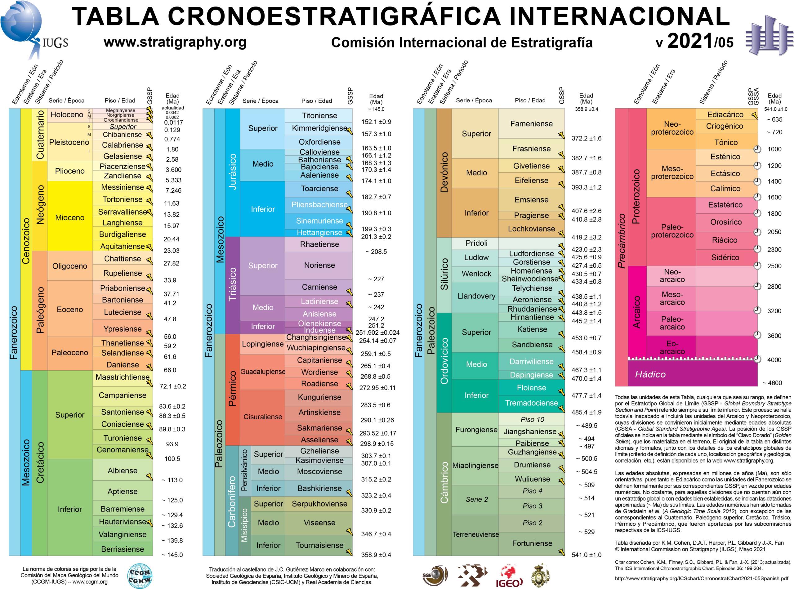
International chronostratigraphic chart
Nuestros Geositios
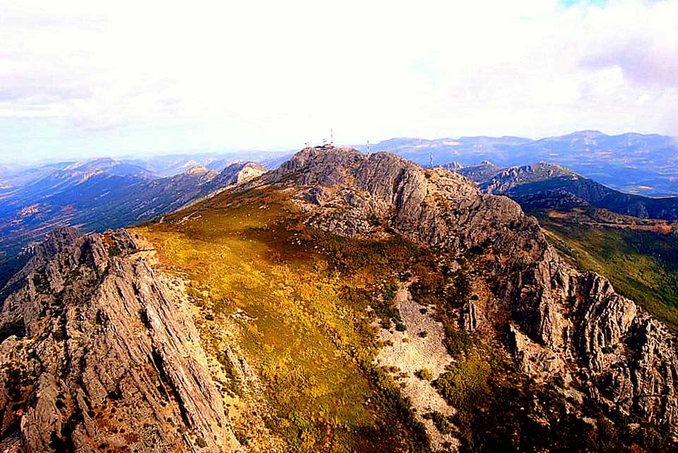
Nº01 – La Villuerca Crag
LOCATION AND ACCESS The Villuerca crag (Pico de la Villuerca – Villuerca peak - in the ING “Instituto Nacional de Geografia” cartography) is located between the municipalities of Navezuelas and [...]
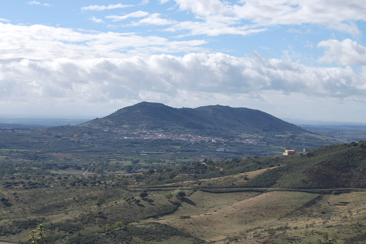
Nº02 – Cerro de San Cristóbal
LOCATION AND ACCESS The so-called Cerro or Sierra de San Cristóbal is an isolated mountain (hill) with a maximum altitude of 680 m, and some 2500 m in length, located [...]
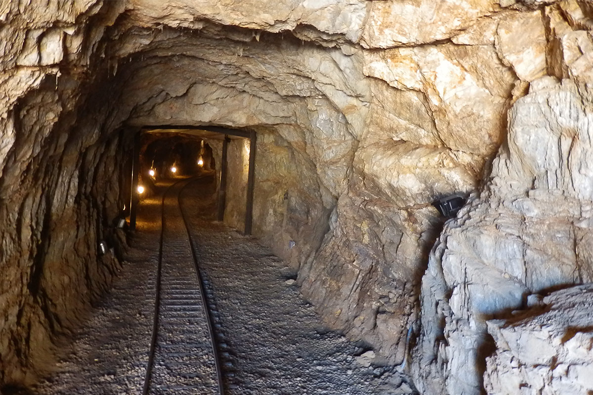
Nº03 – The Phosphorite Mine of la Costanaza
LOCATION AND ACCESS To access the mining facilities, take the road towards Cañamero and about 500 metres from the centre of Logrosán you will find the site that houses the [...]
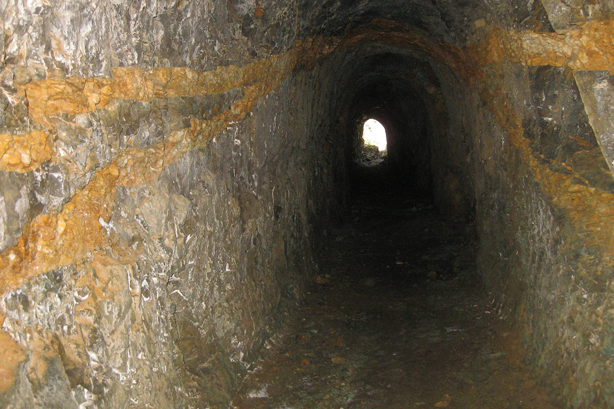
Nº04 – El Serranillo Mine
LOCATION AND ACCESS The mine is located in the Cerro del Serranillo (Serranillo hill) area, about 2.5 km northeast of the village of Logrosán. At present, its gallery, El Serranillo, [...]
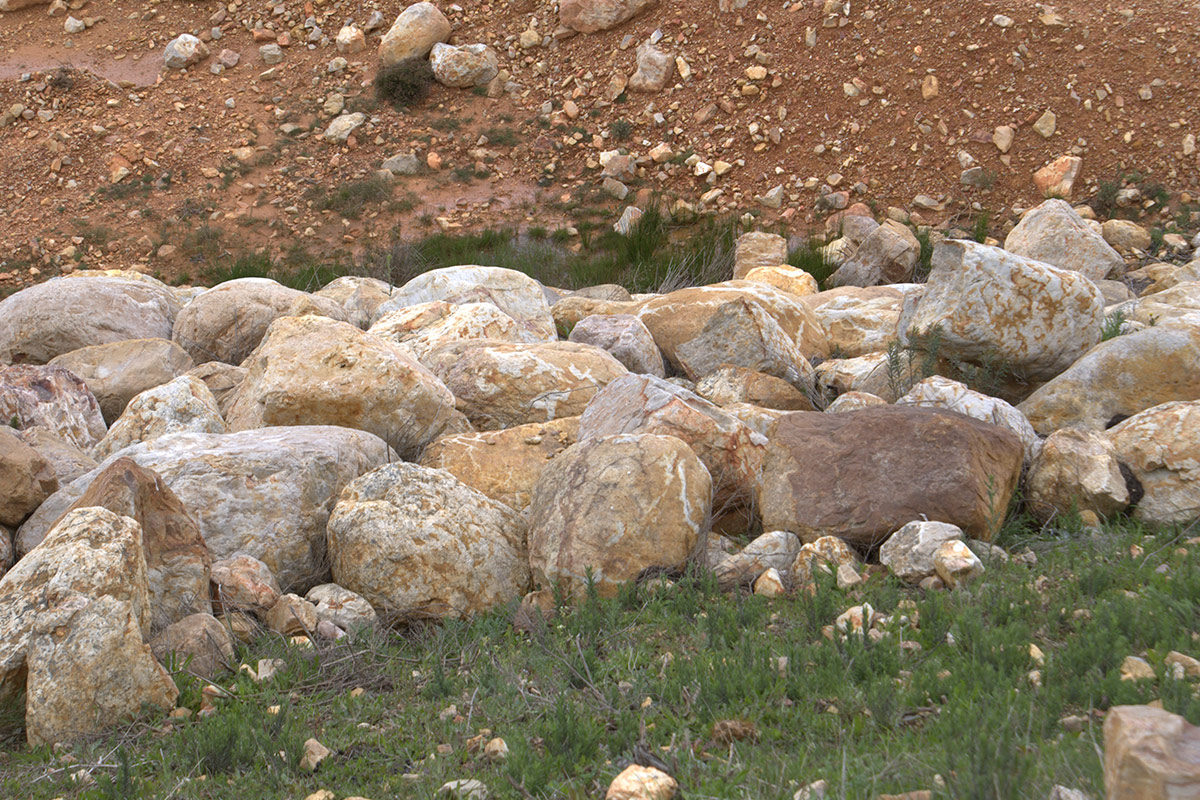
Nº05 – Rañas de Cañamero
LOCATION AND ACCESS These typical sedimentary platforms are to be found to the south of the pass of Puerto Llano along the road (EX-116) leading from Guadalupe to Villanueva de [...]
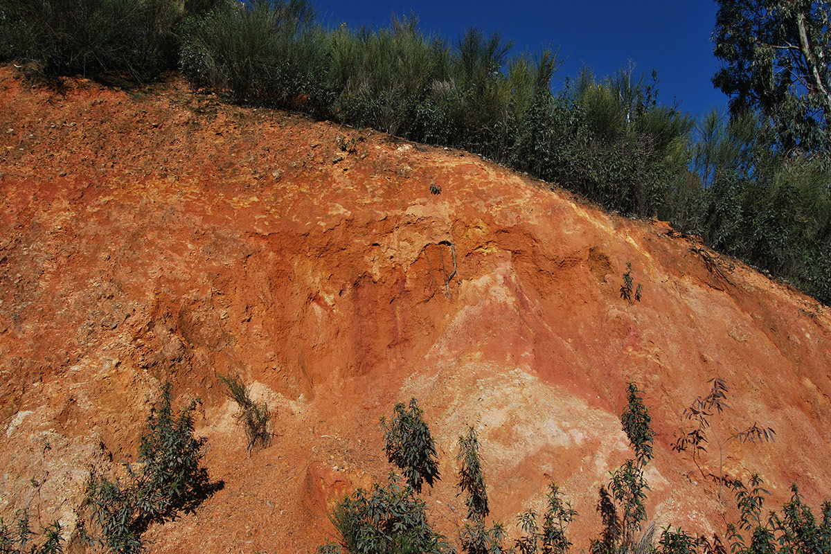
Nº06 -Puertollano Fault
LOCATION AND ACCESS The Puertollano fault is located between the towns of Cañamero and Guadalupe. It is easily reached by the EX-102 regional road at the junction with the EX-116 [...]
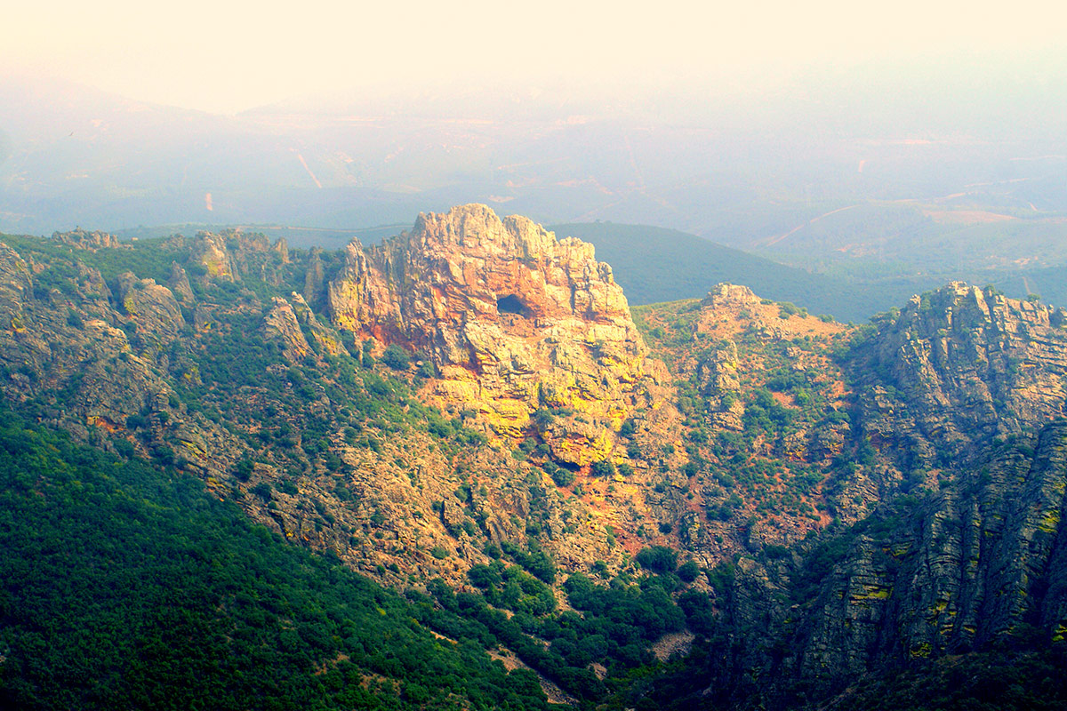
Nº07 – Estrecho de la Peña Amarilla
LOCATION AND ACCESS The Estrecho de la Peña Amarilla (Strait of the yellow crag) is located to the east of the town of Alía and can be reached via the [...]
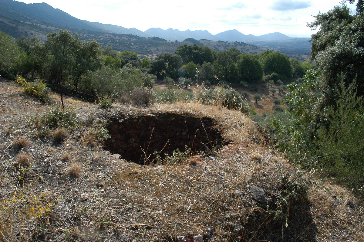
Nº08 – Hornos de la Calera Alía
LOCATION AND ACCESS La Calera is a hamlet of the village of Alía. It can be reached by a local road about 10 km north of the centre of Alía. [...]
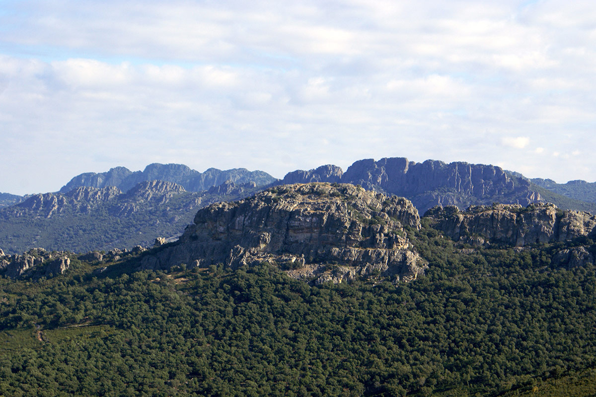
Nº09 – Cancho del Reloj
LOCATION AND ACCESS This geosite can be reached via the road that links the villages of Berzocana and Solana de Cabañas (CC-22.4). Then take the forest track that leads to [...]
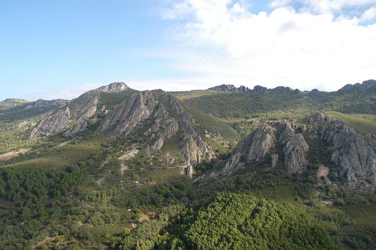
Nº10 – Canchos de las Sábanas rocky hills
LOCATION AND ACCESS The Canchos de las Sábanas are located to the east of the town of Berzocana, and can be reached by the road that connects this village with [...]
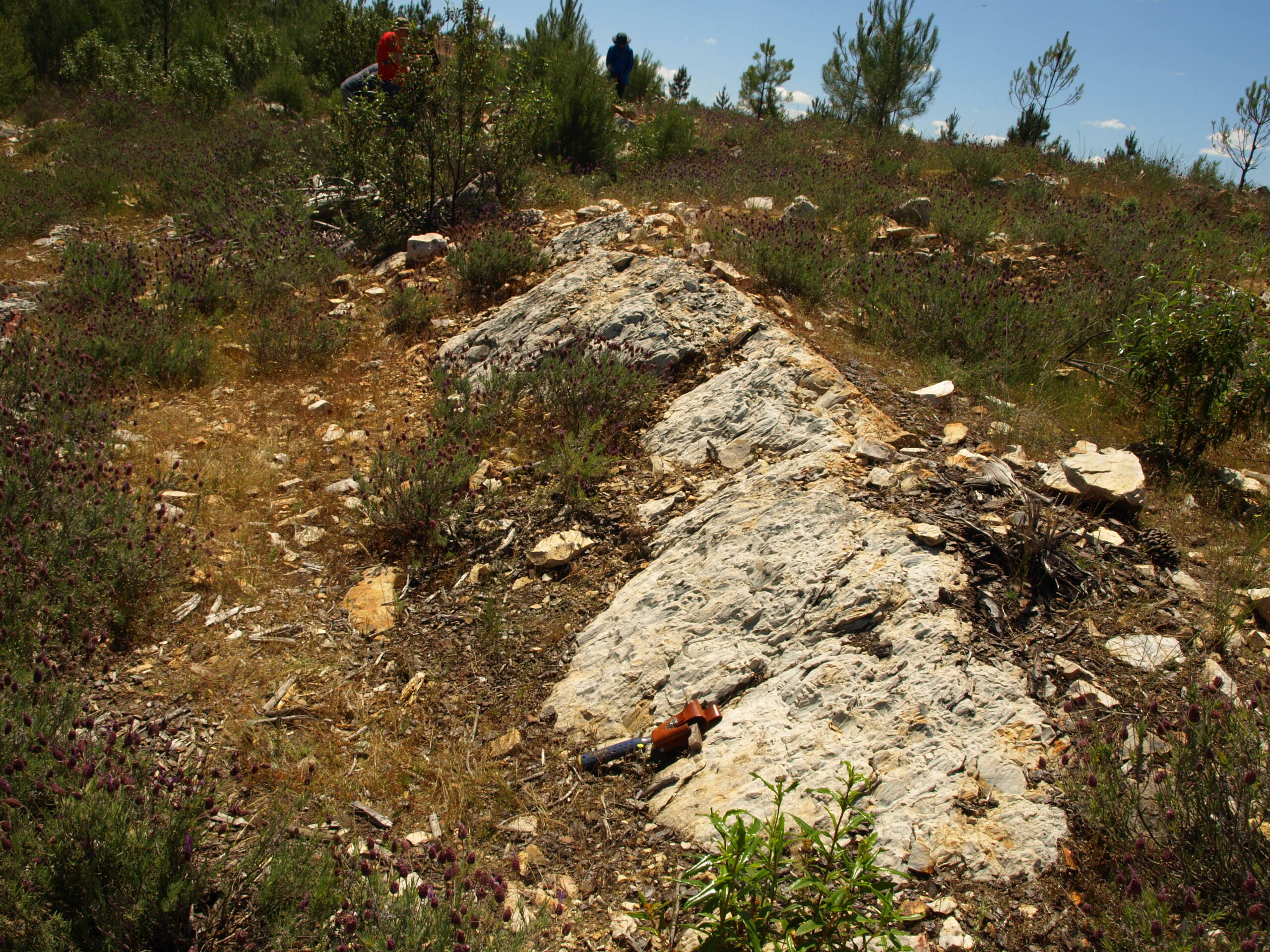
Nº11 – Headwaters of the River Almonte
LOCATION AND ACCESS The headwaters of the Almonte river are located on the north-western slope of La Villuerca, the highest area in the Geopark, emerging from a large talus slope [...]
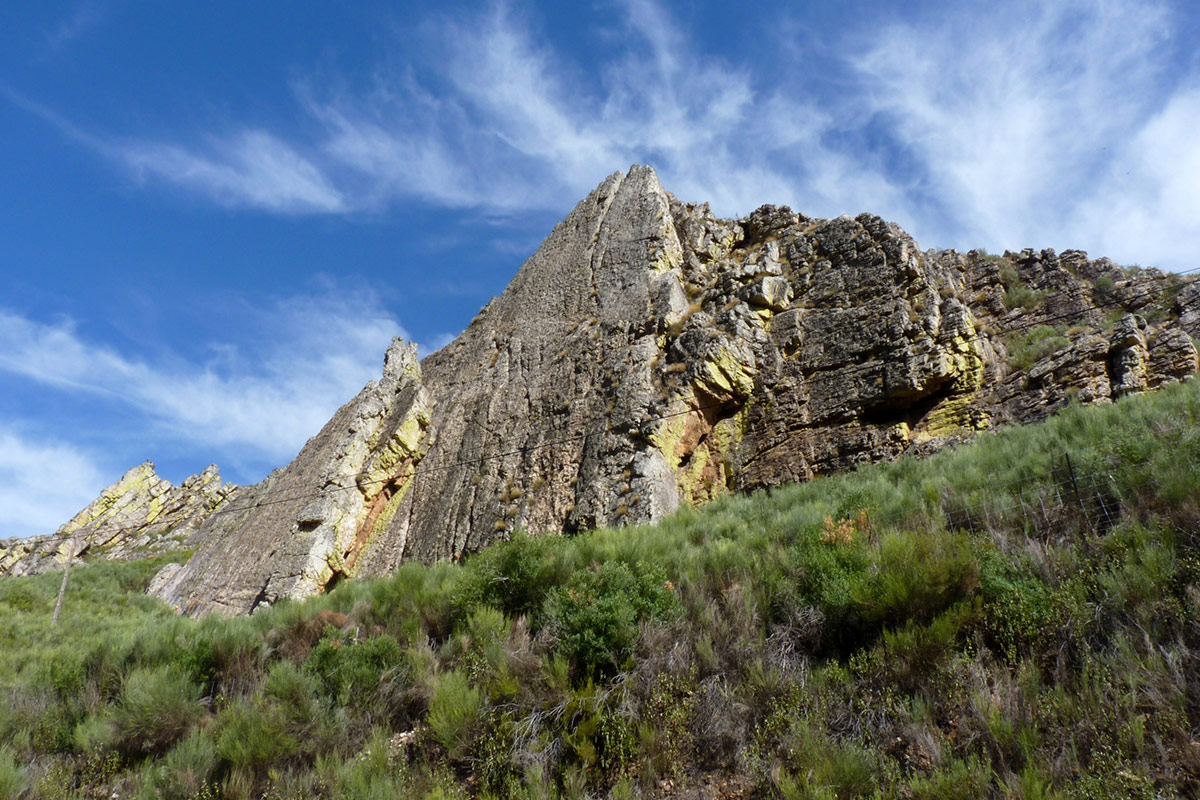
Nº12 – Ruecas River Defile
LOCATION AND ACCESS The Ruecas river flows for about two kilometres to the north-east of the village of Cañamero, through a deep gorge flanked by the high quartzite crests of [...]
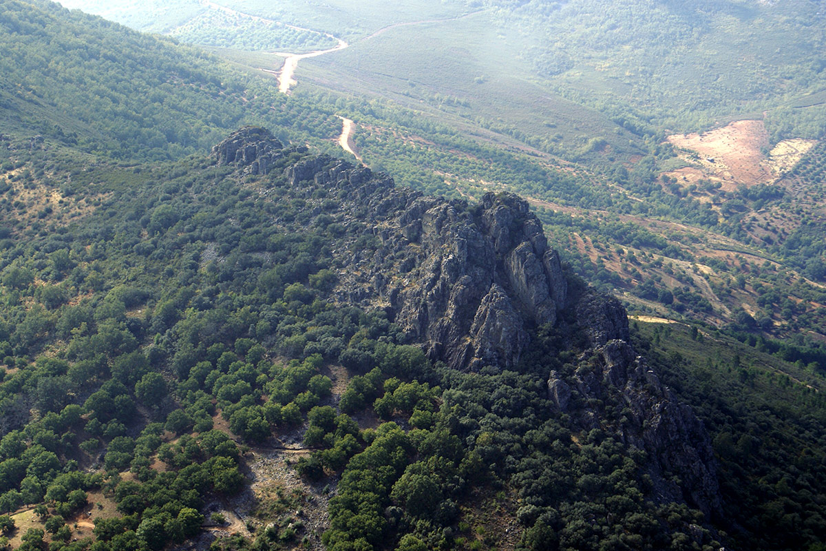
Nº13 – Collado del Brazo
LOCATION AND ACCESS The Collado del Brazo is a col/saddle between the sierras, used for the old trails and modern roads to enter one of the wildest parts of the [...]
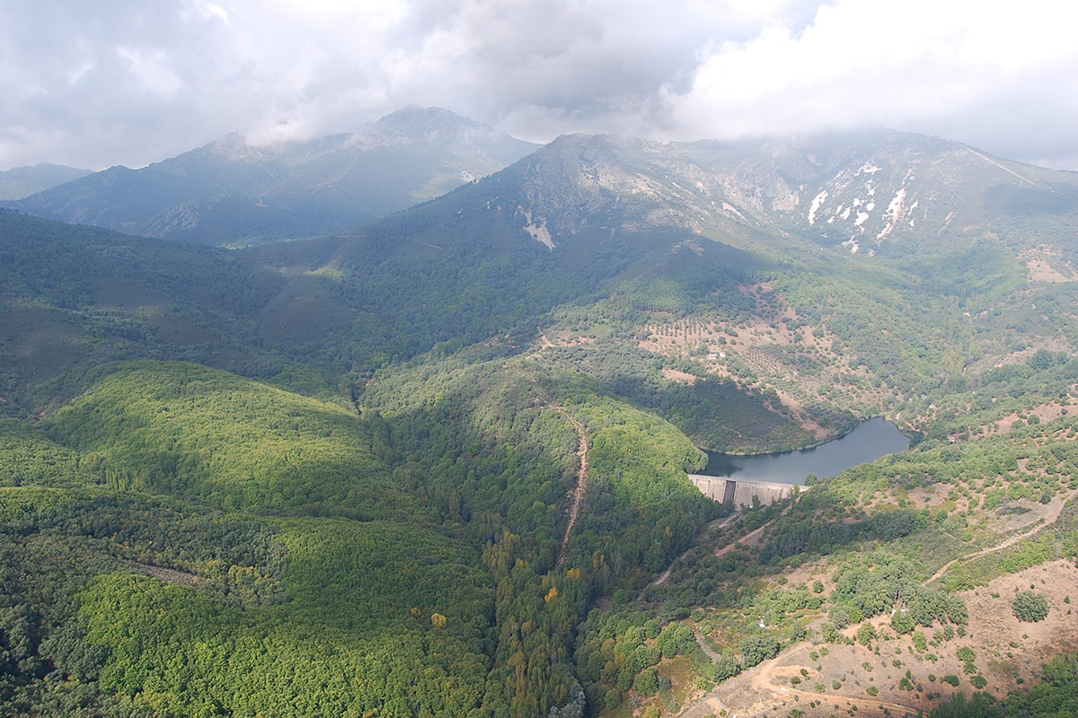
Nº14 – Guadalupe River and Ravine of Valdegracia
LOCATION AND ACCESS To get to the upper course of the Guadalupe river, take a forest track that leaves from the old EX 380 road, in a sharp bend, behind [...]
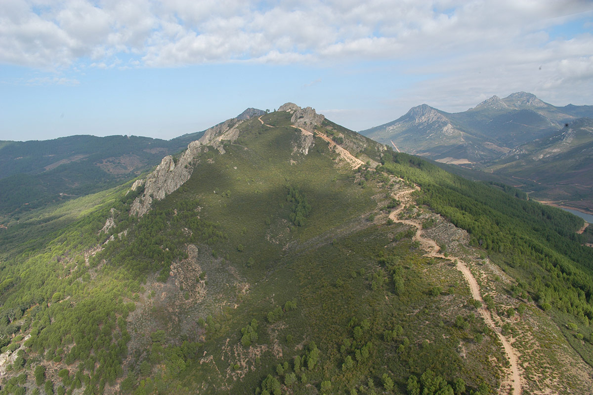
Nº16 – Sierra de la Madrila
LOCATION AND ACCESS The Sierra de la Madrila is located to the north of the village of Cañamero and is easily accessible by car on the road from Cañamero to [...]
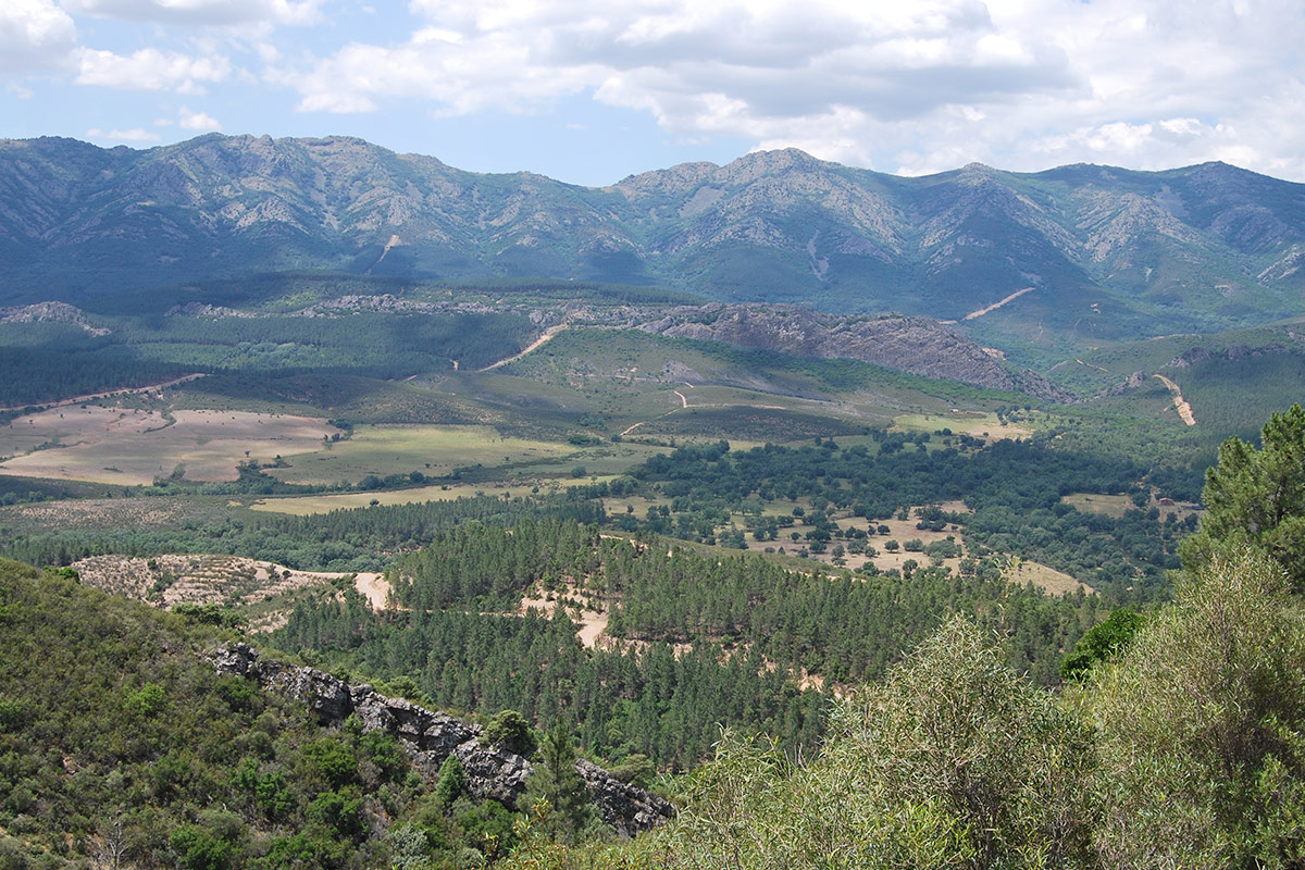
Nº17 – Guadarranque-Gualija Syncline
LOCATION AND ACCESS The great Guadarranque syncline extends some sixty kilometres within the Geopark, from the Valdecañas reservoir on the Tagus river to the Cijara reservoir on the Guadiana river. [...]
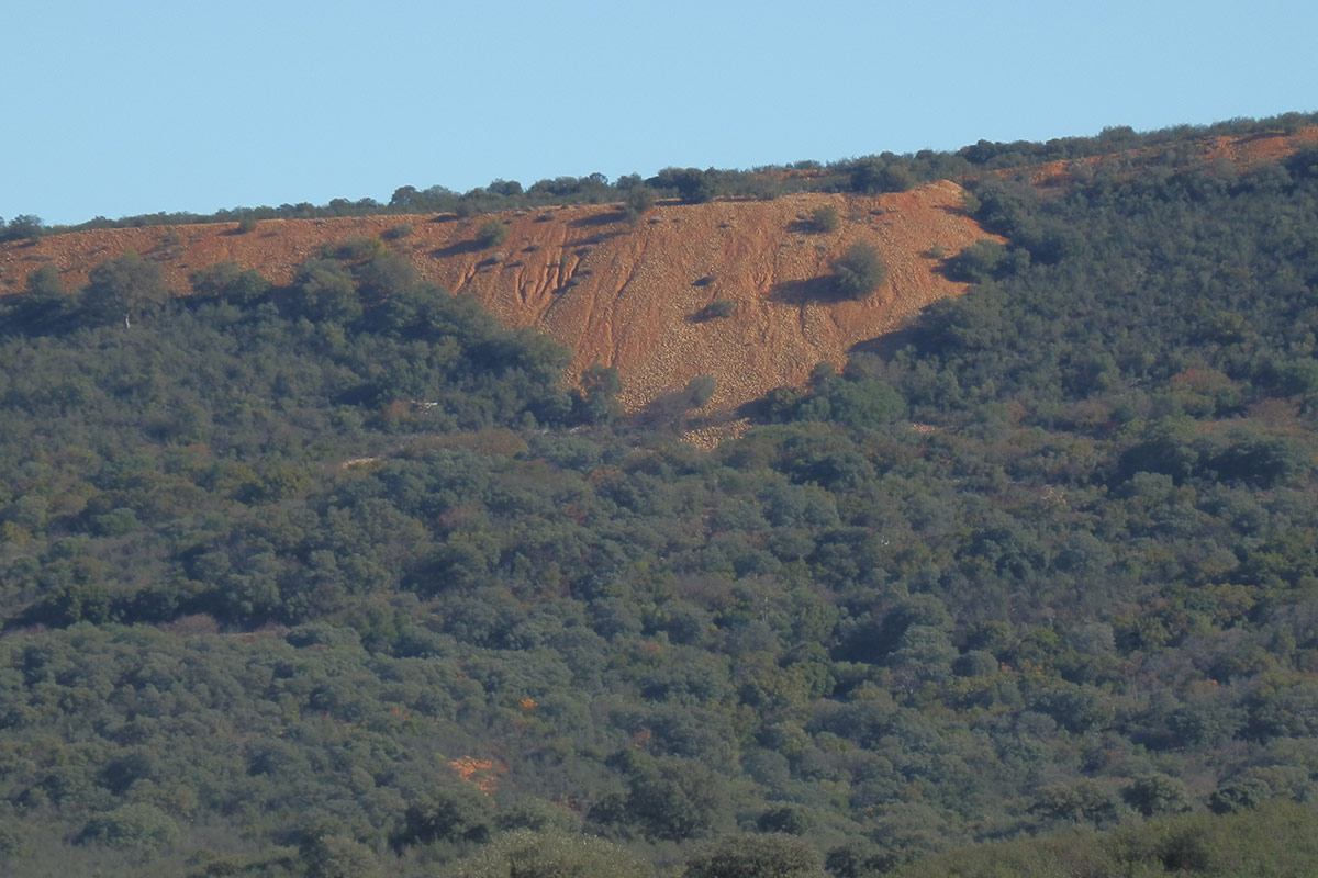
Nº19 – Raña de las Mesillas
LOCATION AND ACCESS The raña de Las Mesillas stretches along both sides of the EX-118 road, to the north of the village of Castañar de Ibor, approximately between kilometres 43 [...]
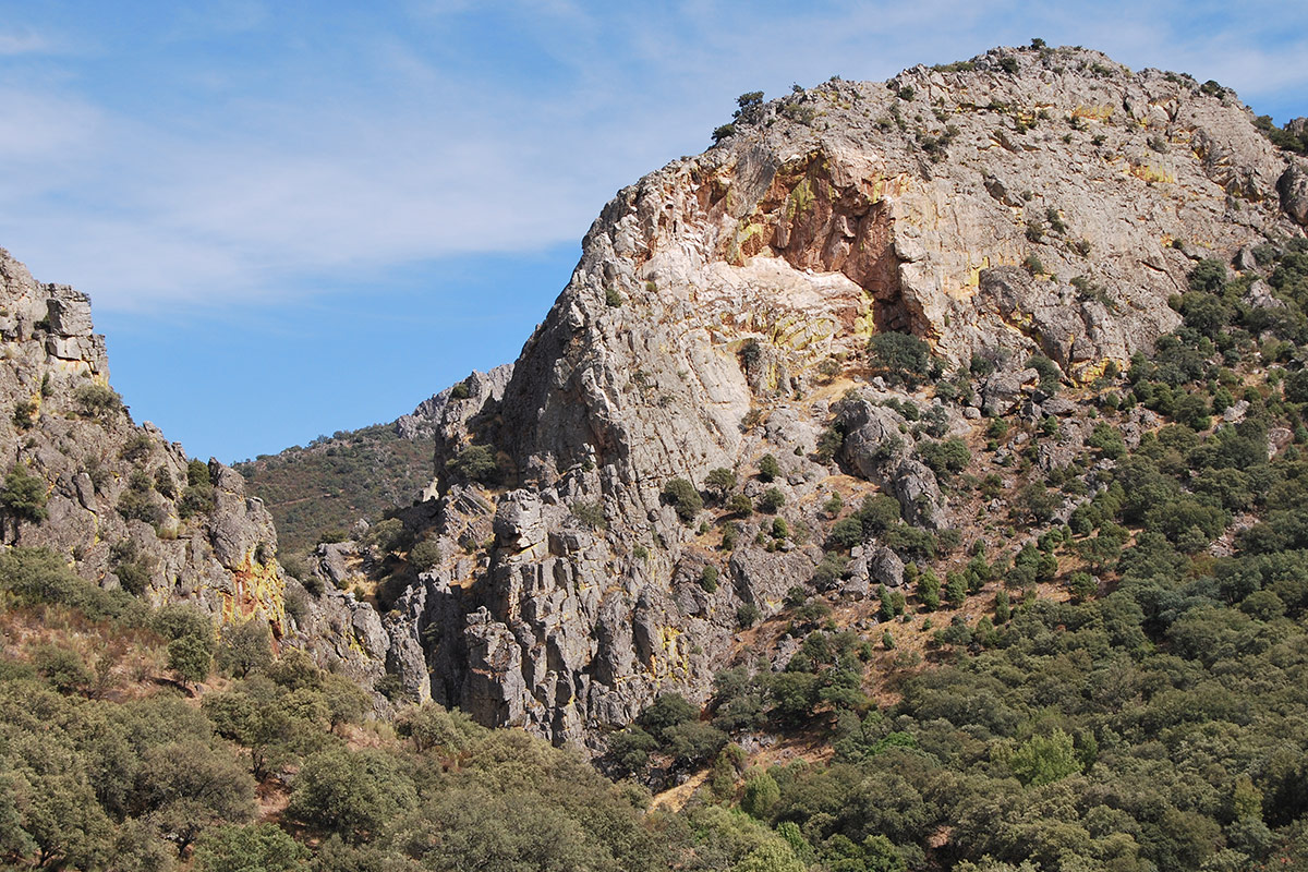
Nº20 – Apreturas del Almonte
LOCATION AND ACCESS Las Apreturas del Almonte or Portilla del Almonte is one of the most spectacular places in the Villuercas mountain range. It is a fluvial gorge that has [...]
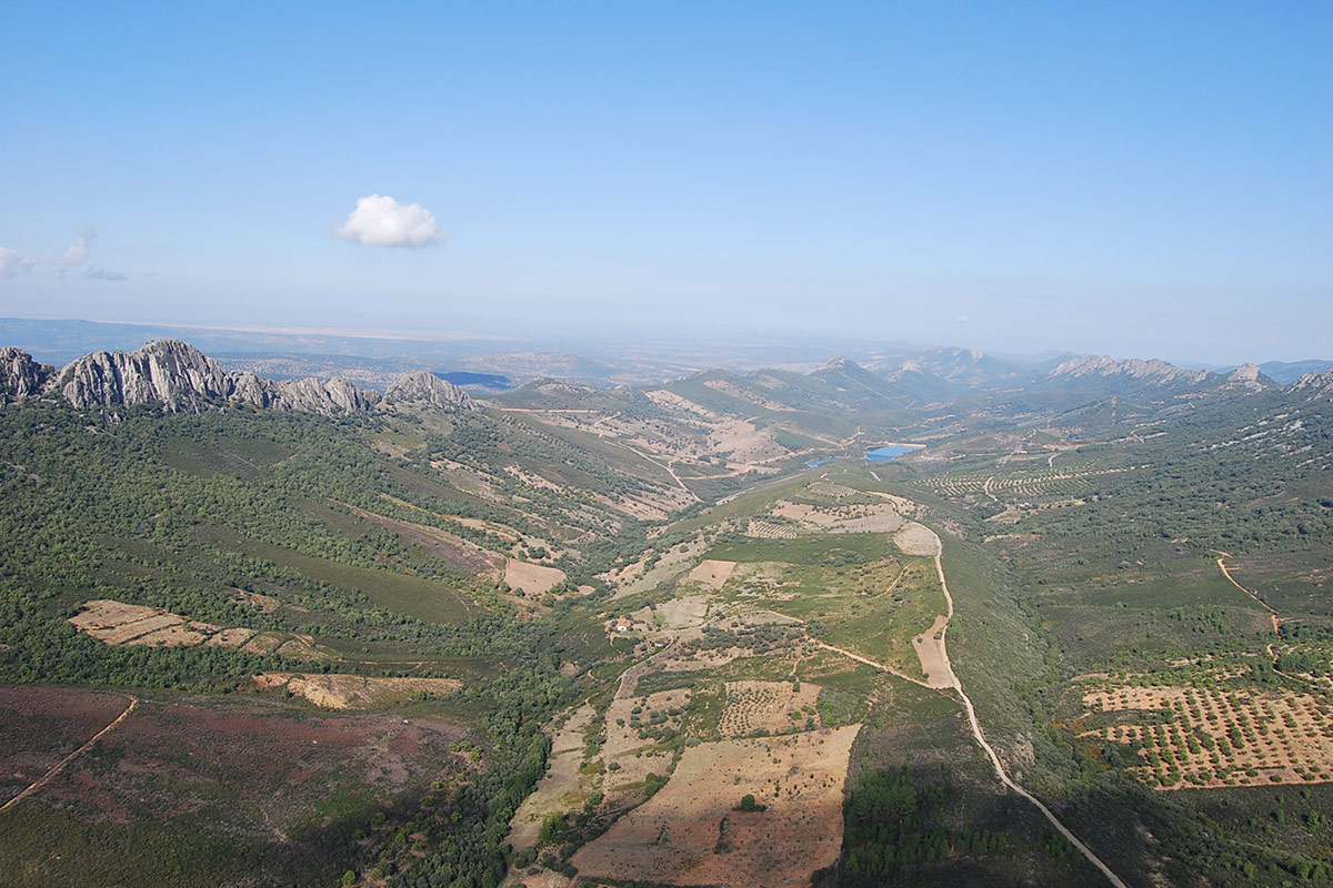
Nº21 – Santa Lucía-Río Ruecas Syncline
LOCATION AND ACCESS The Cabañas del Castillo village is an excellent viewpoint from which to observe this syncline and the Appalachian relief of the region. We will observe the geomorphology [...]
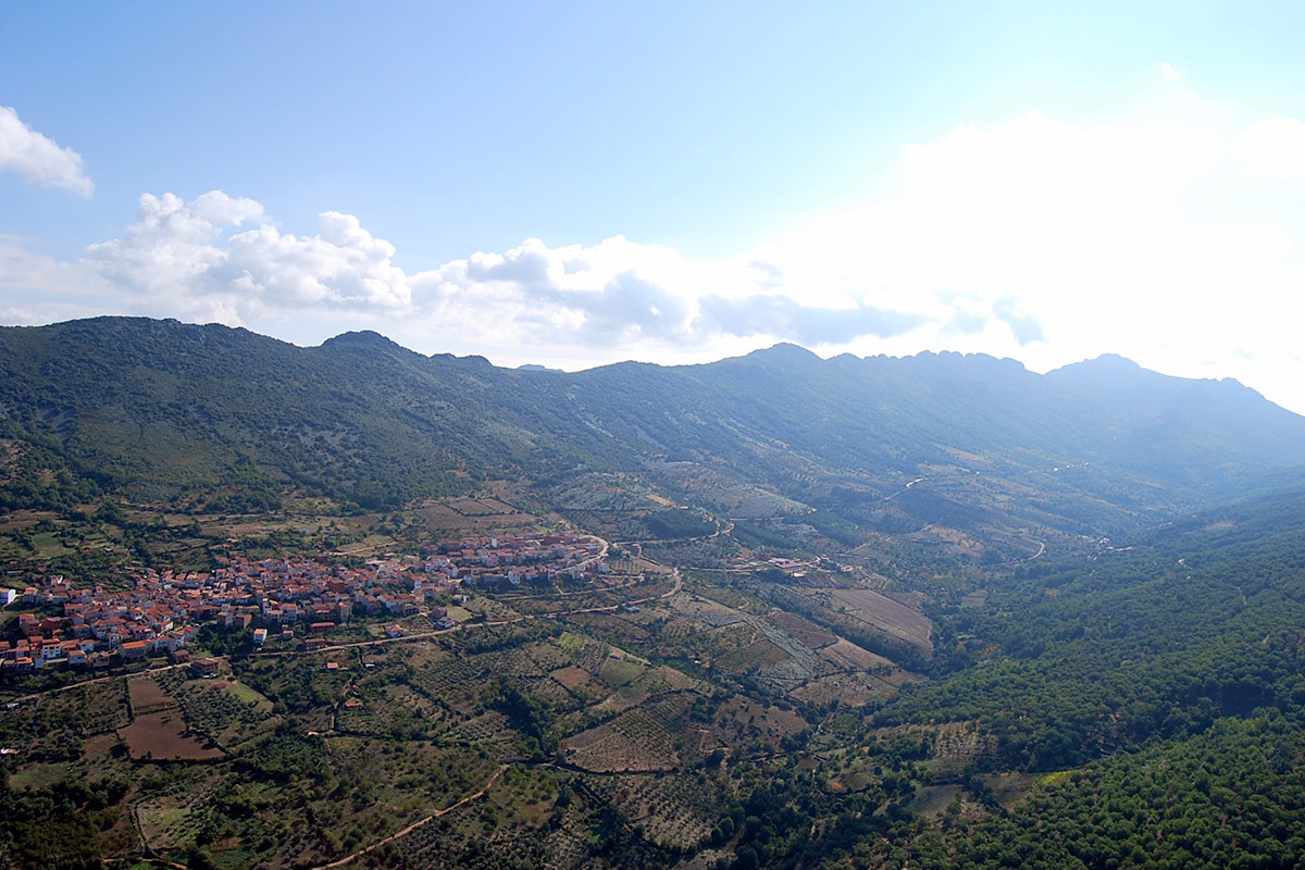
Nº22 – River Almonte Anticline
LOCATION AND ACCESS The Río Almonte anticline extends from the basin of the Tagus river, which limits it to the north, to the southern base of the Risco de La [...]
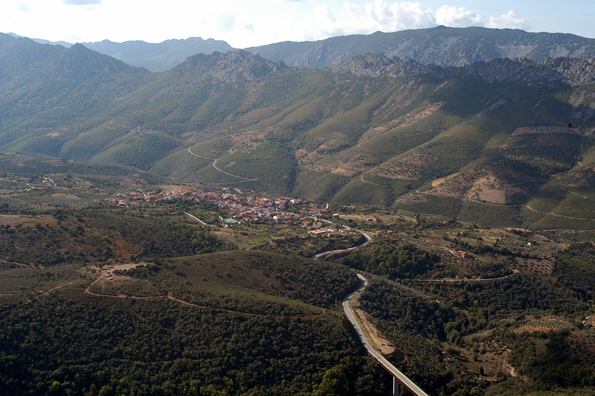
Nº23 – Ibor-Guadalupe Anticline
LOCATION AND ACCESS The Ibor anticline is located in the central part of Las Villuercas, occupying two wide valleys through which run the Ibor river, towards the Tagus river, and [...]
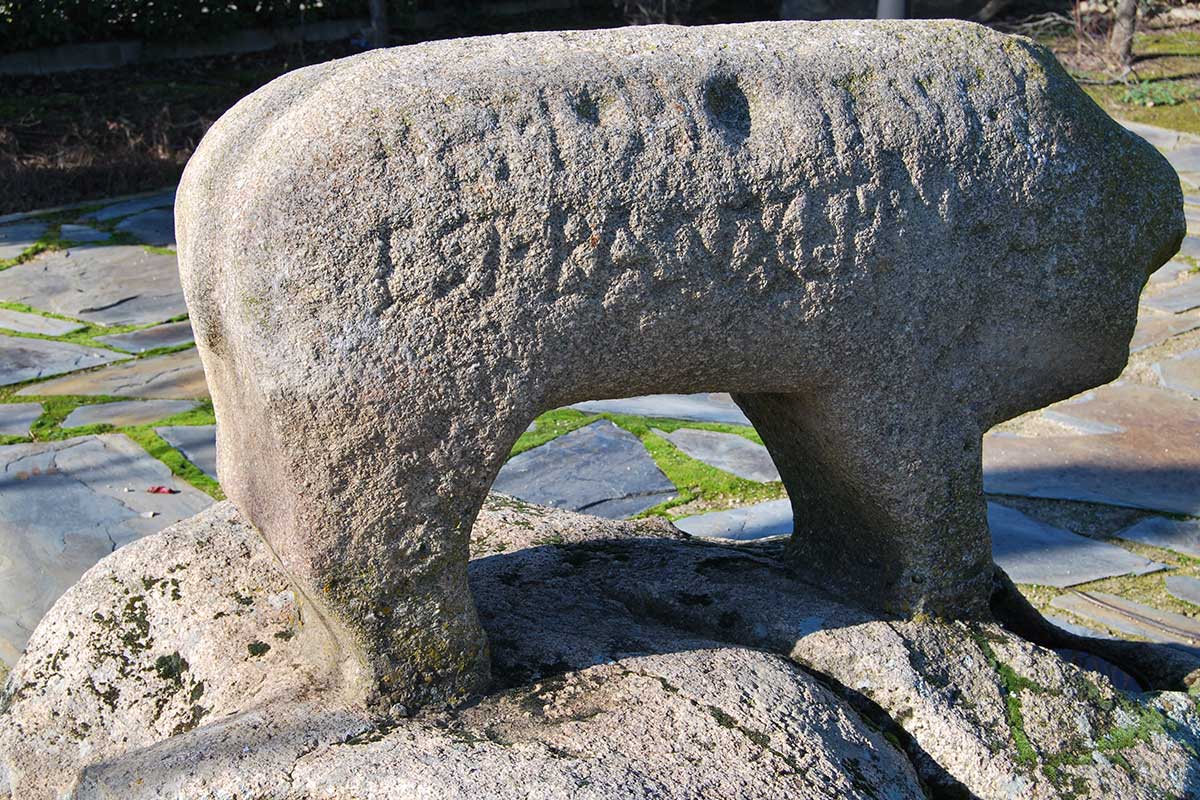
Nº24 – Valdelacasa Anticline
LOCATION AND ACCESS The Valdelacasa anticlinorium stretches across the provinces of Cáceres, Toledo and Ciudad Real, and is part of the region known as La Jara, located to the east [...]
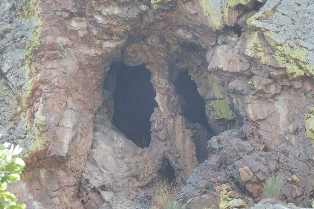
No. 25. ESPEJO DE FALLA – CANCHO DE LAS NARICES (Cancho de las Narices slickenside)
LOCATION AND ACCESS This geosite is located on the road between Castañar de Ibor and Robledollano, approximately halfway between the two localities. The slickenside (or fault mirror) is located in [...]
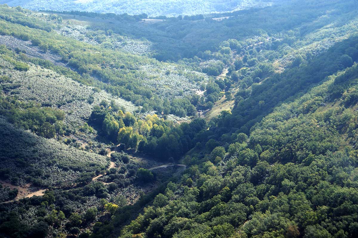
Nº26 – Peat Bogs of the Hospital del Obispo
LOCATION AND ACCESS Access to the Hospital del Obispo (Obispo hospital) is via the CC-20 road, which joins Guadalupe with Navatrasiera and leaves the road from Guadalupe to Navalmoral de [...]
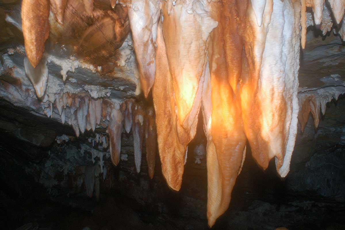
Nº27 – Castañar Cave
LOCATION AND ACCESS The cave is located on the road from Castañar de Ibor to the campsite and passes by the Castañar Cave Interpretation Centre. To access the cave, take [...]
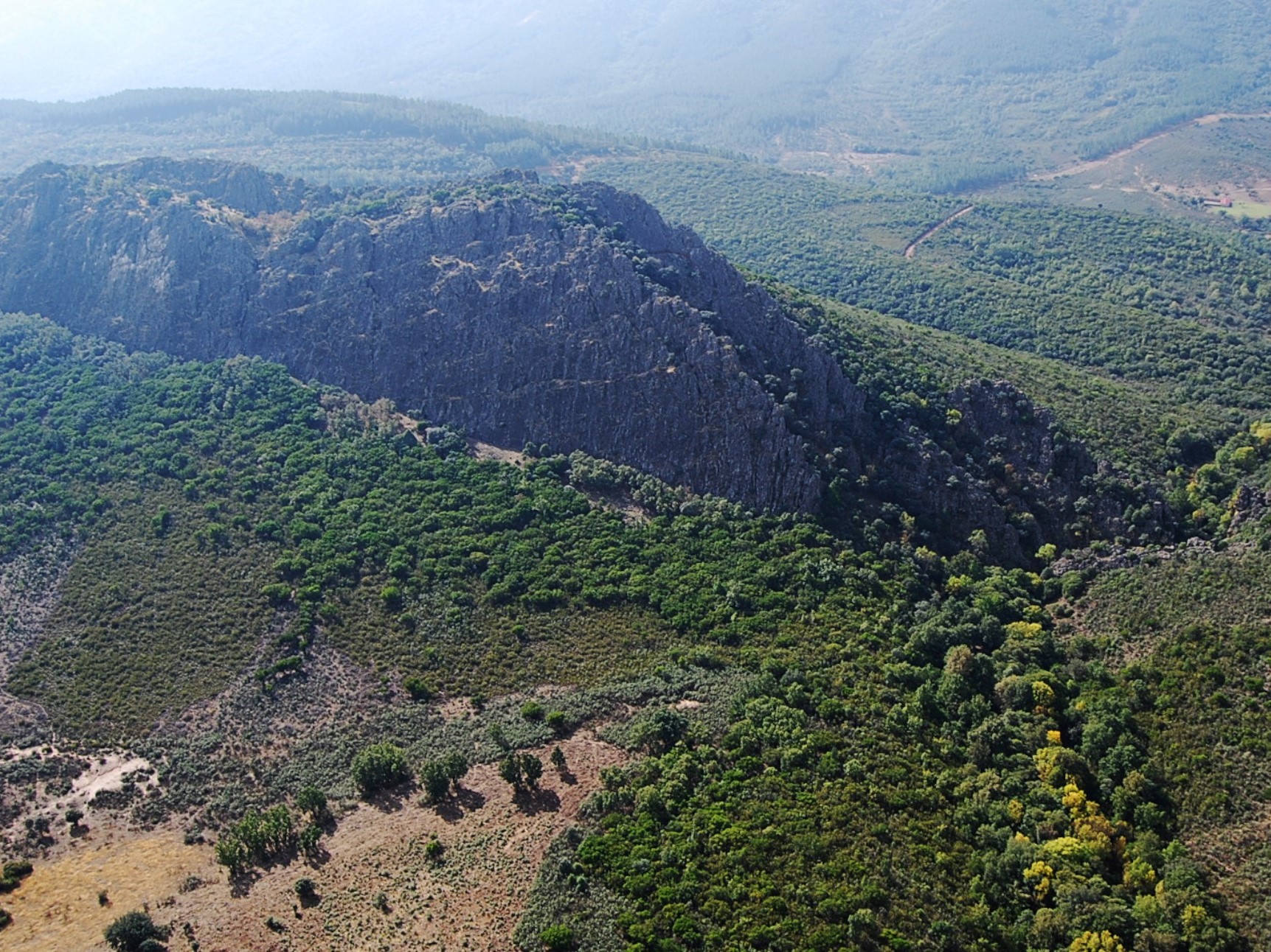
Nº28 – La Trucha Crags
LOCATION AND ACCESS Along the axis of the extensive Guadarranque syncline runs a forest track that connects the EX-102 road, between Alía and Puerto de San Vicente, with the town [...]
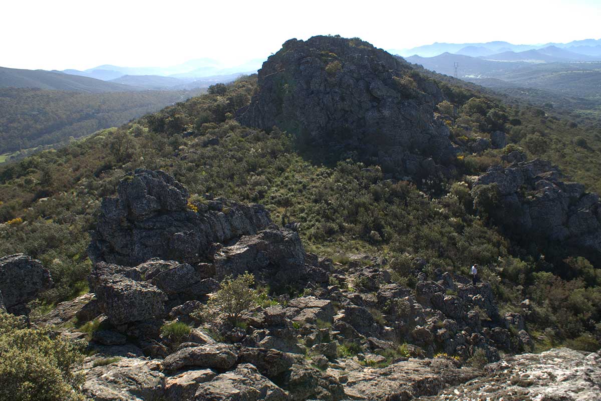
Nº29 – Fracture System of the Sierra de La Breña
LOCATION AND ACCESS On the EX-386 road, from Deleitosa towards the A-5 motorway, just at the exit of the village (kilometre point 9.5) a road called Camino de Romangordo, which [...]
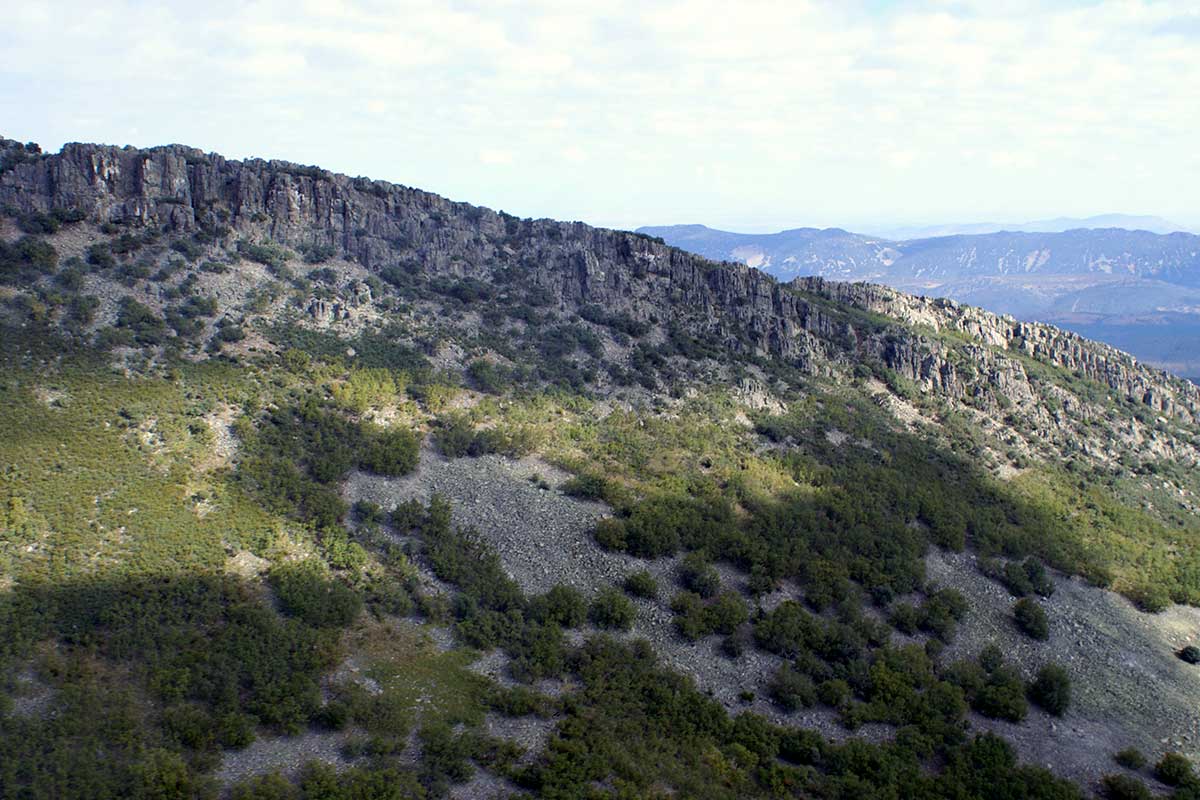
Nº30 – Canchos del Ataque
LOCATION AND ACCESS At km 36.5 on the CC-20 road from Guadalupe to Navatrasierra, about 2 km from the historic Hospital del Obispo, we can observe on our left a [...]

Nº31 – Chorrera del Calabazas
LOCATION AND ACCESS The Chorrera del Calabazas can be reached from the town of Castañar de Ibor, where the EX-118 road that links Guadalupe with Navalmoral de la Mata takes [...]
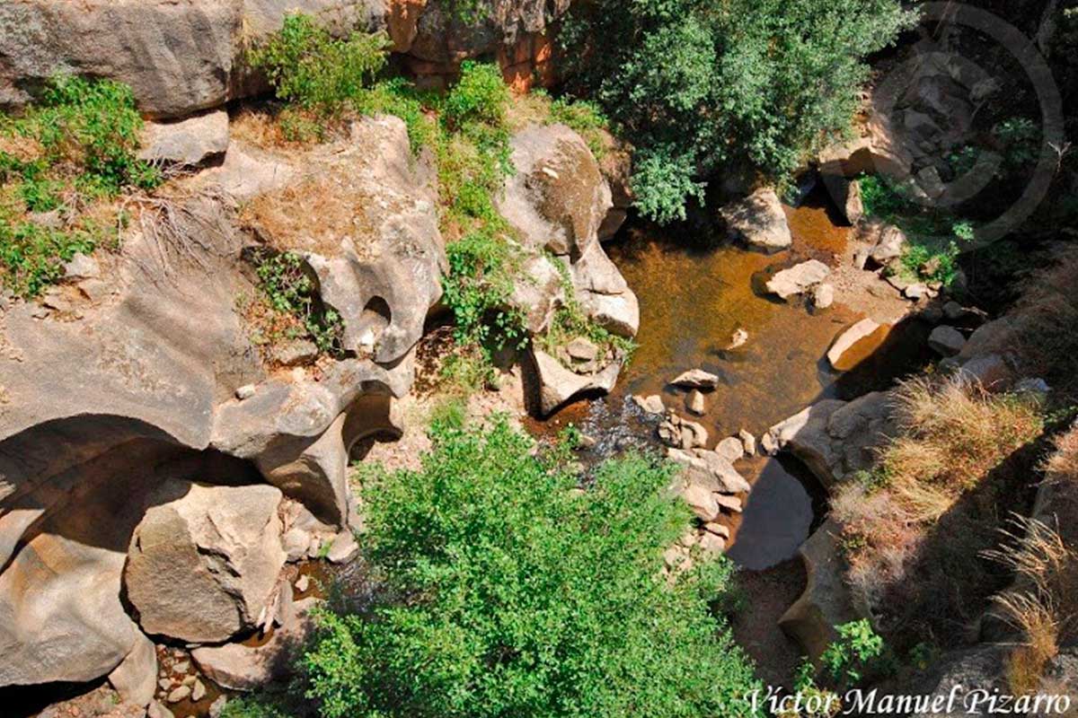
Nº32 – Potholes Bohonal
LOCATION AND ACCESSIBILITY This geosite is located on the northern boundary of the Geopark, in the Ibor river near its mouth in the river Tagus river. It is easily accessible [...]
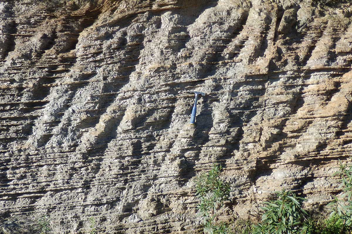
Nº33 – Metamorphic Contact
LOCATION AND ACCESS At km 46.2 on the EX-118 road, take the local road CC-79 towards Fresnedoso de Ibor. At around km 2.2 you will find yourself in the area [...]
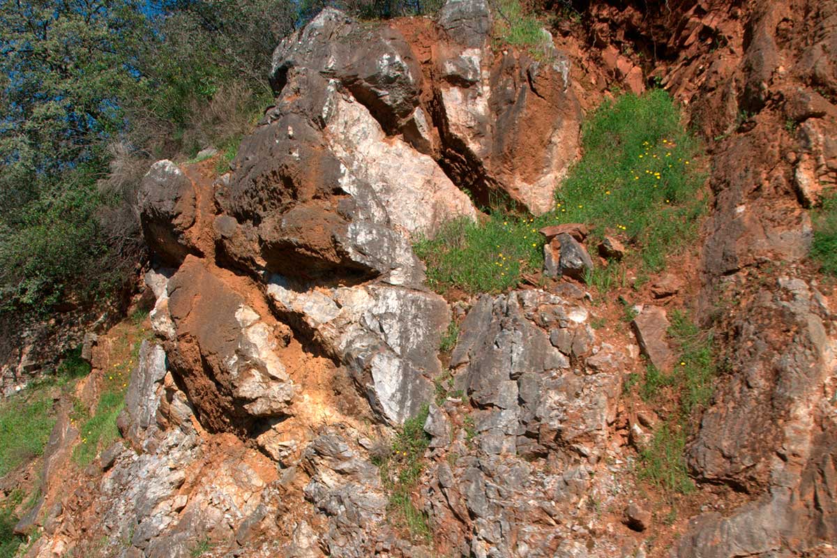
Nº35 – Magnesites of Navalvillar
LOCATION AND ACCESS The best outcrops of dolomitic limestones with magnesites are located on the national road from Navalmoral de la Mata to Guadalupe (EX-118), about 2 km north of [...]
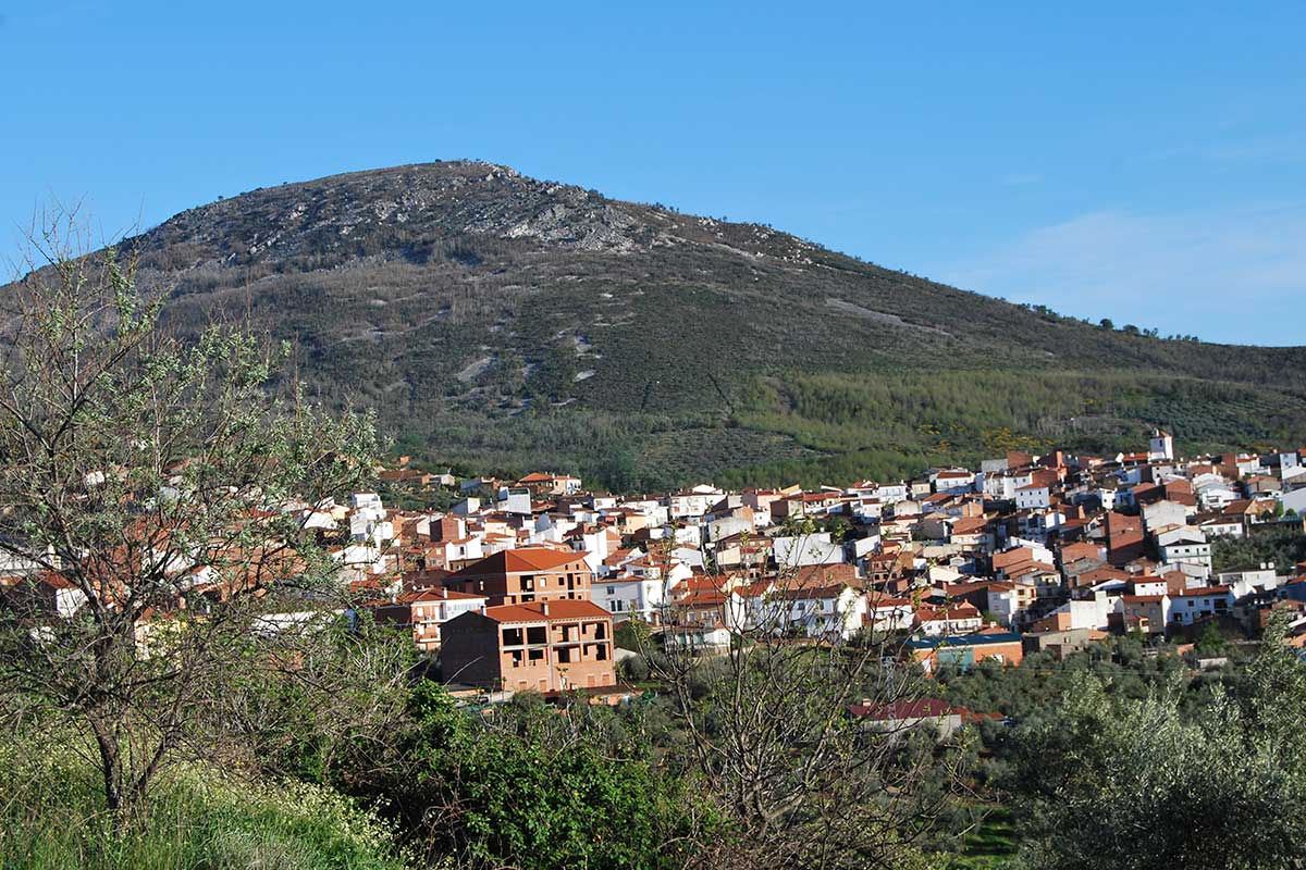
Nº36 – Camorro de Castañar
LOCATION AND ACCESS Towards the southeast of the town of Castañar de Ibor and from the EX-118 road, the path that runs through the Garganta de las Calabazas (pumpkin gorge) [...]
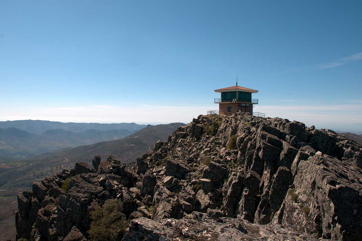
Nº37 – Risco Carbonero
LOCATION AND ACCESS Risco Carbonero can be reached from the CC-20 road that links Guadalupe with the village of Navatrasierra. At km 34.5, a forest track on the right hand [...]
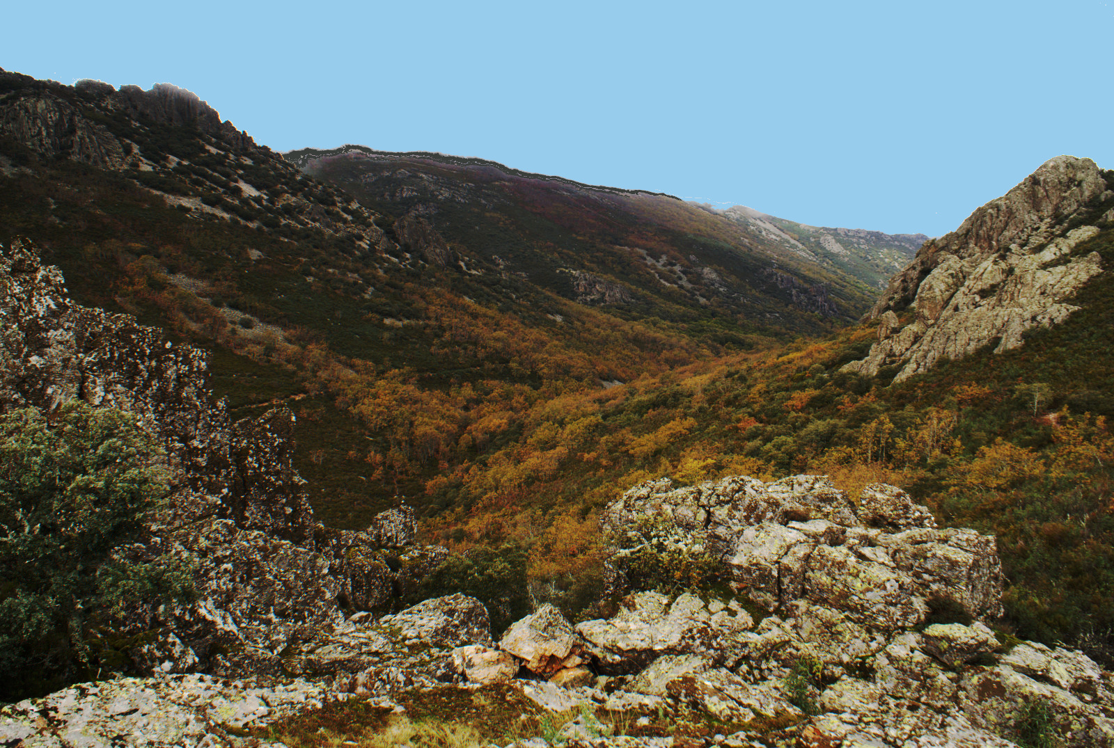
Nº38 – Syncline Viejas – Torneros
LOCATION AND ACCESS This syncline runs through the Geopark from Collado del Pozo de la Nieve to Campillo de Deleitosa. It is crossed in the southeast by the Viejas river [...]
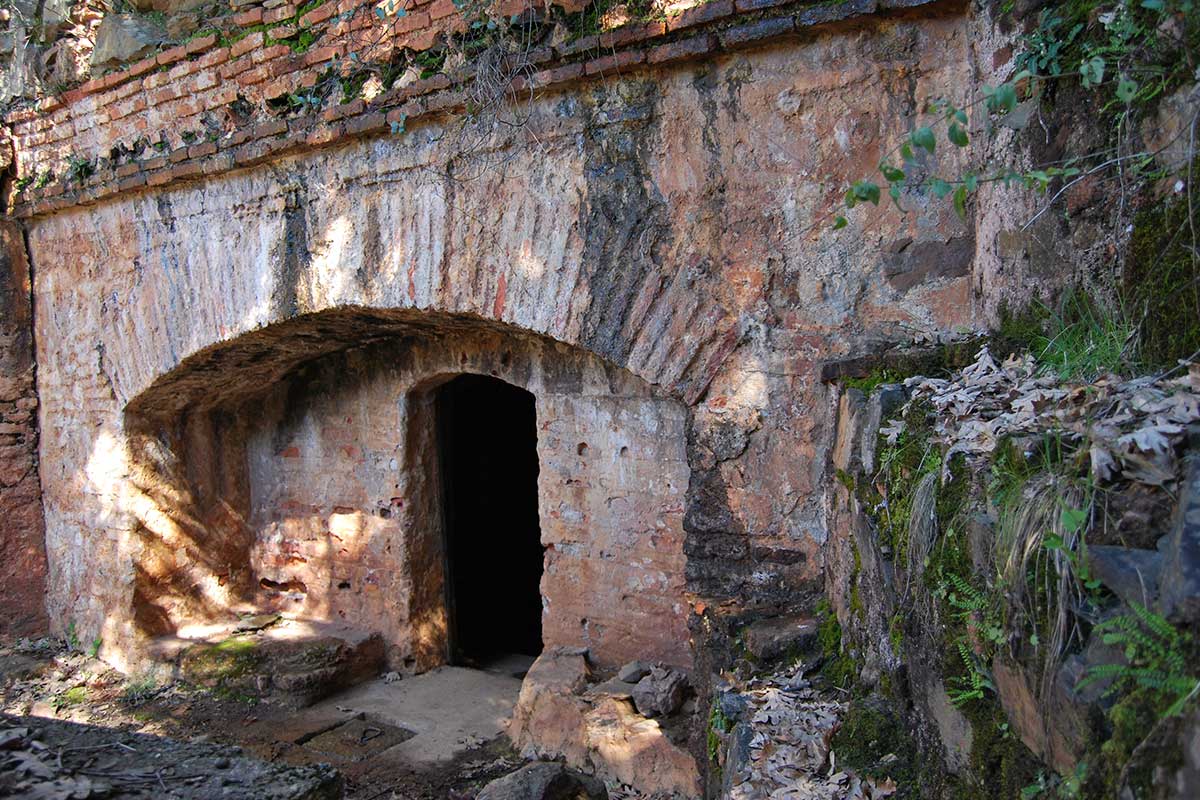
Nº41 – Mines of the Arca del Agua
LOCATION AND ACCESS This seven-century-old hydraulic work is located about 6 km. from the town of Guadalupe. It can be reached by the road from Guadalupe to Navalmoral de la [...]
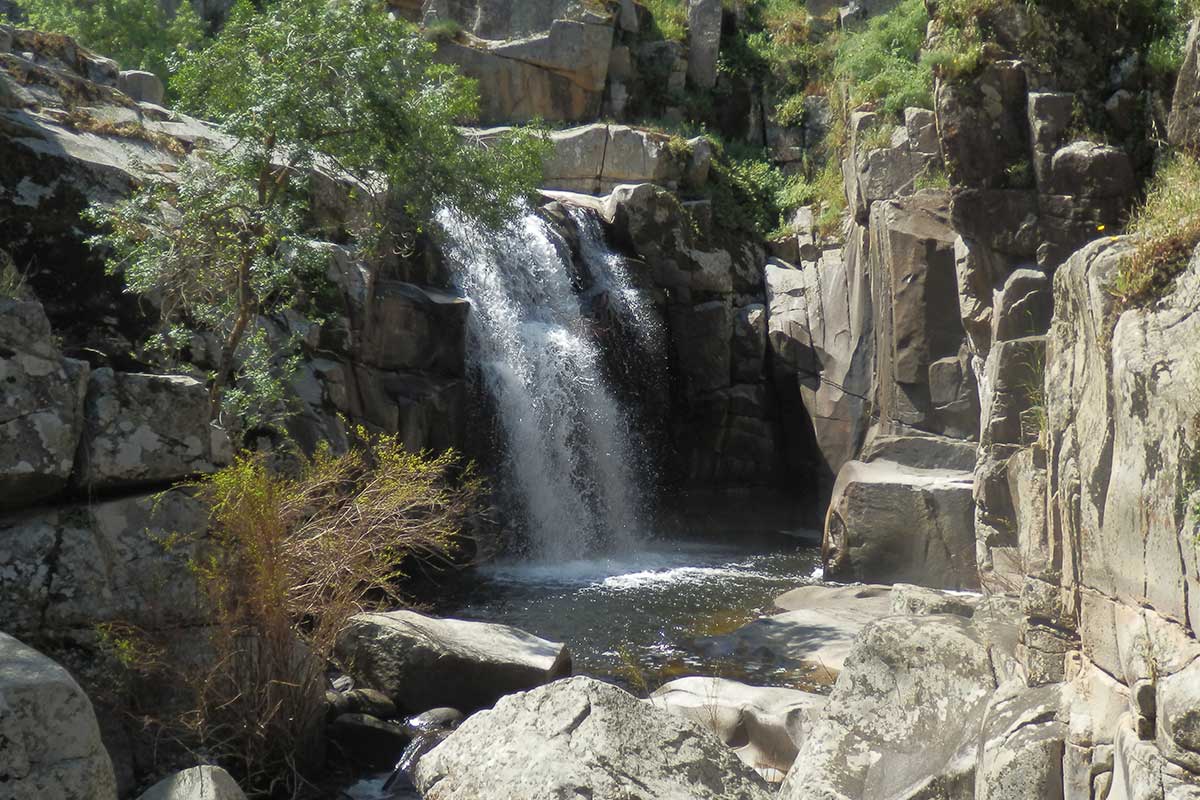
No. 42. DESFILADERO DEL PEDROSO (Pedroso defile/narrow gorge)
LOCATION AND ACCESS You enter the village of Villar del Pedroso via the Puente del Arzobispo bridge, take a path on the right, immediately after passing the bridge over the [...]
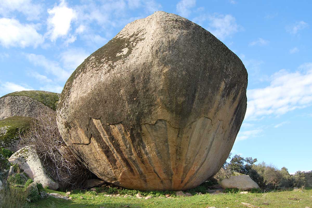
Nº43 – Berrocal de peraleda and Cancho Valdecastillo
LOCATION AND ACCESS The Peraleda de San Román berrocal (rocky outcrop) stretches from the river Gualija river, in the west, to the vicinity of Valdelacasa de Tajo, in the east. [...]
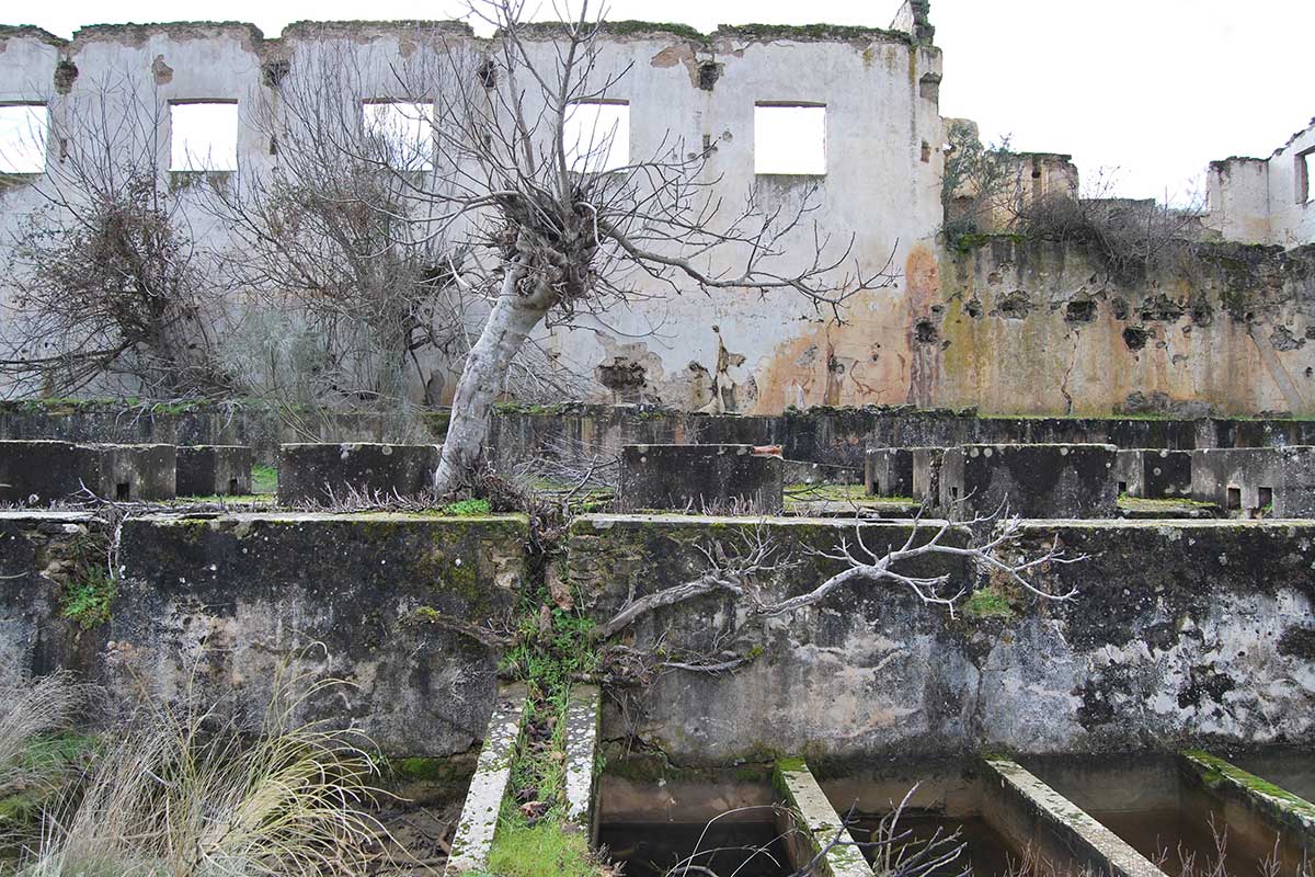
Nº44 – Valle de Gualija: San Román and Marialina Mine
LOCATION AND ACCESS The Gualija river begins near the village of Navatrasierra, in the middle of the Guadarranque syncline, and flows northwest until it flows into the river Tagus, today [...]
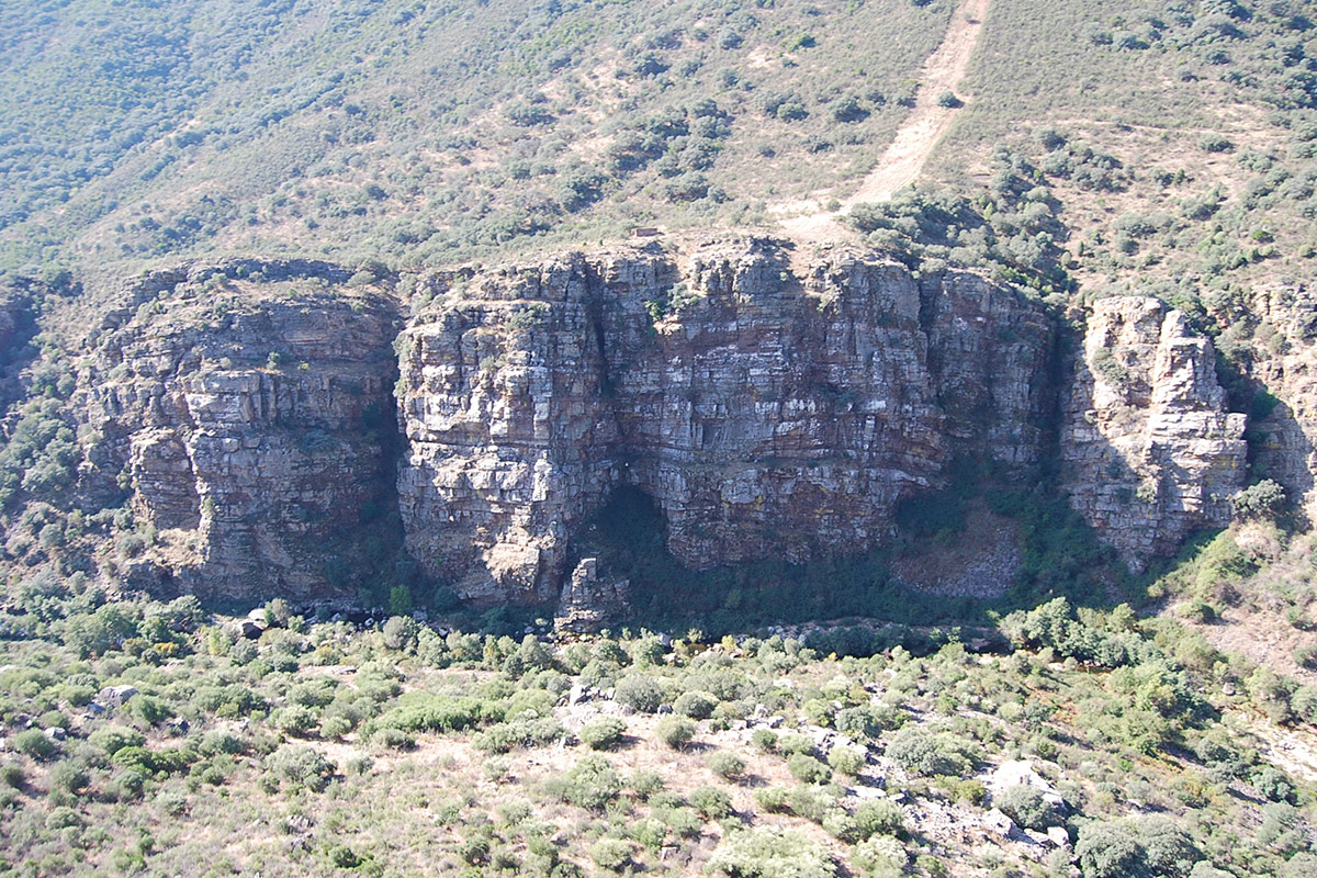
Nº45 – Crags of Vadillo Peraleda de San Román
LOCATION AND ACCESS The Canchos del Vadillo are located on the left bank of the deep valley of the Gualija river as it passes between the Armorican Quartzite and the [...]