The Villuercas-Ibores-Jara UNESCO Global Geopark awaits you in the east of the province of Cáceres, in Extremadura—a land of mountain ranges, valleys, charming villages, and landscapes that tell a story spanning millions of years.
Plan your visit.
The Villuercas-Ibores-Jara Geopark is not a single, enclosed site with one entrance; rather, it is a vast territory comprising 19 municipalities. For this reason, we recommend choosing your entry point based on the places you wish to visit and checking your route before you set off.
If you need guidance in organizing your trip, you can stop by the Geopark’s Visitor Reception Center in Cañamero. There, you can gather information to help you discover its geosites, trails, natural and cultural heritage, and everything else that makes this territory such an extraordinary place.
The journey begins the moment you set out. We look forward to welcoming you to Villuercas-Ibores-Jara!
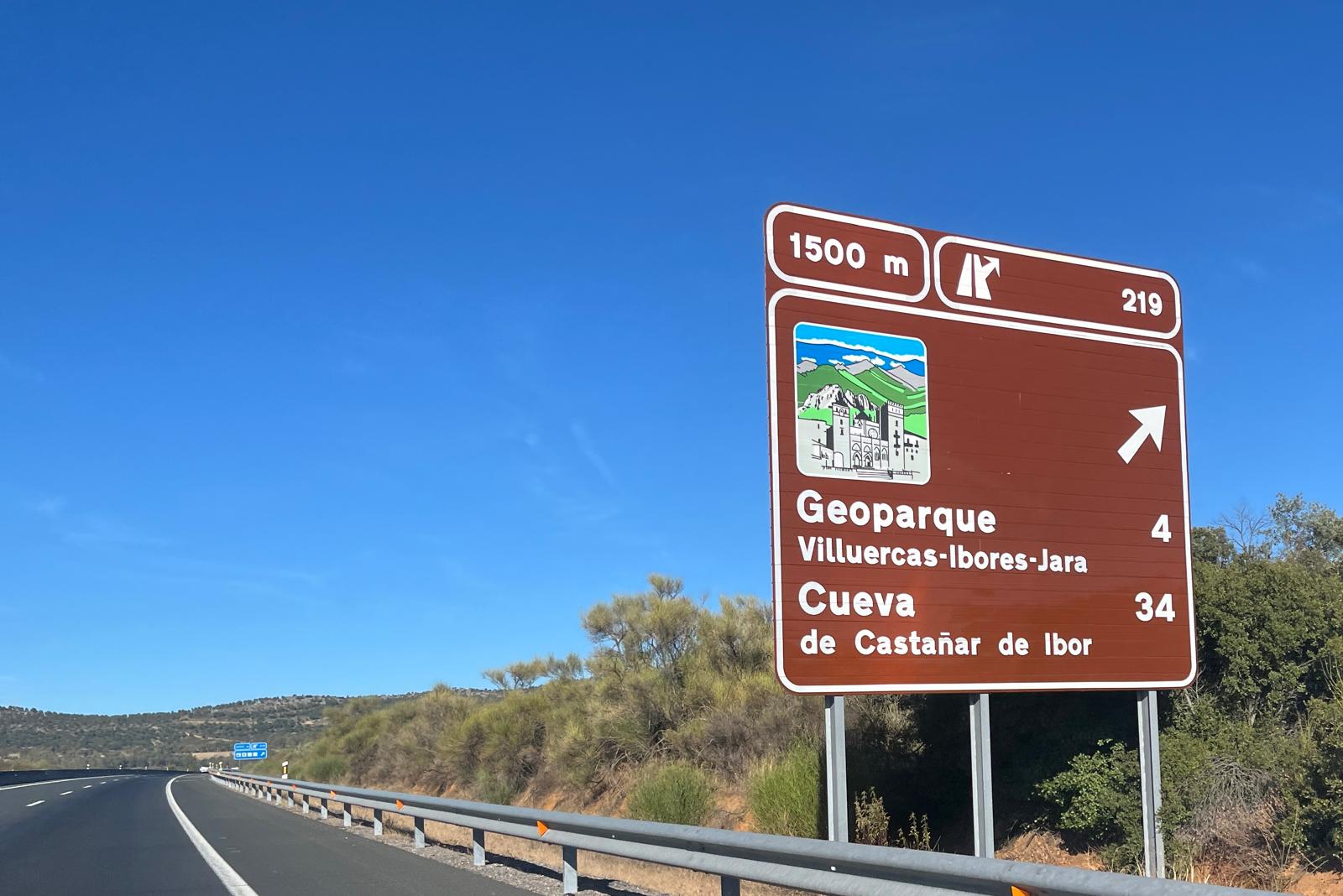
Traveling by car? Hit the road and head our way!
Getting here is easier than you might think. Whether you are arriving from Madrid, Trujillo, Don Benito, or Herrera del Duque, there are several routes you can take to reach this unique destination and begin discovering everything it has to offer.
From Madrid
The most direct route by car is to take the A-5 motorway toward Badajoz. One of the best options is to take exit 178 near Navalmoral de la Mata, then continue onto the EX-118 toward Guadalupe, entering the Geopark region via the Ibor River valley.
Alternatively, you can stay on the A-5 until exit 253 (at Trujillo) and follow the signs for Guadalupe along the EX-102, passing through Logrosán and Cañamero.
From Trujillo
If you are coming from Trujillo, the best way to reach the southern part of the Geopark is to take the EX-102 toward Zorita and Logrosán. From there, you can continue toward Cañamero—a key gateway to the area—and then proceed to Guadalupe.
Along the way, you will encounter *dehesa* (pastureland) landscapes, mountain formations, and various sites of geological and cultural interest. It’s a perfect opportunity to start enjoying the Geopark from the very first kilometer.
From Don Benito
If you are traveling from Don Benito, head toward Villanueva de la Serena and continue toward Logrosán using the connecting roads. From Logrosán, take the EX-102 to reach Cañamero, then continue toward Guadalupe, entering the southern sector of the Geopark.
This route is an excellent way to discover landmarks such as the Costanaza mine in Logrosán, the scenic landscapes around Cañamero, and the valleys and mountains that line the journey.
From Herrera del Duque
From Herrera del Duque, you can reach the area surrounding the Geopark via the road network that connects this town to the eastern part of the province of Cáceres. One option is to head toward Valdecaballeros and continue in the direction of Cañamero and Logrosán, from where you can join the EX-102 to travel through the southern sector of the territory.
Alternatively, you could plan your route toward the area around Alía and Guadalupe, depending on the specific places you wish to visit. In either case, the journey will allow you to enjoy the landscapes of the “Siberia” region of Extremadura, as well as the mountain ranges and valleys that signal your arrival in the Villuercas area.