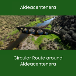
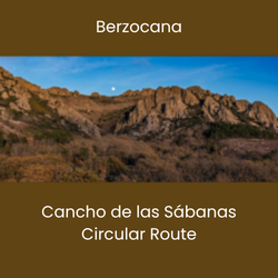
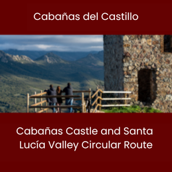
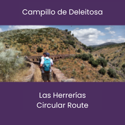
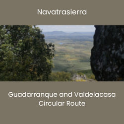
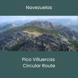
Circular routes address the interests and inquiries expressed by visitors at information and interpretation centers, ensuring that access to geosites and natural and cultural settings is both straightforward and informative. This is especially true when these routes form part of a short-distance itinerary that complements the geotourism experience with a healthy lifestyle activity.
In this regard, circular routes around the villages offer a practical way to achieve this, while also providing easy access for private vehicles, which can be parked very close to the start and end points of the route.
GENERAL CHARACTERISTICS OF CIRCULAR ROUTES
These are routes that start and end in the geopark’s towns, following a circular itinerary of geological, scenic, natural, and cultural value.
- They are interpretive routes, featuring information on both physical panels and the website.
- They are marked with start, end, and intermediate waypoints to ensure hikers stay on the right path.
- They have mapped routes available online.
- They follow public paths or routes where the local council has authorization for use.
- They range in length from two to fifteen kilometers.
- They can be explored on foot or by bicycle. While some sections may be accessible by off-road vehicle, this is not recommended; information panels at the start of the route will indicate accessibility.