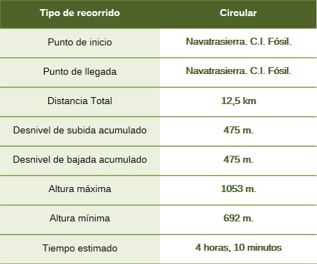
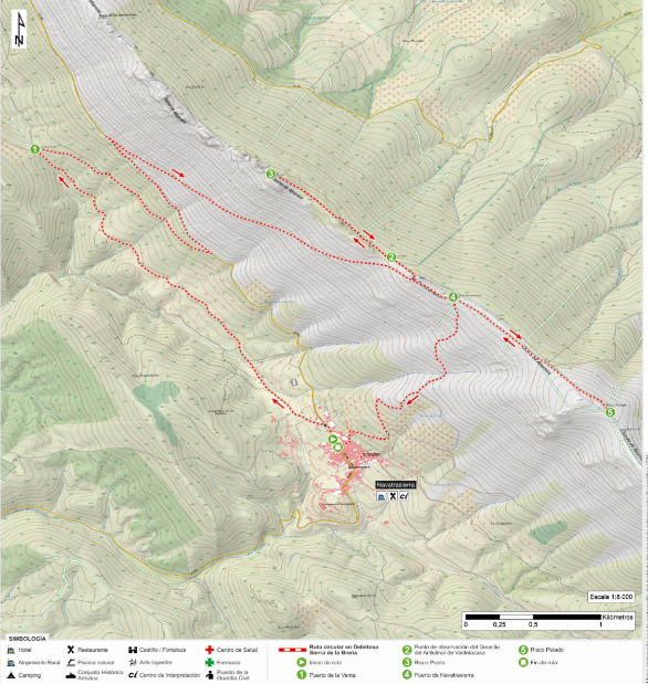
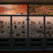
This circular route begins at the intersection of Avenida de Guadalupe and Calle de las Escuelas, next to the Navatrasierra Fossil Interpretation Centre.
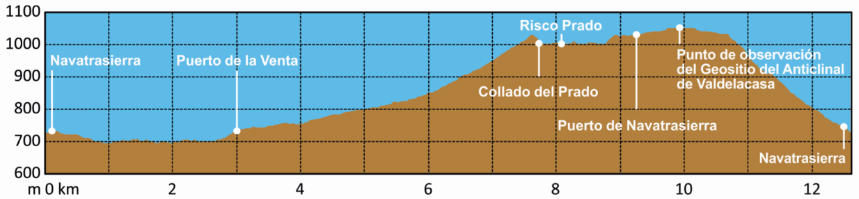
Leave the village via a path branching off to the left, heading northeast—without significant inclines—toward the Puerto de la Venta mountain pass. Several outcrops of fossiliferous shale can be found along this stretch. Next, the ascent to the Collado del Prado (in the Sierra de Altamira) begins; the route joins road CC-432, follows it briefly to the left, and then turns off to the right to reach the Collado and the Puerto de Navatrasierra, attaining an altitude of 1,030 meters.
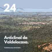
At the pass, there is a viewpoint for the Valdelacasa Anticlinal Valley geosite. From here, one can admire a magnificent example of the synclinal structure of the Guadarranque Valley and the Appalachian-style relief. In contrast, looking east, the vast La Jara peneplain comes into view. The scree slopes, devoid of vegetation, are sure to catch the eye.
This route offers the chance to observe diverse flora, including the shrub and scrub communities typical of Mediterranean forests.
Optionally, one can hike along the mountain ridge toward Risco Prado or Risco Pelado. From the Puerto de Navatrasierra, the descent begins along a southward path that enters the village via Calle Corralada and ends at the route’s starting point. Along this final stretch, examples of vernacular architecture can be seen.
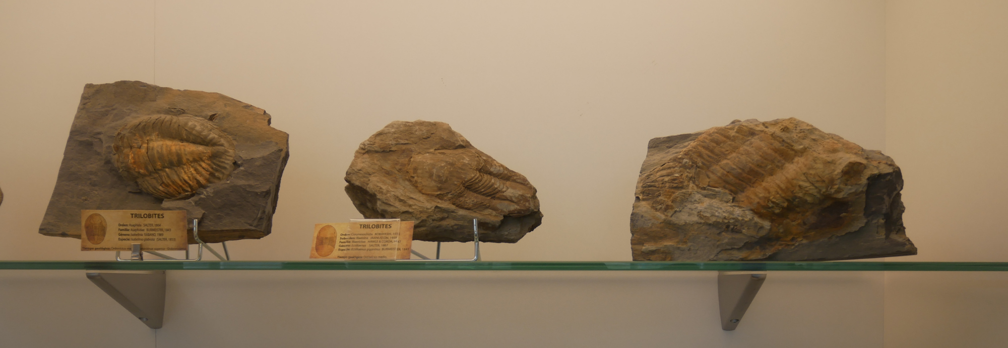
The route runs along the eastern flank of the Guadarranque-Gualija syncline (a syncline is a large U-shaped fold), the widest in the geopark. The youngest rocks, dating to the Silurian period (approximately 443 million years ago), lie at the valley floor, while the oldest rocks—Ordovician ortho-sandstones (470 million years old)—form the crags at the summits. Between them lies a continuous 30-million-year sequence (comprising sandstones, shales, etc.) that is mirrored on the opposite flank. This structure was created by the uplift of ancient seabeds during the Variscan orogeny. The current landscape is also the result of folding during the subsequent Alpine orogeny and over 300 million years of erosion. Dating has been aided by the discovery of fossils (trilobites, brachiopods, cephalopods, bivalves, etc.) and fossilized traces and burrows (notably *Skolithos* and *Cruziana*), which can be viewed at the Fossil Interpretation Centre.