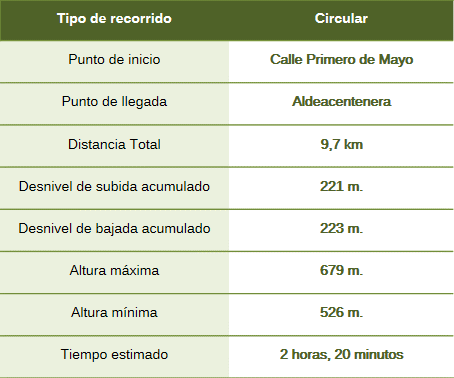
The route follows a path around the town, passing through stretches of dehesa (wooded pastureland) and the confluence of nearby streams. Various greywacke outcrops will be visible, as well as traditional dry-stone boundary walls.
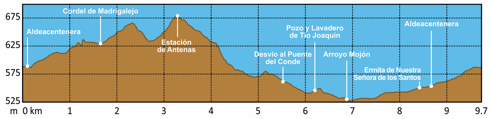
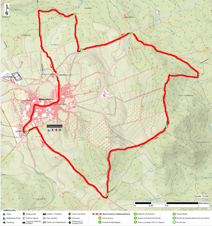
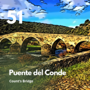
The route begins on Calle Primero de Mayo, turning right onto Camino de Logrosán as far as the Cordel de Madrigalejo; here, we turn north and briefly step off the track before rejoining it, passing a small antenna station on the left. Further on, we head west along Camino de Cesteros and cross the old CC-23.3 road, which branches off toward the Puente del Conde and the Lavadero del Tío Joaquín (Aldeacentenera’s old communal washhouse). We leave the track, heading north to the small Mojón stream, and follow a path parallel to it for a short distance before taking the Camino de Deleitosa back to the starting point. Just before entering the town, next to the cemetery, we come across the Hermitage of Nuestra Señora de los Santos.
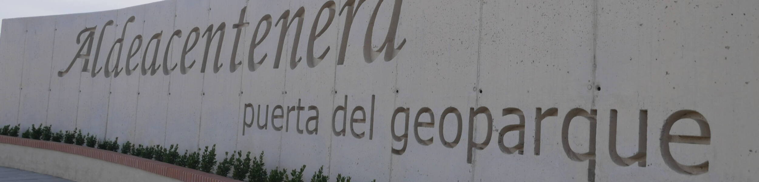
In the town itself, visitors can see the Church of San Bartolomé Apóstol (16th century), dry-stone structures, and a replica of the “Avelea” funerary stele.
The route runs through shales and greywackes—rocks formed on ancient seabeds during the Ediacaran period over 600 million years ago—representing the oldest sedimentary materials exposed on the Iberian Peninsula. From here, one can see the nearby mountain ranges of the geopark, which are of more recent origin (Armorican Quartzite Formation). These rocks can easily be observed in the walls of old dwellings and boundary markers along the route, built using the dry-stone technique—a practice declared Intangible Cultural Heritage by UNESCO.