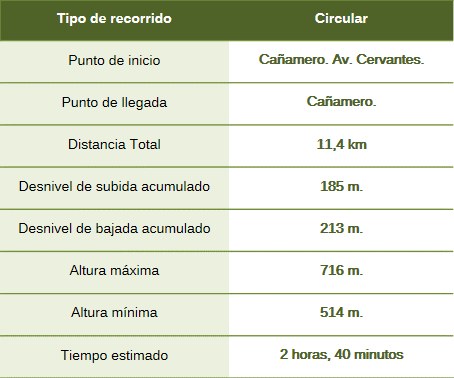
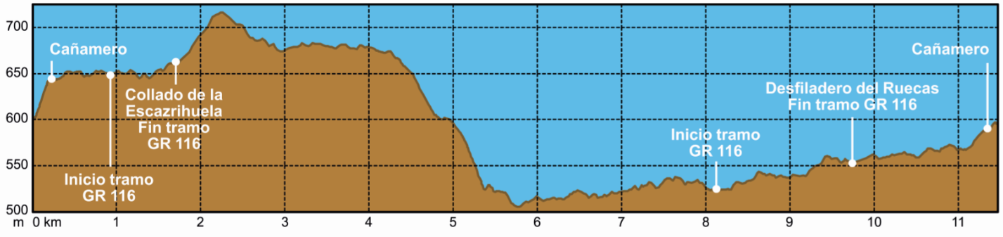
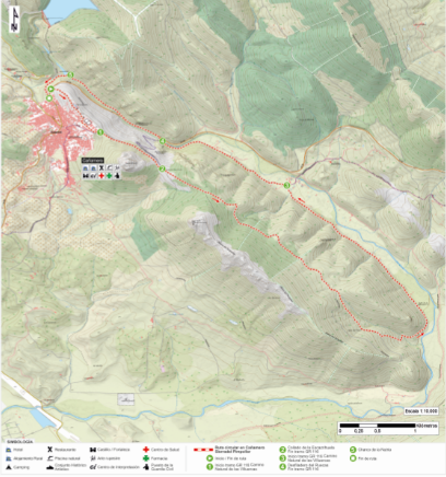
The route begins in the northern part of the town, on Avenida de Cervantes, and continues along the path starting opposite the children’s playground; it skirts the eastern edge of Cañamero and leaves the town via Calle Jarilla, heading southwest.
At this point, we join the GR 16 *Camino Natural de Las Villuercas* (Las Villuercas Nature Trail), leaving the Risco del Castillo crag on our right. A few meters later, we leave the GR 16 to the left; the route continues straight ahead, crossing the Collado de la Escarihuela pass via the Cenal path. Along this stretch, we pass Risco Gordo and the Sierra del Pimpollar on our right. The path continues to the end of the mountain range, skirting it along the Cenal Valley to reach the Ruecas Valley.
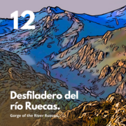
We traverse part of the valley, rejoining the GR 16 until we cross the river, following a section of the EX-102 road through the Ruecas Gorge. Afterward, we take a path to the right that runs parallel to the river toward the Molino natural pool, which features a small dam next to the Valbellido mill. A little further upstream lies the Charco de la Nutria natural pool. Near this pool, within the gorge and surrounded by vegetation, is a rock shelter containing numerous cave paintings: the Cueva de la Chiquita (or Cueva de Álvarez).
From this point, we head to the end of the route on Pablo García Garrido Street.
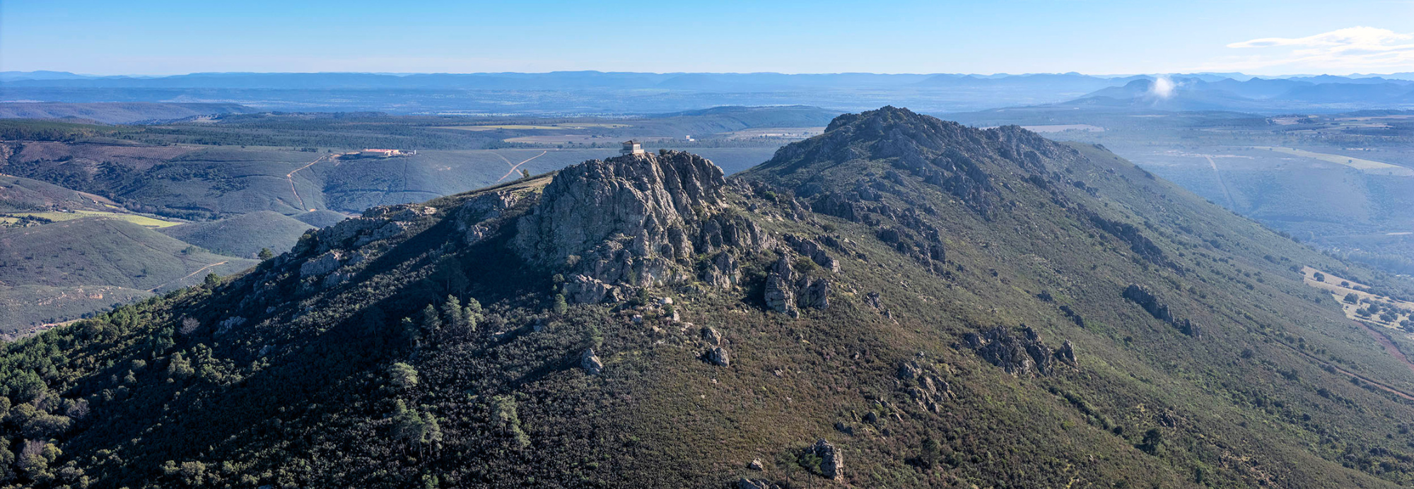
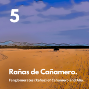
The Sierra del Pimpollar is a ridge formed by the folding and erosion of the Armorican Formation—which originated from shallow-marine sands deposited 470 million years ago—located on the western flank of the great Santa Lucía syncline. This flank lies very close to the southwestern terminus of the extensive Las Villuercas fold system. A fault extending from Cañamero to Solana de Cabañas separates these rocks from the Trujillo peneplain (the 600-million-year-old Domo-Extremeño Group). To the south, at El Cenal, the ridge disappears beneath fluvial sediments known as *rañas*, only to re-emerge as the Sierra de Valdecaballeros. The Ruecas River utilized this fault to shift its course westward, likely through a process of river capture (creating an “elbow of capture”). This area reflects the complex tectonic and erosional processes that shaped the current landscape.