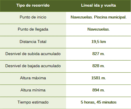
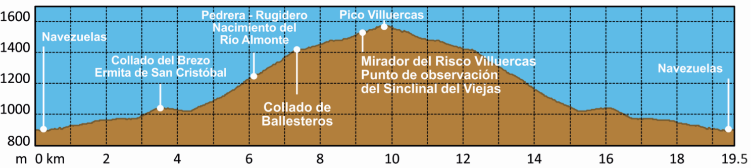
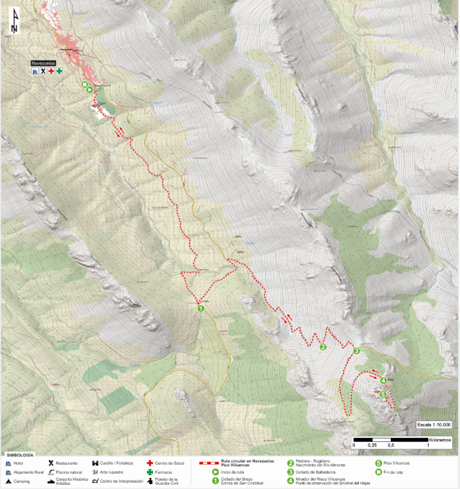
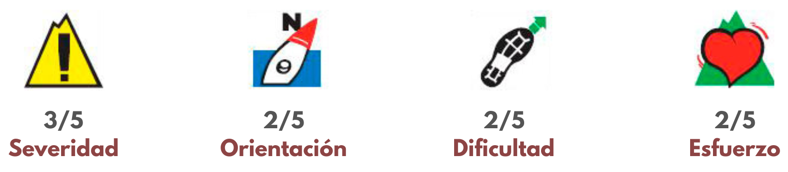
The route begins next to the Navezuelas municipal swimming pool and heads towards La Villuerca along a path running between the CC-425 road and the Almonte River. The trail ascends gently until crossing the river and reaching the Collado del Brezo pass, next to the Hermitage of San Cristóbal.
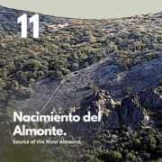
In this area, we join the CC-425 heading north, crossing the river again, and soon leave it for the *Camino de las Acebadillas* (Acebadillas Trail). This path begins to climb, zigzagging up the Sierra de las Acebadillas. From one of the bends, one can see the large scree slope where the Almonte River originates, emerging as a spring at its base. This scree slope is known as the *Rugidero* (Roaring Place) of the Almonte, as the water flowing between the rocks displaces the air, creating a distinctive sound.
We continue our ascent until we reach the CC-437 road (a military track) at the Ballesteros Pass. Turning right onto this road leads us to the Appalachian-style viewpoints and finally to Pico Villuercas, offering a view of the entire southern flank of the Geopark. The series of viewpoints allows us to understand the topography of the mountain massif and its anticlinal and synclinal valleys. The return journey to Navezuelas follows the same route.
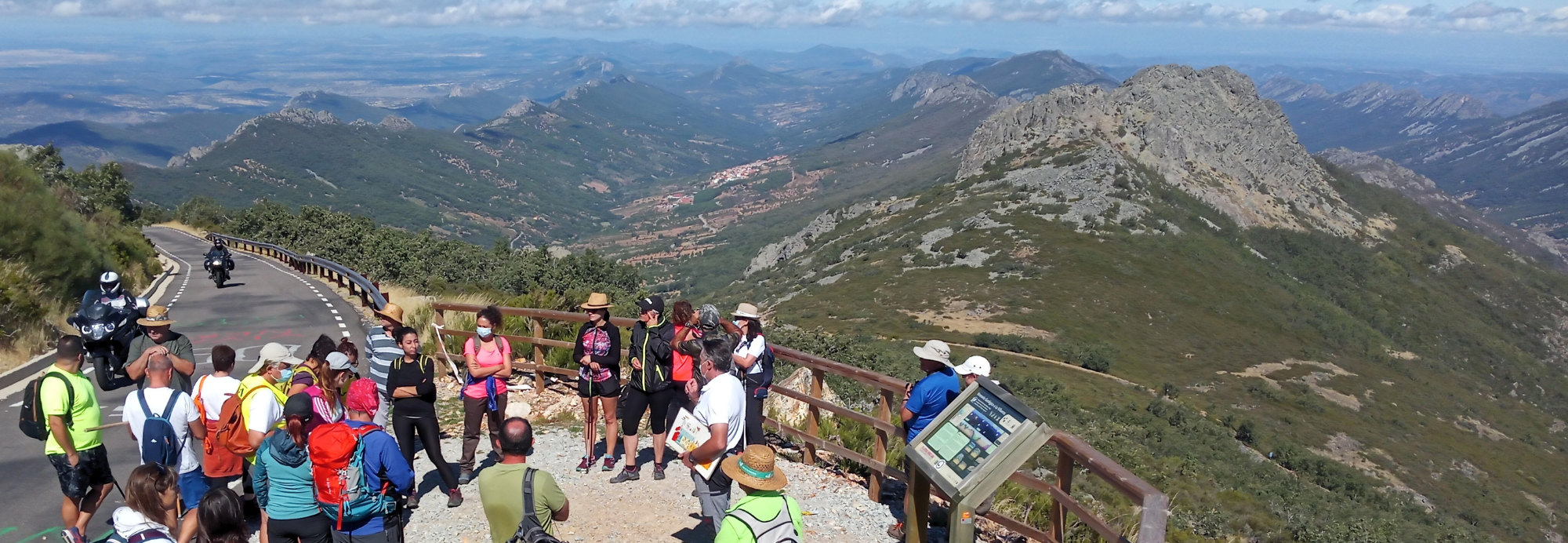
This route leads to La Villuerca, the highest point in the Geopark (1,601 m). It traverses the Almonte anticline, an inverted U-shaped fold (∩) that has undergone erosion over the last 300 million years. At the start, Ediacaran-age materials (630–540 million years old) crop out; these consist of shales, greywackes, conglomerates, and occasional limestone layers, all derived from ancient sediments deposited in deep marine basins. Towards the end—along the ridges and scree slopes—the Ordovician-age Armorican Formation (470 million years old) appears, characterized by thick layers of orthoquartzite deposited in a shallow marine environment on the continental shelf. The Almonte River, which gives the valley its name, originates in the large scree slope beneath La Villuerca.