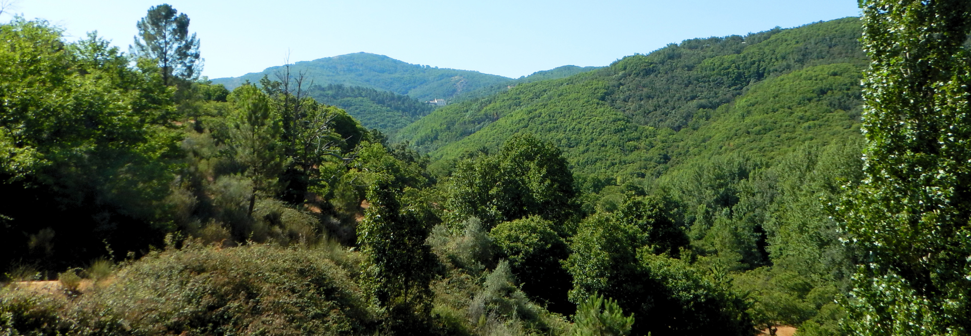
The route winds through wooded areas from Guadalupe to the Mato reservoir dam, dominated by Pyrenean oaks, maritime pines, cork oaks, Portuguese oaks, and chestnut trees. Beyond the dam, the path follows the course of the Guadalupejo River, featuring rich riparian vegetation that includes ash, maple, and alder trees, as well as ivy and honeysuckle.
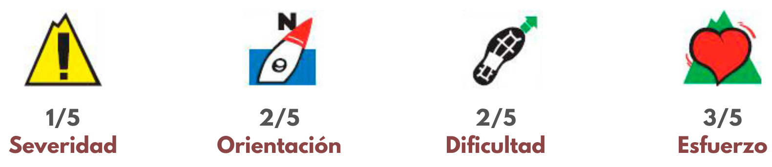
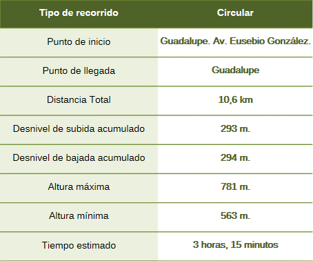
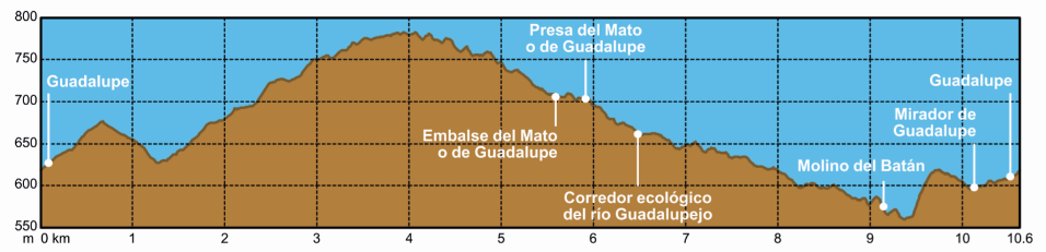
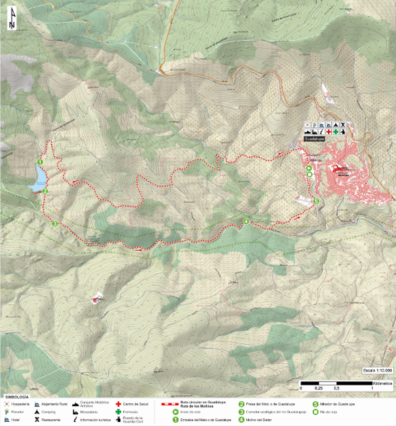
The route begins at the parking areas on Avenida Eusebio González, west of the town of Guadalupe. We head up Calle Cáceres and Calle San José Obrero, leaving the town via a track visible on the left—just past the San José Fountain—that leads to the dam of the Mato Reservoir (also known as the Guadalupe Reservoir or the “Route of the Mills” Reservoir). We follow the path, with gentle ups and downs, until we reach the Águila Stream, where we begin a zigzagging ascent. Continuing onward and crossing the Miramonte *cañada* (livestock trail), we reach the route’s highest point; from here, we can spot the Villuercas and Agudo peaks, the Hermitage of Santa Catalina, and the 14th-century Mirabel Palace-Farm—a site declared both a National Monument and an Asset of Cultural Interest.
We begin a gentle descent that leads us back to the Mato Reservoir. Crossing the dam marks the start of the return journey along the Camino de la Solana, located within the Guadalupejo River Ecological and Biodiversity Corridor. After crossing the Miramonte *cañada* again, we come across the Batán Mill, one of the hydraulic systems developed along the river’s course. Some of these mills—linked to Puebla de Guadalupe and its Monastery—reflect the importance of watercourses to medieval industries.
We leave the Camino de la Solana via an uphill footpath to the left, arriving at the CC-171 road and the Guadalupe viewpoint, which offers a view of the town with its Monastery in the background.
The route encompasses the geopark’s oldest geological units, represented by the Guadiana Formation of the Domo-Extremeño Group (Ediacaran, approximately 600 million years old). Alternating layers of shale and greywacke represent sediments deposited in deep-marine environments associated with the Cadomian orogeny. Overlying these units is the Ibor Group, which comprises a wider variety of materials (shale interbedded with sandstone, conglomerate, and discontinuous beds of dolomitic limestone). The Armorican Quartzite Formation—representing shallow-marine sands from the Ordovician period (470 million years ago)—is visible along the ridges and scree slopes. The subsequent Hercynian orogeny and Alpine faulting shaped the current landscape, defining the drainage divide between the Tagus and Guadiana basins.