LOCATION AND ACCESS
Las Apreturas del Almonte or Portilla del Almonte is one of the most spectacular places in the Villuercas mountain range. It is a fluvial gorge that has been created by the Almonte river as it flows westwards towards the Tagus river, of which it is a tributary on its left bank.
It is located to the north of Cabañas del Castillo, which is accessed by the CC-22 road from Deleitosa to Berzocana. On this road, downstream from La Portilla, there is a bridge that crosses the course of the river Almonte river, from where a path leads along the left bank of the river to ther gorge.
It is easily accessible from the road, parking the vehicle next to the viewpoint near the bridge. There are also other viewpoints from where to enjoy the views, which are located to the east of La Portilla, on the shoulder of the CV-121 road that leads to Roturas and Navezuelas.
ATTRACTIONS OF THE VISIT
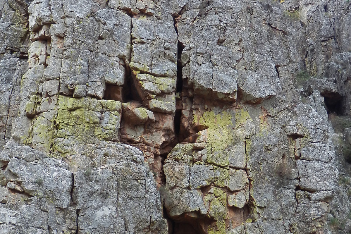
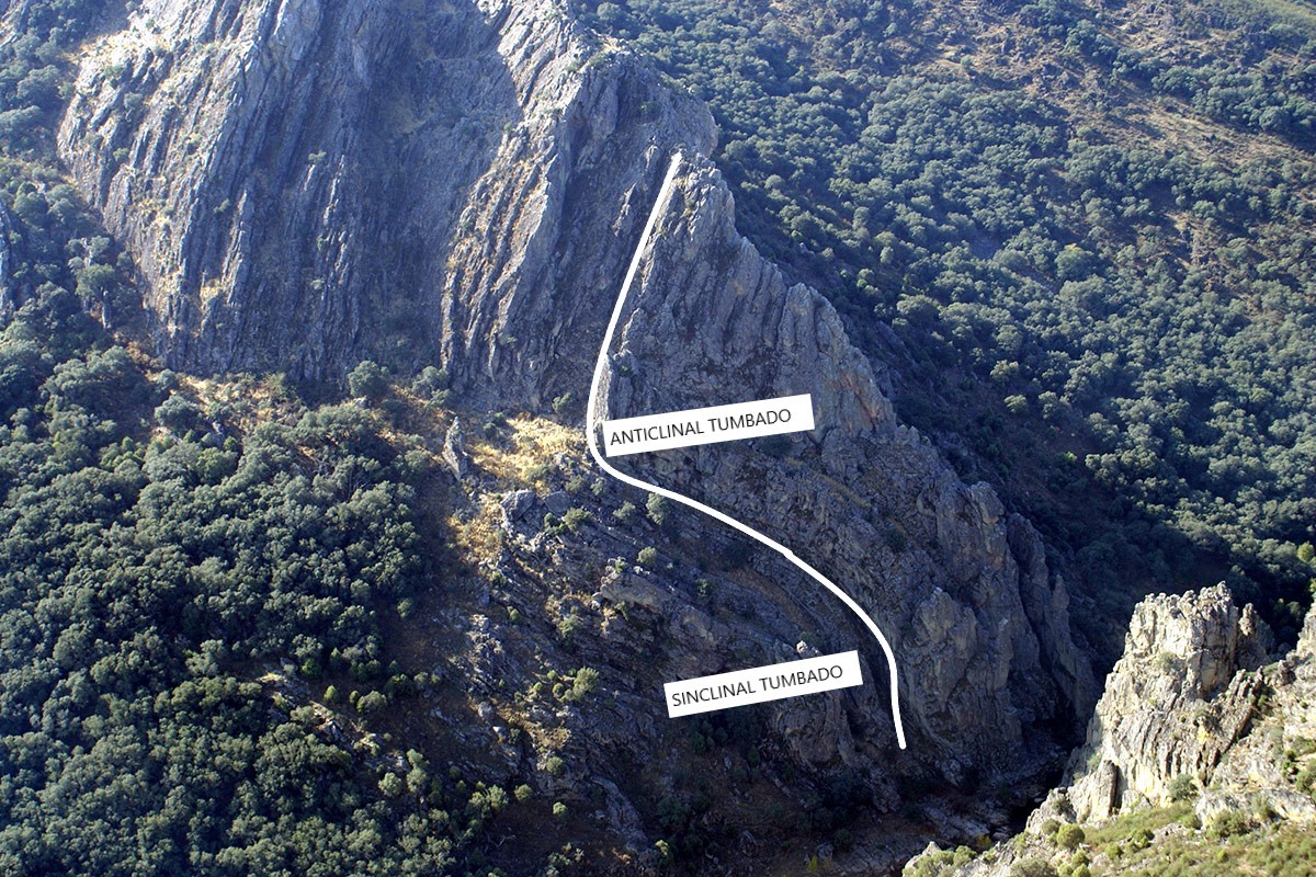
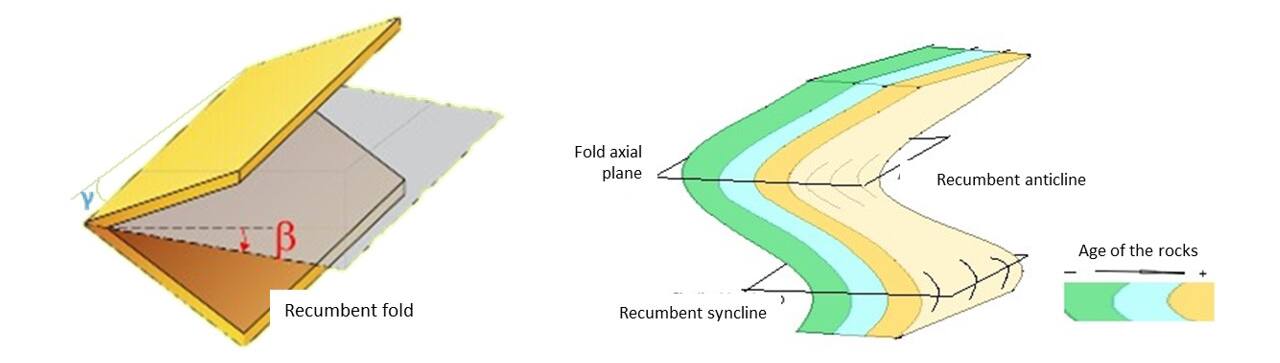
During the visit, in addition to the impressive geology shown by the outcrop of Armorican Quartzite through which the Almonte River flows and on which an impressive fold of more than 100 meters in height stands out, it is possible to find some trace fossils such as those of trilobites (Cruziana), and Skolithos, vertical burrows typical of intertidal or subtidal environments with high energy and which today are made by various invertebrates, the most frequent being annelids, phoronids and small crustaceans.
You can also enjoy the attractive biodiversity that populates the place, both the exuberant botanical and faunal community. As far as the fauna is concerned, the most notable are the birds, mainly the species that nest in la Portilla, in the Peña del Rayo, such as the griffon vulture, Egyptian vulture, black stork, Bonelli’s eagle, peregrine falcon and eagle owl, which take advantage of the security provided by the rocky outcrops and the cliffs to place their nests in places that are practically inaccessible.
As for the flora, it is worth mentioning the riverside trees that grow next to the river bed, such as ash, willow and alder trees, and among the rocky portilla there are abundant junipers, holm oaks, kermes oaks and cork oaks.
GEOLOGICAL INTERPRETATION