LOCATION AND ACCESS
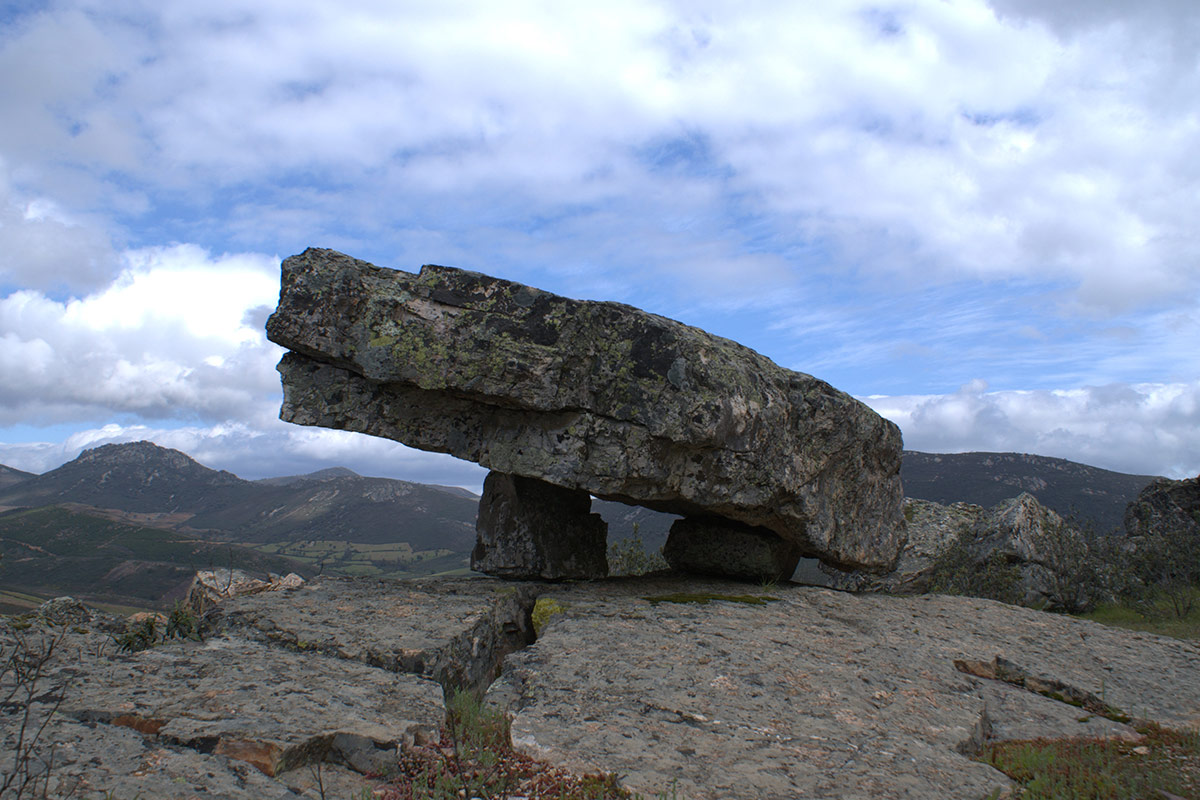
El Risco Gordo is the highest peak in the Sierra del Pimpollar (836 m), located to the south-east of the village of Cañamero. It is easily reached by car along a forest track that starts on the Guadalupe road (EX-102), a few metres to the right of the last houses in the village opposite the Municipal Park. You reach the Escarihuelas threshing floor, from where you can already make out this geosite, and then go up the forest track to the summit.
ATTRACTIONS OF THE VISIT
From the viewpoint of Risco Gordo, we can observe the Appalachian-type relief of the Las Villuercas mountain range, the gorge of the Ruecas river, the Santa Lucía syncline, the extensive Precambrian peneplain of the Central-Extremeño Dome with the granitic stock of Logrosán (San Cristóbal hill) and the sedimentary formations of the Cañamero rañas, of Pliocene-Quaternary age, with their characteristic platforms or “mesas” made up of quartzite boulders and clays from the erosion of the nearby sierras.
Among the strata of the Armorican Quartzite of this Sierra del Pimpollar we can also observe good examples of ichnofossils: Cruziana and Skolithos.
To the north of the risco Gordo we can see the risco del Castillo and the risco del Cuevas , where we can find numerous rock shelters with schematic cave paintings: Los Vencejos, Cueva de Rosa, Umbría del Castillo, etc., and the foundations of the Muslim castle of Cañamero, where the León prince Sancho Fernández died (in the year 1220).
There are also curious legends, such as the following: “The story is told of a shepherd who was looking after his goats in the Sierra del Pimpollar, and being very thirsty he went to drink in a narrow cave in which there was a fountain in which he had to put his head bent down, turn it to drink, and then pull it out in the same way. Otherwise, what happened to the shepherd could happen to you: he got stuck between the rocks… and while he was shouting for help, a thief took advantage of the situation to take his boots and his bag, leaving him in a bad way and in a worse situation”.
GEOLOGICAL INTERPRETATION