LOCATION AND ACCESS
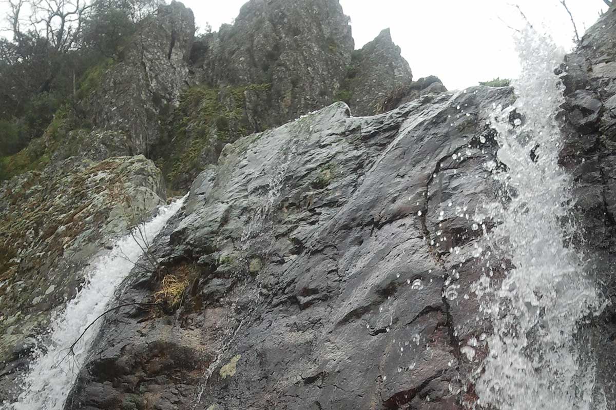
The Chorrera del Calabazas can be reached from the town of Castañar de Ibor via the EX-118 road that links Guadalupe with Navalmoral de la Mata. From the outskirts of this town we can take a dirt road that runs southeast parallel to the stream known as the Arroyo de la Fuente among kitchen gardens, olive groves, and chestnut and oak copses, and takes us to the Collado del Postuero that separates the basins of the Ibor and Gualija rivers, which is the start of the route proper of the Garganta del Calabazas to the waterfall or “chorrera“.
ATTRACTIONS OF THE VISIT
The name of the stream is a result of the presence of various adjoining pedreras that are ironically called “calabazas” or pumpkins by the locals owing to the large size of their rocky blocks.
We can observe the various geological aspects of the folding and fracturing structures of the nearest sierras, their lithology, the geological processes of erosion, and the fossil record (trace fossils) of Palaeozoic invertebrates.
Here not only the geological richness of the site (geodiversity) but also the biological richness (biodiversity) of these sierras can be appreciated. Along the route to the waterfall we pass by oak woodland, chestnut copses, and numerous specimens of Portuguese laurel (Prunus lusitanica) which in these valleys have found one of their last refuges in the Iberian Peninsula. We also pass through a copse of seventeen huge old chestnut trees (Castanea sativa) and the great Portuguese oak known as the Quejigo de La Fuente on the banks of the Garganta del Calabazas. The chestnut trees are accompanied by other Portuguese oaks, hollies, willows, and junipers of outstanding size, together with rare species of orchids, honeysuckle, wild rose bushes, evergreen privet, viburnum, terobinth, etc.
GEOLOGICAL INTERPRETATION

