LOCATION AND ACCESS
The great Guadarranque-Gualija syncline extends over some one hundred kilometres from northwest to southeast within the Geopark, from the River Tajo to the Cíjara reservoir on the River Guadiana, and is limited by the anticlines of Valdelacasa to the east and Ibor-Guadalupe to the west. The River Guadarranque is its main watercourse; it flows towards the Guadiana while the River Gualija does so towards the Tajo.
The syncline can be reached by a number of roads that cut into it transversally, the major ones being the CC-20, EX-102, and N-502. Important paths include the Camino Real de Guadalupe, which crosses it at Navatrasierra, and the Camino Natural de Las Villuercas from Alía to the Puerto de San Vicente.
ATTRACTIONS OF THE VISIT
During the visit the megastructure of the synclinal fold and the different layers of which it consists should be observed. The various rocks can be identified from the relief according to their differential erosion and rich fossil record.
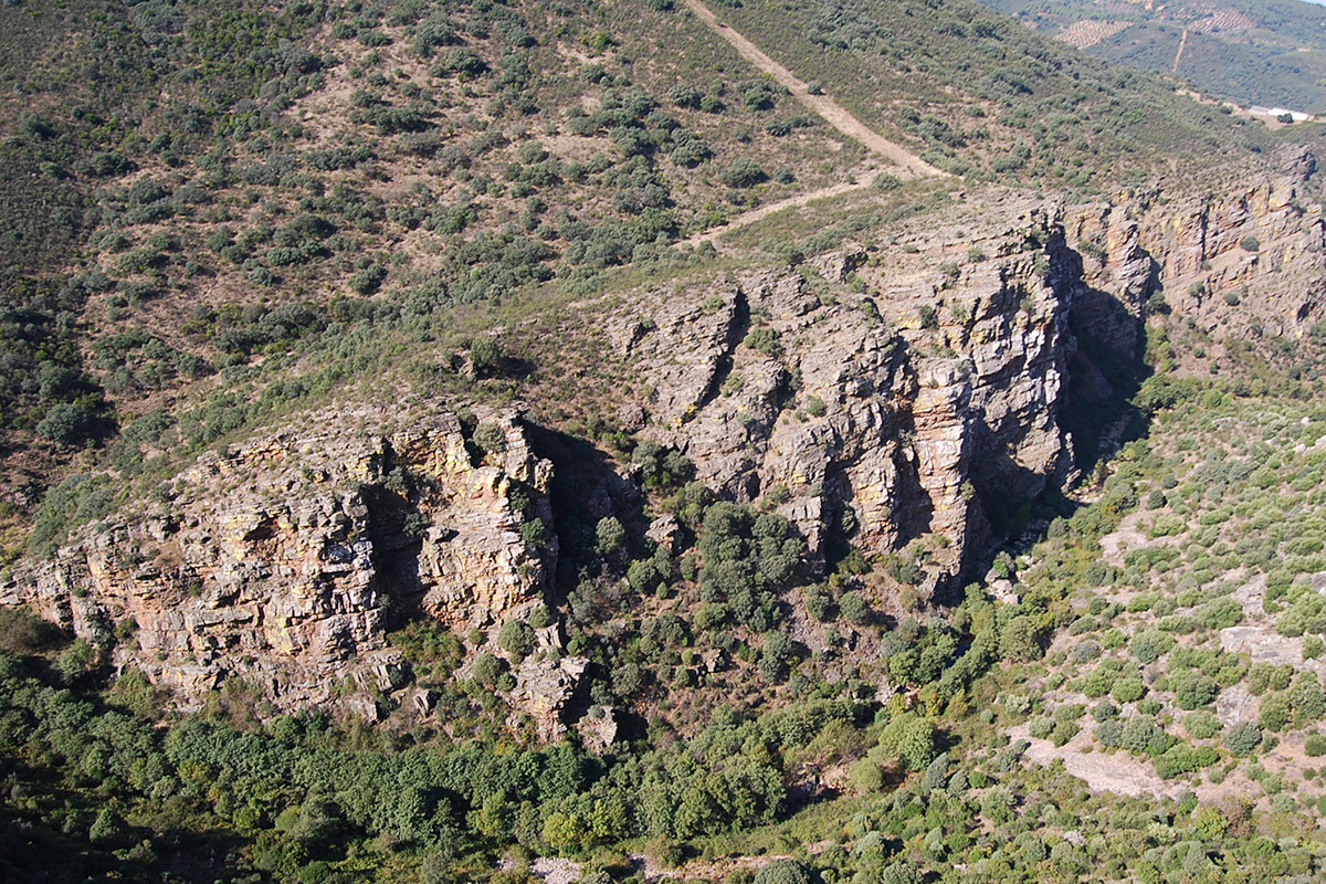
The quartzites of the Upper Ordovician (Caradoc quartzites) of the pool of the Garganta de la Trucha are transversally fractured (see map and photo). The impressive displacements of the blocks can be observed in situ along the fault plane.
Beside this stream we can also observe the “lorera” of La Trucha, which is one of the best preserved woods of Portuguese laurel (Prunus lusitanica), a tree that already existed in the Tertiary. It is accompanied by riverside woodland of alder and ash. The rock plants that grow on the quartzites are equally interesting.
Further to the north we come to the River Gualija which winds its way through the Canchos de Vadillo to create a fine ornithological site. This imposing quartzite (Caradoc) rock wall provides nesting sites for vultures and other birds of prey.
To complete our route we can visit the village of Navatrasierra where numerous fossils of trilobites and other marine invertebrates are exhibited at the school. From here we can leave by the pass of the Puerto de Arrebatacapas towards the plains of La Jara (the Valdelacasa de Tajo anticline) or return via Guadalupe on the Hospital del Obispo road.
GEOLOGICAL INTERPRETATION

