LOCATION AND ACCESS
These hydraulic works are seven centuries old and are some 6 km northwest of the town of Guadalupe at an altitude of 915 metres on the southeast side of the sierra of La Villuerca. Easy access is afforded by the road from Guadalupe to Navalmoral de la Mata and then by a forest track starting at the Humilladero Chapel in a westerly direction, parallel to the route of the old water channel.
ATTRACTIONS OF THE VISIT
These hydraulic works consist of the following parts:
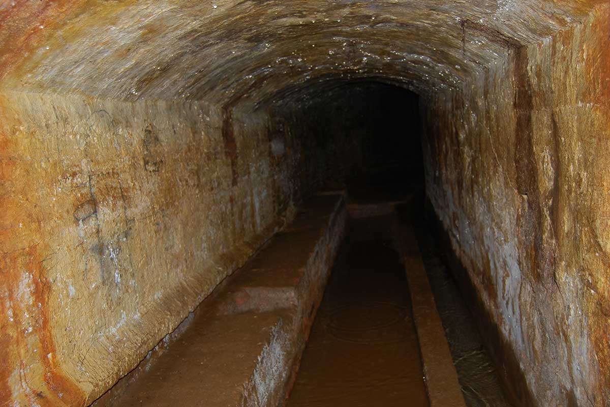
Main collection: A network of drainage galleries or “water mines” that have been excavated in the southeastern slope of La Villuerca in search of the springs or “manaeros” that originate in the fractures of the quartzites and shales. The galleries are lined with ceramic bricks held together by lime mortar.
Storage: The “mines” concentrate the water in a pointed barrel vault cistern of granitic stones which is known as the Arca del Agua. It has a square ground plan of 5.3 x 4.0 m and is covered with a filling to stabilise the structure. Part of the Arca del Agua is above ground but the part occupied by the water has been excavated below ground.
Treatment: By pouring off the water collected in the Arca del Agua and in the adjacent small cistern.
Channelling: By means of tongue and groove ceramic pipes that have masonry “vents” every few metres; they eliminate air from the pipe and regulate the water pressure as far as the town of Guadalupe after it has crossed the hill known as the “Cerro Huraqueado” (“horadado” = perforated) by means of a inner gallery excavated for the purpose.
GEOLOGICAL INTERPRETATION

