LOCATION AND ACCESSIBILITY
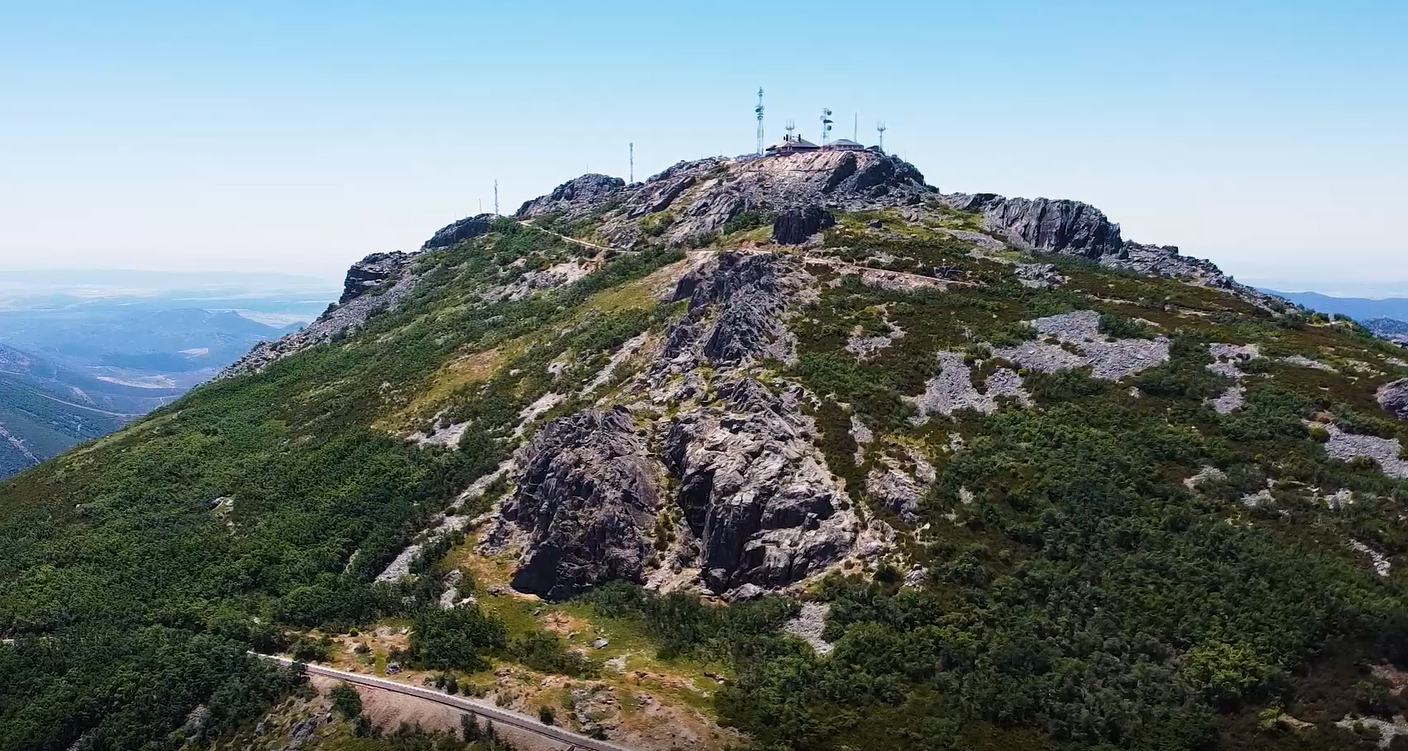
La Villuerca culminates in a helipad, part of a complex of military installations located in the area for the purpose of regulating air navigation. These facilities are now abandoned, with the exception of the buildings housing the necessary navigation equipment—which are maintained and operated automatically and remotely—giving the site a somewhat desolate and neglected appearance. Furthermore, the structures obstruct views to the north; however, this is addressed by the “Appalachian-style” viewpoints installed along the ascent.
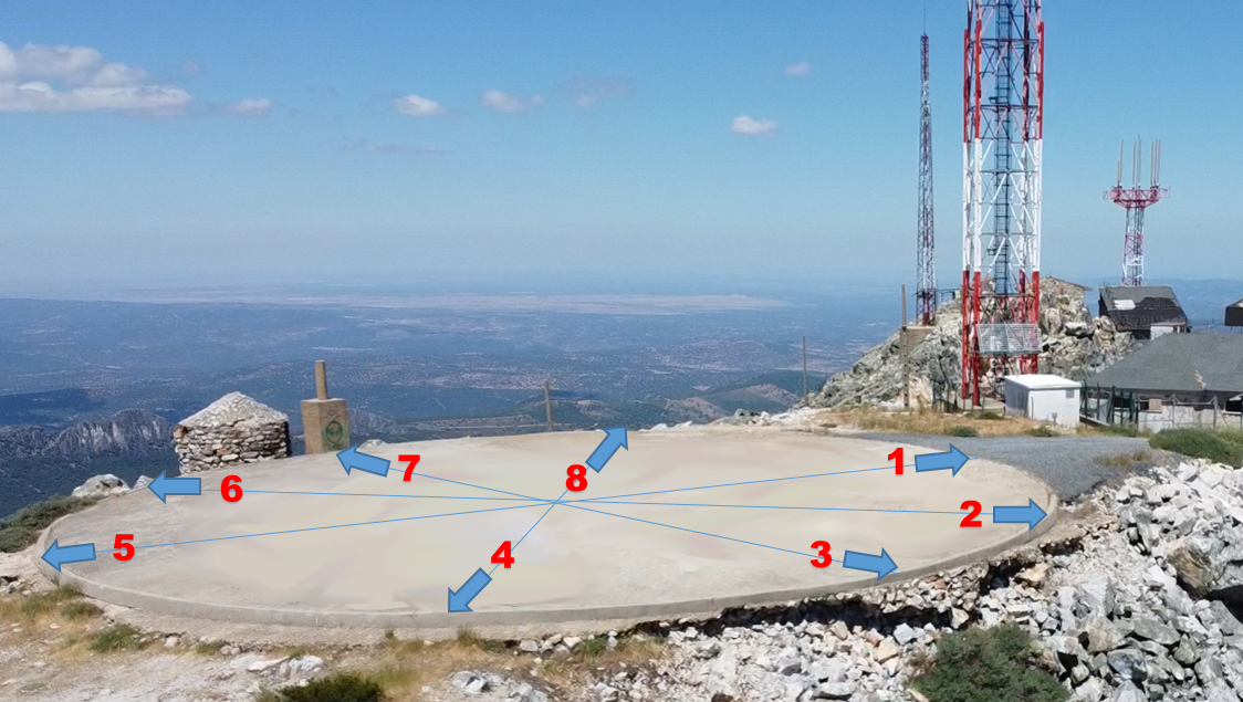
The entire access road was transferred by the Ministry of Defence to the Provincial Council of Cáceres for use by the Geopark. Since being repaved, this route has become one of the most visited spots—to the extent that a study on regulating access has been required for certain days and times of the year. The land transferred by the Ministry ends just before the entrance to the helipad. As the helipad remains operational, it is not possible to install interpretive signage at this location.
Therefore, interpretation from the summit must be carried out with the help of the technology we have made available to you here.