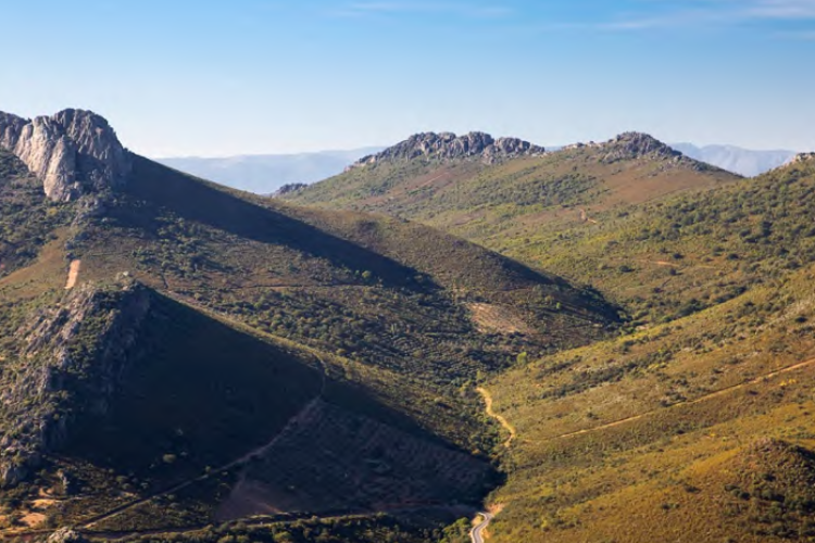
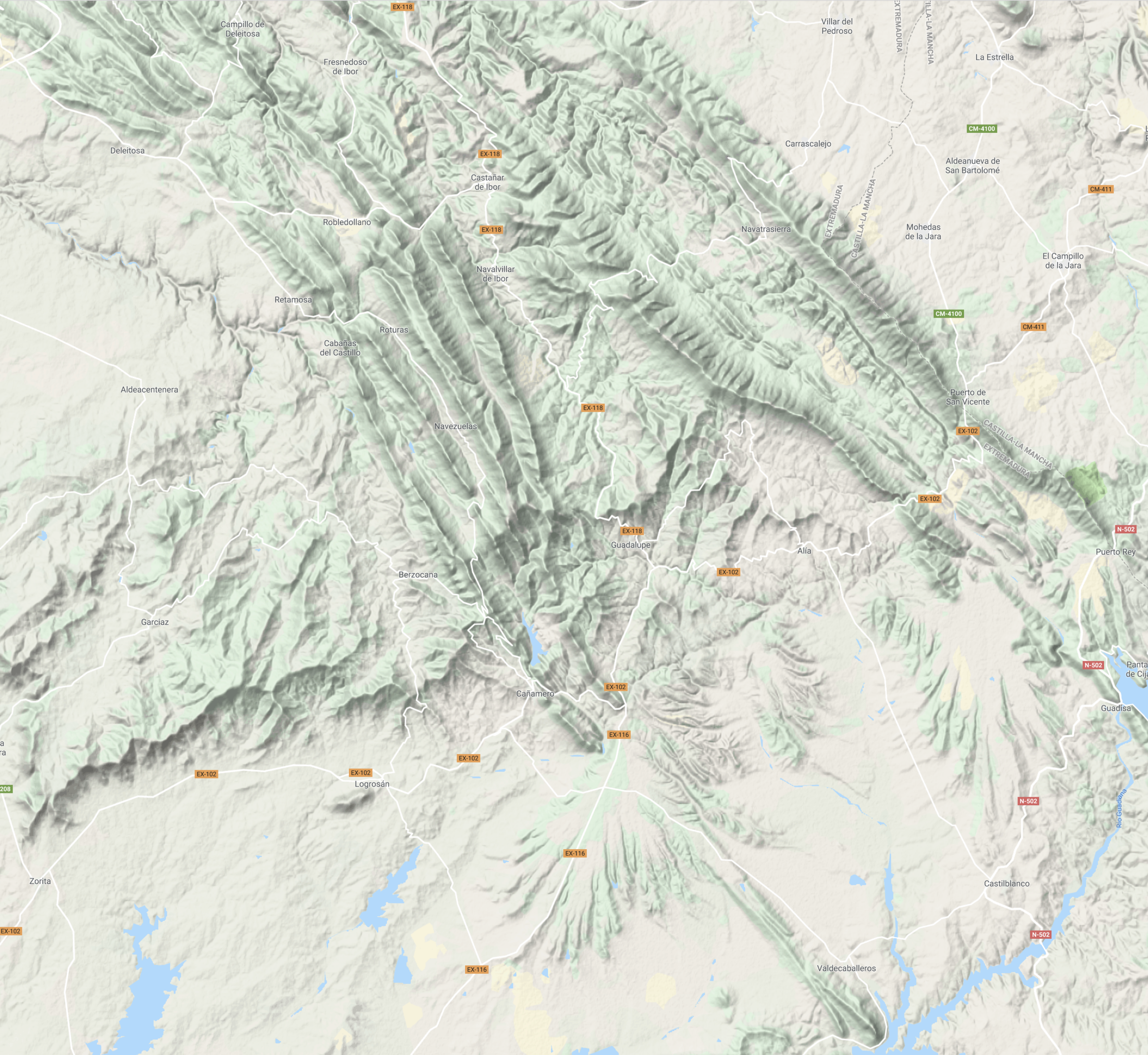
These protected areas encompass a large portion of the Geopark’s mountain ranges and valleys. Stretching from Alía to Peraleda de San Román, or from Berzocana to Castañar de Ibor, the region includes the valleys of the Santa Lucía, Almonte, Viejas, Ibor, Gualija, and Guadarranque rivers. Within the Guadarranque-Gualija syncline, there is also a watershed divide; two rivers originate in this valley and flow in opposite directions—the Gualija River, which empties into the Tagus, and the Guadarranque River, which flows into the Guadiana basin.
Peraleda de San Román serves as the best access point to the rugged Gualija Valley, via a track that passes by the Marialina Mine before reaching and crossing the river. On the far side of the river lies an extensive area of marble-like rock known as “Parralejo.” This area is rich in basophilic vegetation—plants that thrive in alkaline soils—notably featuring scrublands of white-leaved rockrose (*Cistus albidus*) and kermes oak (*Quercus coccifera*), as well as numerous orchids (with an abundance of species from the *Ophrys* and *Anacamptis* genera).
Finally, it is worth noting that the Berzocana area is home to the “Canchos de las Sábanas”—imposing quartzite formations with a steep dip (inclination) that contain a wealth of trace fossils (ichnofossils). Nearby, there is a botanical garden showcasing species representative of the local vegetation of the Villuercas region. Furthermore, the summit of this area, Risco Gordo (1,263 m), offers an excellent vantage point for birdwatching and for observing the Appalachian-style topography that characterizes these mountain ranges.