The Villuercas-Ibores-Jara UNESCO Global Geopark is a territory where every mountain, valley, rock, and village holds a story that stretches back millions of years. Its geological itineraries offer a unique way to explore this heritage, bridging nature, landscape, culture, and knowledge.
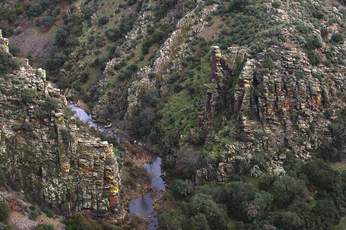
Through its rural geological routes, you can venture into mountain ranges, valleys, and natural spaces to observe rock formations, Appalachian-style landforms, and the processes that have shaped this unique landscape. These paths invite you to take your time, enjoy the surroundings, and gain an understanding of the Geopark’s extraordinary geological richness.
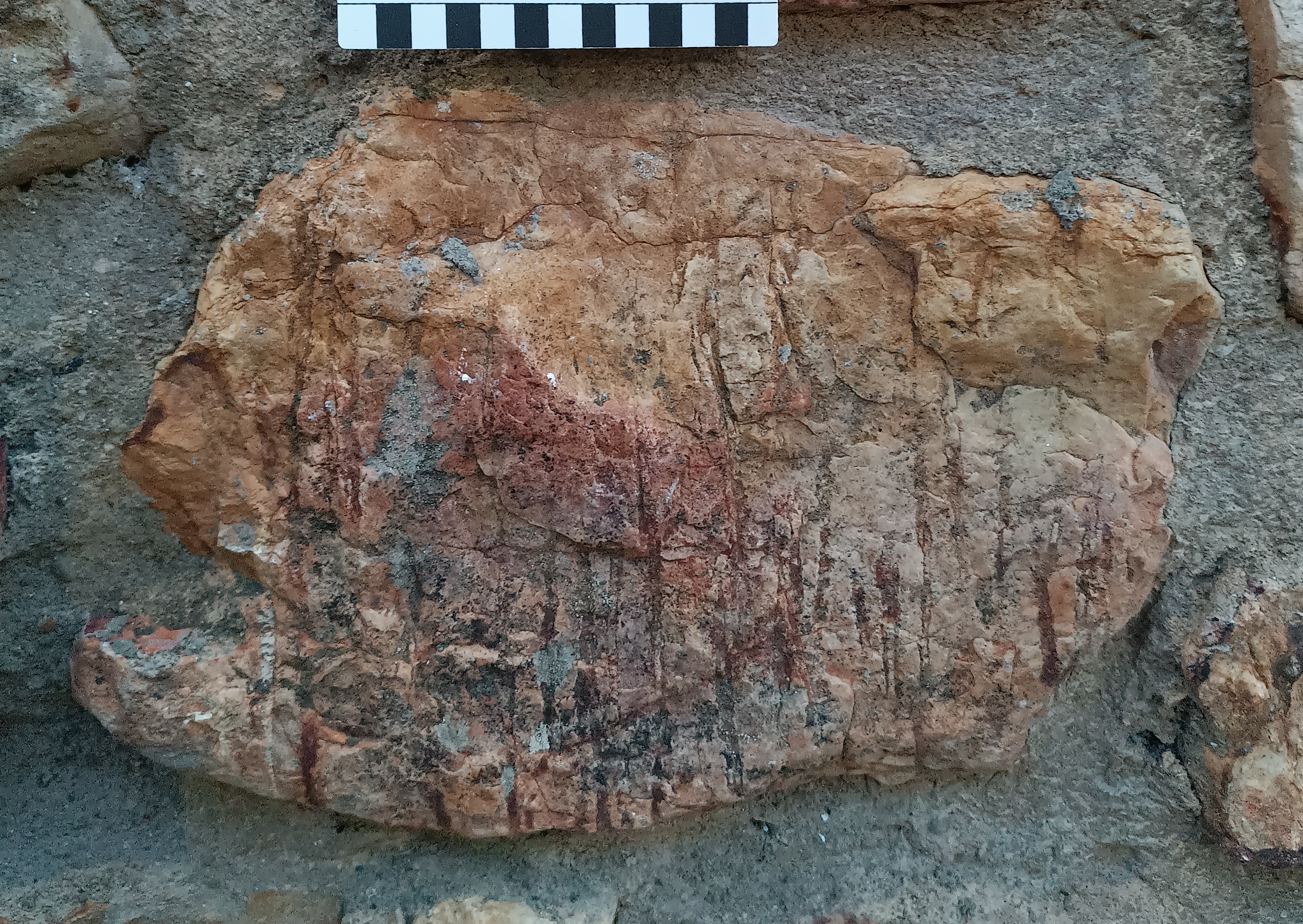
Meanwhile, the urban geological routes reveal how the history of the Earth is also woven into our villages. Their streets, buildings, and traditional structures offer fresh perspectives for interpreting the rocks, the materials used, and the relationship between the people and the land.
Together, these two approaches offer complementary ways to explore Villuercas-Ibores-Jara, learn about its geological past, and discover everything that makes this place an exceptional destination.