We are at the start of the second section of the Geological Itinerary of the Appalachian-style Relief, which connects Solana de Cabañas with Navezuelas. The mountain ranges and valleys of the geopark are arranged more or less parallel to one another, running in a southeast-to-northwest direction. Their formation, geology, and geomorphology have created a type of terrain known as “Appalachian-style” relief. The route cuts across this landscape, allowing us to explore this fascinating geological setting, as well as its local flora and fauna. We will ascend from the Logrosán Valley—where we are currently located—up to the mountain pass of the Sierra del Castillejo. From this vantage point, we can see the synclinal valley of Santa Lucía, which we will traverse until we reach the pass of the Sierra de la Ortijuela. Continuing our descent, we arrive at Navezuelas—the end point of this section—situated within the anticlinal valley of the Almonte.

The rocky materials we see today were folded during the Variscan orogeny (~300 million years ago). They emerged from the seabed as part of a major mountain range that has since undergone extensive erosion, resulting in a characteristic geomorphology: eroded anticlinal valleys—which reveal, at their core, very ancient materials folded during the Cadomian orogeny (Ediacaran–Early Cambrian)—interspersed with synclinal valleys containing younger materials (Ordovician).
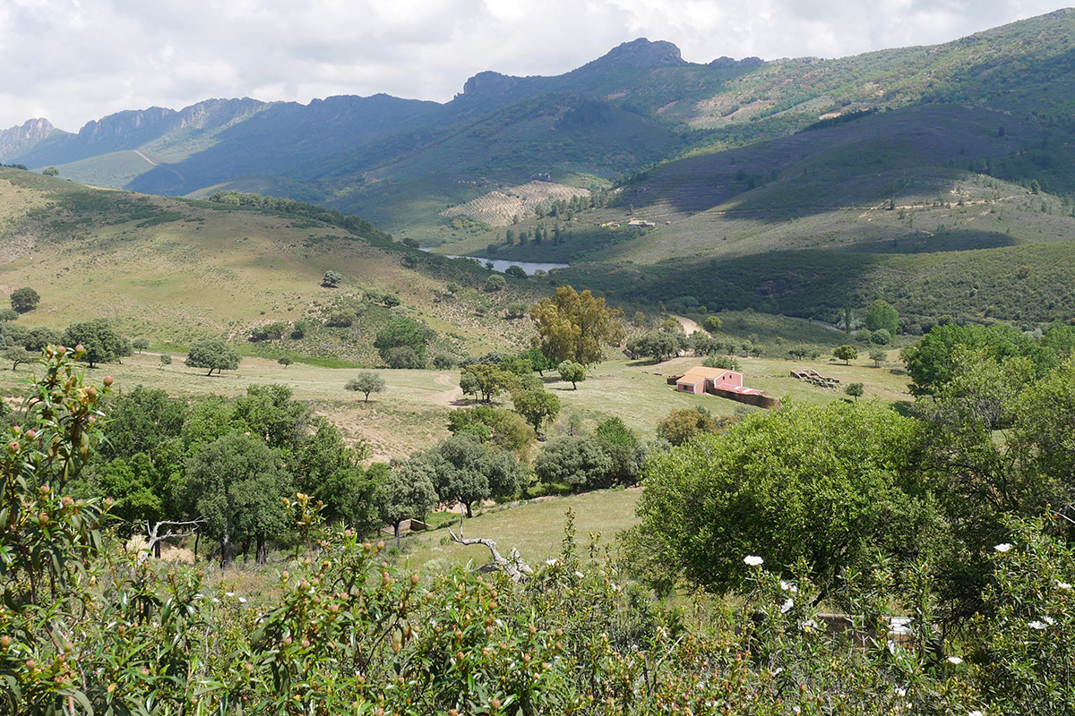
It is worth noting the contrast between rocks highly resistant to erosion—such as the Armorican Quartzite that forms the crags of the mountain ranges—and other materials, primarily shales and greywackes, which are poorly permeable and highly friable, found in the lower-lying areas of the valleys.
The cork oak (*Quercus suber*) forests and the Mediterranean vegetation encountered throughout the route also deserve special attention.