LOCATION AND ACCESS
The crag known as the Risco de La Villuerca is located between the municipal districts of Navezuelas, Cañamero, Villar del Pedroso, and Guadalupe in the central area of the Sierras de Guadalupe, also referred to as the Sierra de las Villuercas. Its summit can be reached by a surfaced track that leaves the mountain pass of the Humilladero Chapel at kilometre 4 of the EX-118 road, and also by a cement road that rises from near the town of Navezuelas, to be exact from kilometre mark 3’6 of the CC-121 road. The track that rises from the Humilladero has a poor surface and numerous bends and should be negotiated with care, while the road from Navezuelas is very steep. The Risco can however be reached in any type of vehicle and naturally on foot.
ATTRACTIONS OF THE VISIT
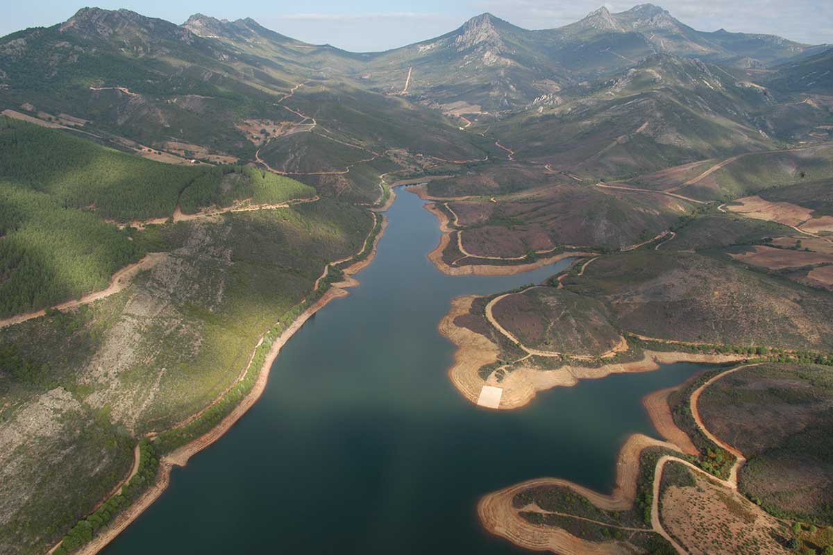
From the valley we can see the nearby conical crag of Picoagudo, a quartzite witness hill that resisted the erosion that has worn down the Hercynian cupola of the Guadalupe anticline.
From its source in the pedreras of Los Hollicios in the southern area of La Villuerca to its mouth in the Guadiana near Valdecaballeros, the River Guadalupe is of outstanding geological, ecological, and aesthetic value. The excellent state of preservation of its upper section, which has been protected as an Ecological and Biodiversity Corridor since 2003, means that we can find here outstanding plant formations such as riverside woodland of willows, ashes, black poplars, and alders or others associated with margins, generally pasturelands of grasses and mixed woodland of evergreen oaks and cork oaks. It also holds a large number of protected mammal and bird species: the otter, shrew, wild cat, marten, black stork, eagle owl, scops owl, booted eagle and short-toed eagle, kites, black-shouldered kite, goshawk, sparrowhawk, lesser kestrel… and many aquatic birds.
As far as history is concerned we must mention the abundance of mills, fulling mills, and water mills that were built by the Hieronymite monks on the banks of the River Guadalupe. In his Itinerarium Hispanicum of 1494-1495 the German traveller Münzer tells us that Queen Isabel the Catholic spoke of this beautiful and exuberant landscape that surrounds Guadalupe as “her paradise”.
GEOLOGICAL INTERPRETATION

