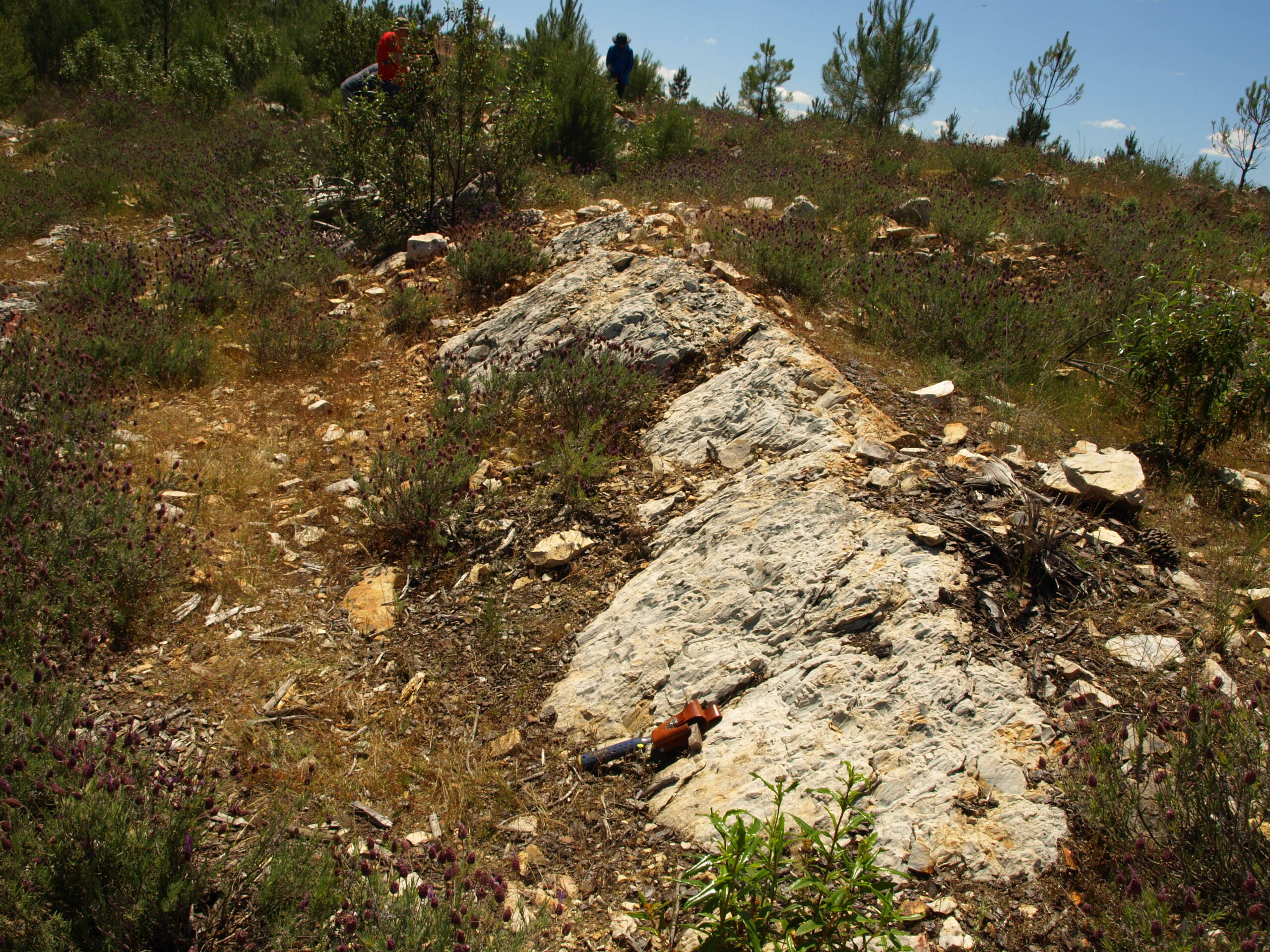
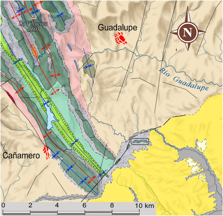
Las Amoladeras includes an outcrop of the basal levels of the Armorican Quartzite with an important accumulation of ichnofossils of the Skolithos and Daedalus types, which are often found in association in the same levels. It is situated in a synclinal structure and constitutes, together with Pico Agudo, an extension of the dismantled Viejas syncline.
Skolithos is an ichnofossil of cylindrical and elongated geometry, arranged perpendicular to the stratification. These ichnofossils are interpreted as dwelling tubes being very common in shallow and energetic littoral or sublittoral environments, where detrital sediments are deposited.
On the other hand, Daedalus is a more complex trace fossil. Whereas Skolithos are simple vertical tubes Daedalus are conical or spindle-shaped as the result of the progressive displacement of a vertically, or gently inclined, J-shaped tube. Daedalus does not have modern counterparts but is believed to have been formed by a worm-shaped animal opportunistically exploiting the substrate for food, alternatively harvesting biofilms that colonized the sand grains. Daedalus is a particularly characteristic trace fossil of the Armorican Quartzite.


