Geoparque Mundial UNESCO

Nº40 – Matarredonda site

Geoparque Villuercas > Nº40 – Matarredonda site

LOCATION AND ACCESS

The route to La Villuerca is a cultural, ecological and geological itinerary.

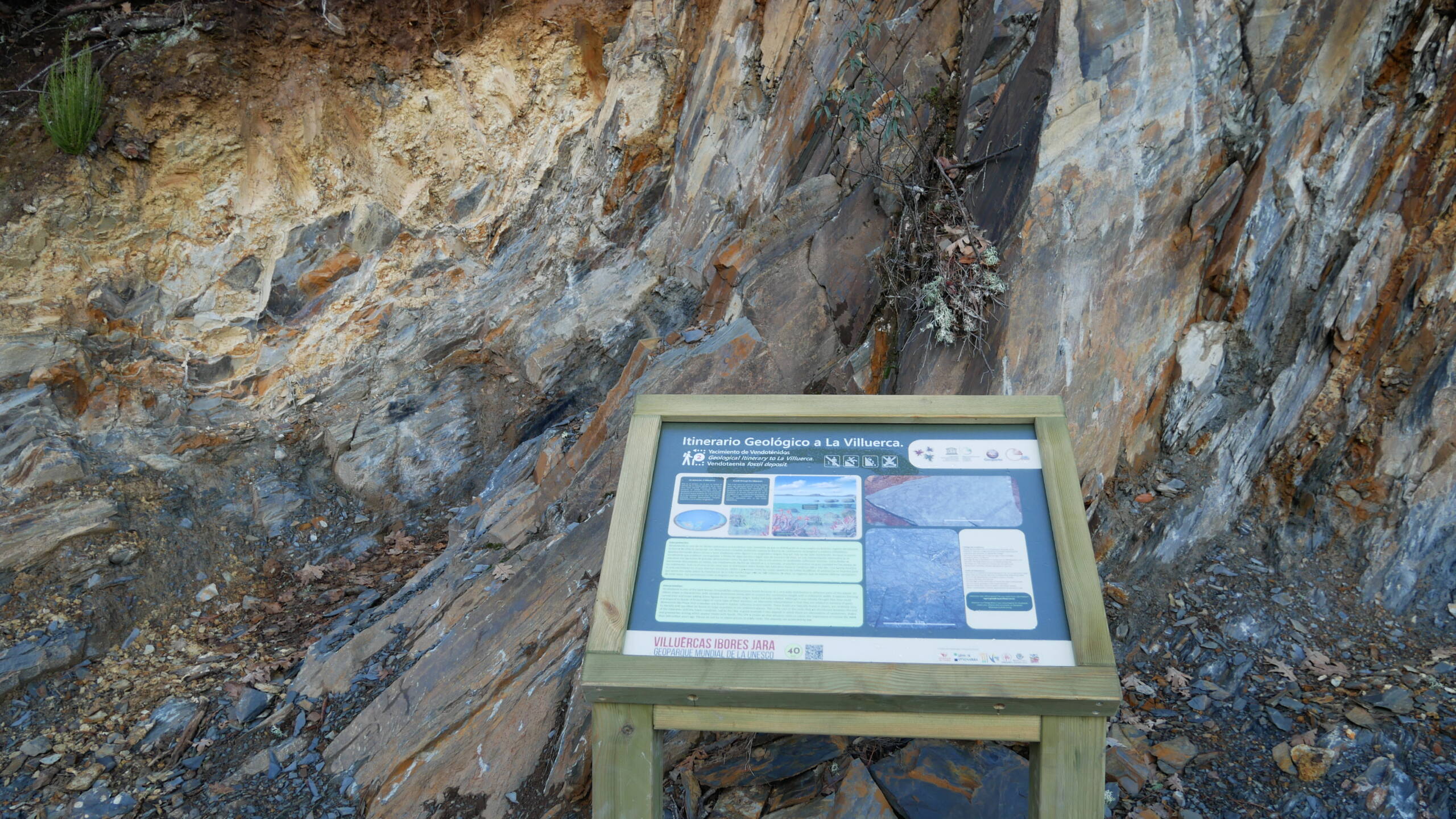
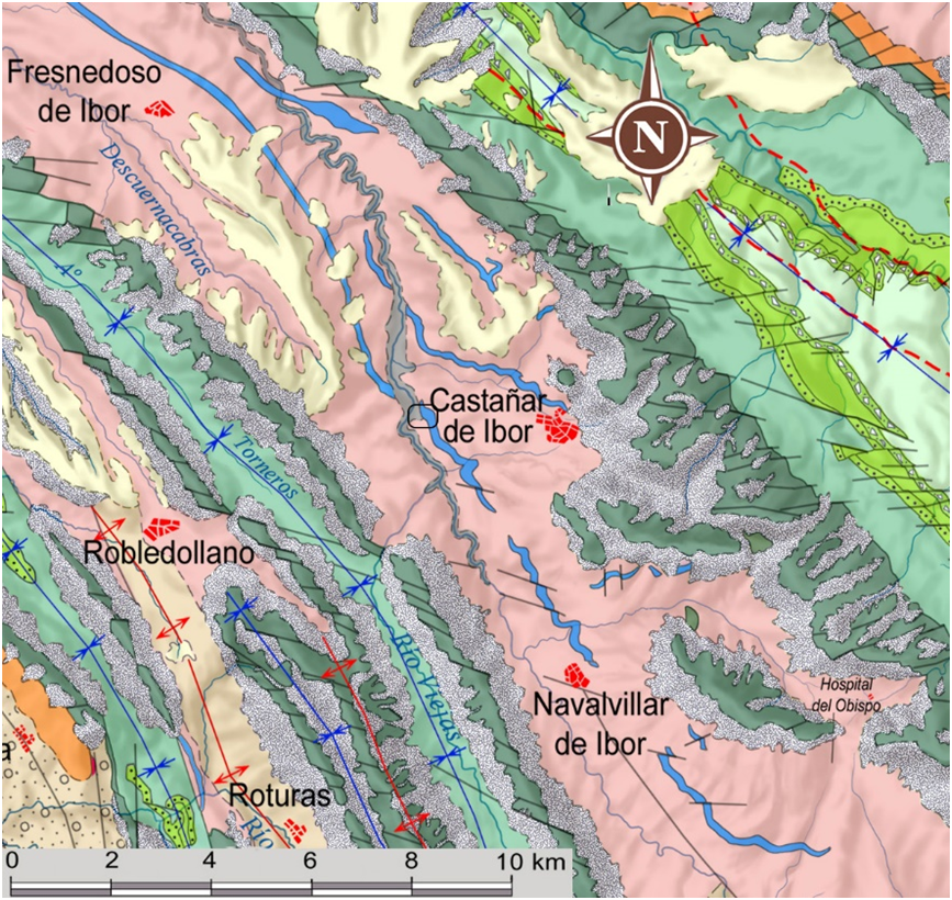
The Matarredonsa site is located at km 2.1 of the Pista Militar in the direction of Pico de la Villuerca. The outcrop is located on the left-hand verge and includes an explanatory panel.

Access is easy and the track has facilities for parking several cars.

During the ascent to La Villuerca we can also study the different levels of vegetation at different heights and orientations, obtaining observations ranging from riparian flora to rocky flora at altitude, as well as forest and agricultural crops. For the same reason, it is an interesting spot from the point of view of ornithology.
GEOLOGICAL INTERPRETATION

It is a palaeontological site included in shales belonging to the Ibor Group, from the end of the Ediacaran, a unit deposited in a mixed terrigenous-carbonate marine platform environment, in a back-arc basin generated during the Cadomian orogeny. It is characterised by the presence of laminated shales with intercalations of greywackes, arkosic sandstones, conglomerates and limestone levels.

The deposit is located in levels of micro-laminated shales in which abundant and well-preserved carbonaceous fossils (vendotaenids) of possible algae that lived in the seas that originated this territory some 550-540 million years ago can be seen. These same rocks show us the traces that the currents left on those seabeds, known as ripples. The shale levels alternate with impure sandstone levels with a carbonate matrix and small pyrite cubes are very abundant.

40EN