Geoparque Mundial UNESCO

Nº49 – Paper Houses. Gualija meanders.

Geoparque Villuercas > Nº49 – Paper Houses. Gualija meanders.

LOCATION AND ACCESS

To reach the geosite, take a forest track that leaves the EX-118 to the right towards Bohonal de Ibor, at kilometre 37. Follow the Casitas de Papel y del Castañar de Ibor geological route. The geosite is just to the left of the road, after 12 km from the start of the road, and is the final part of the geological route.

The path is a dirt forest track that in some sections is impracticable if you are not on all-terrain vehicles.

ATTRACTIONS OF THE VISIT

The layers of slate that outcrop in the area have a well-developed foliation, which is why they have traditionally been used for the construction of the houses and corrals in the area, as well as their floors and boundaries. The name «Casitas de Papel» is appropriate in view of the laminated morphology of the slates used.

The site has a high visual quality, as well as a high floristic importance due to its variety of species, typical of these encased valleys. In particular, the rocky crests perforated by the river Gualija can be seen, which serve as nesting sites for a wide variety of birds. Relevant biotic elements are the thermo-Mediterranean scrubland and holm oak groves. Among the fauna of note are the medium-sized horseshoe bat, Egyptian vulture and Bonelli’s eagle.

GEOLOGICAL INTERPRETATION
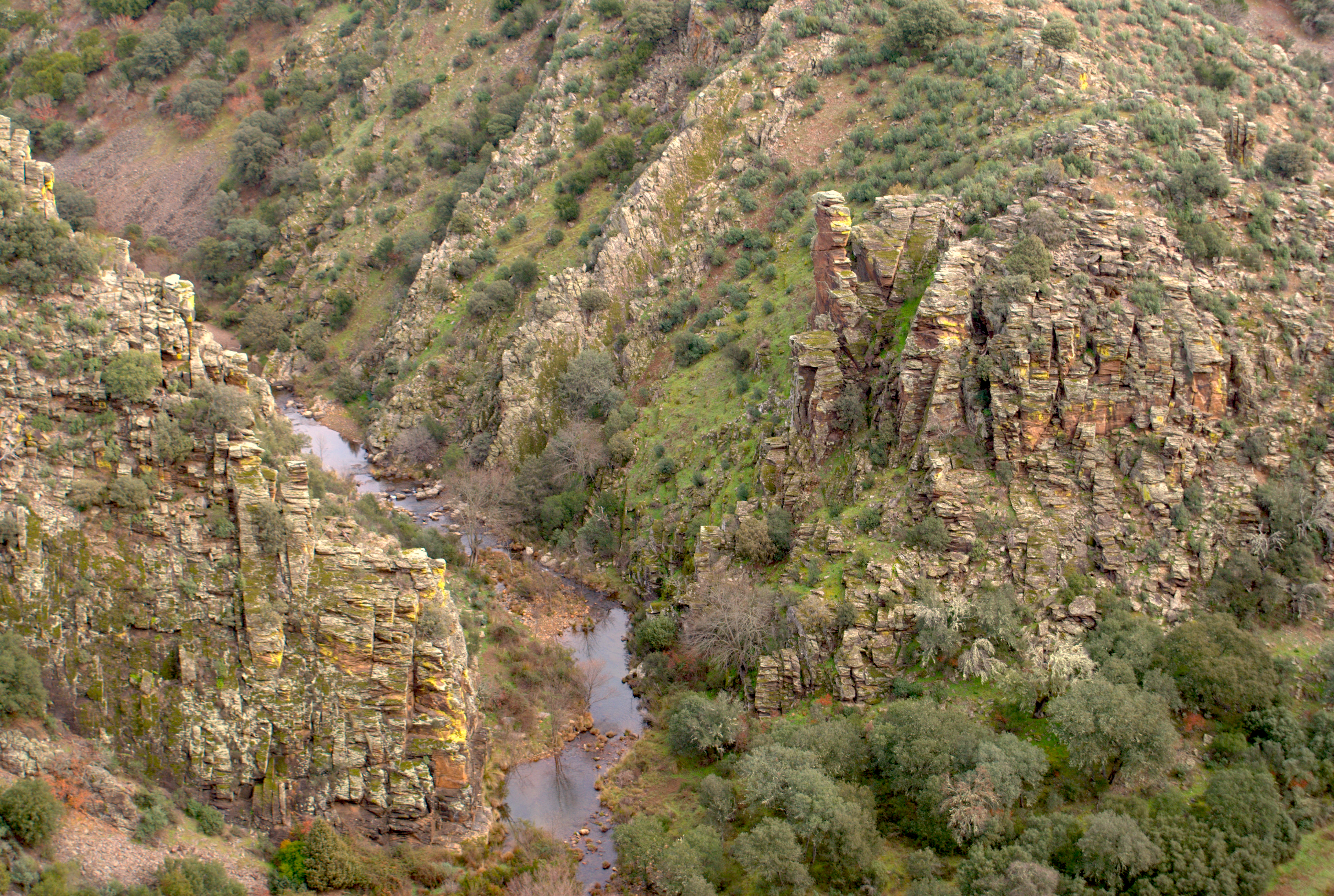
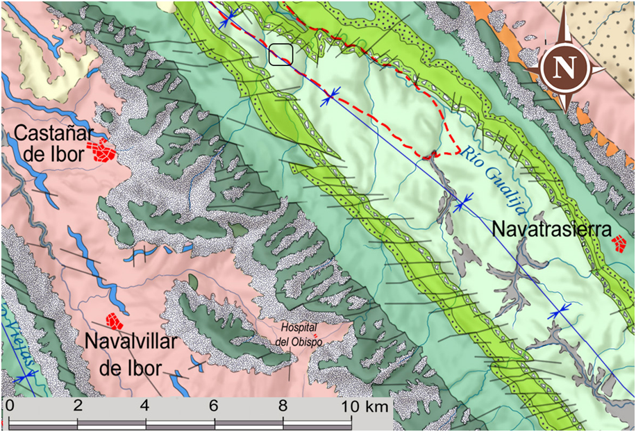
The geosite is located near the core of the Guadarranque-Gualija syncline. The viewpoint is located in the alternations of slate and micaceous metamorphosed sandstones of the Guadarranque Formation. The meanders in the Gualija river, which can be seen from the viewpoint, are formed as the river flows through materials of different resistance to erosion (“Lutitas intermedias”, Gualija Formation, which includes levels of diacmictites and the Cuarcita de las Mazuelas (Mazuelas quartzite) and the shaly Guadarranquejo Formation). The two major bends of the meanders in a northerly direction occur as the soft “ Lutitas Intermedias” cross the Gualija river.

The Silurian shales that outcrop in this area are located at the northeastern end of the metamorphic contact caused by the magmatic intrusion that gave rise to the Berrocal de Peraleda. This intrusion was produced during the Variscan orogeny by the ascent of a granitic magma through pre-existing fractures in the Earth’s crust. The contact of the magmatic body with the surrounding rocks caused a phenomenon known as contact metamorphism, or thermal metamorphism, which led to transformations in the mineralogy of these slates, giving rise to slightly different metamorphic rocks depending on the degree of pressure and temperature received depending on their proximity to the batholith.

49EN