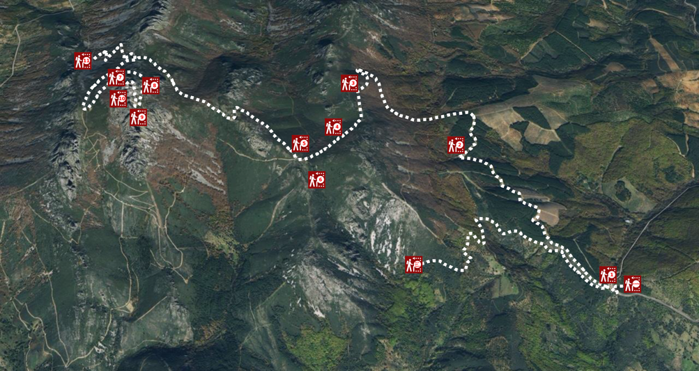
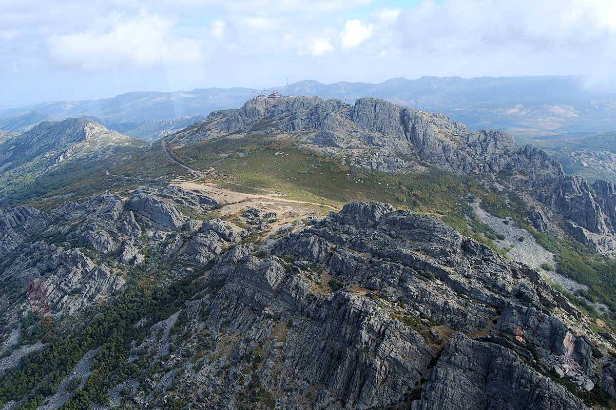
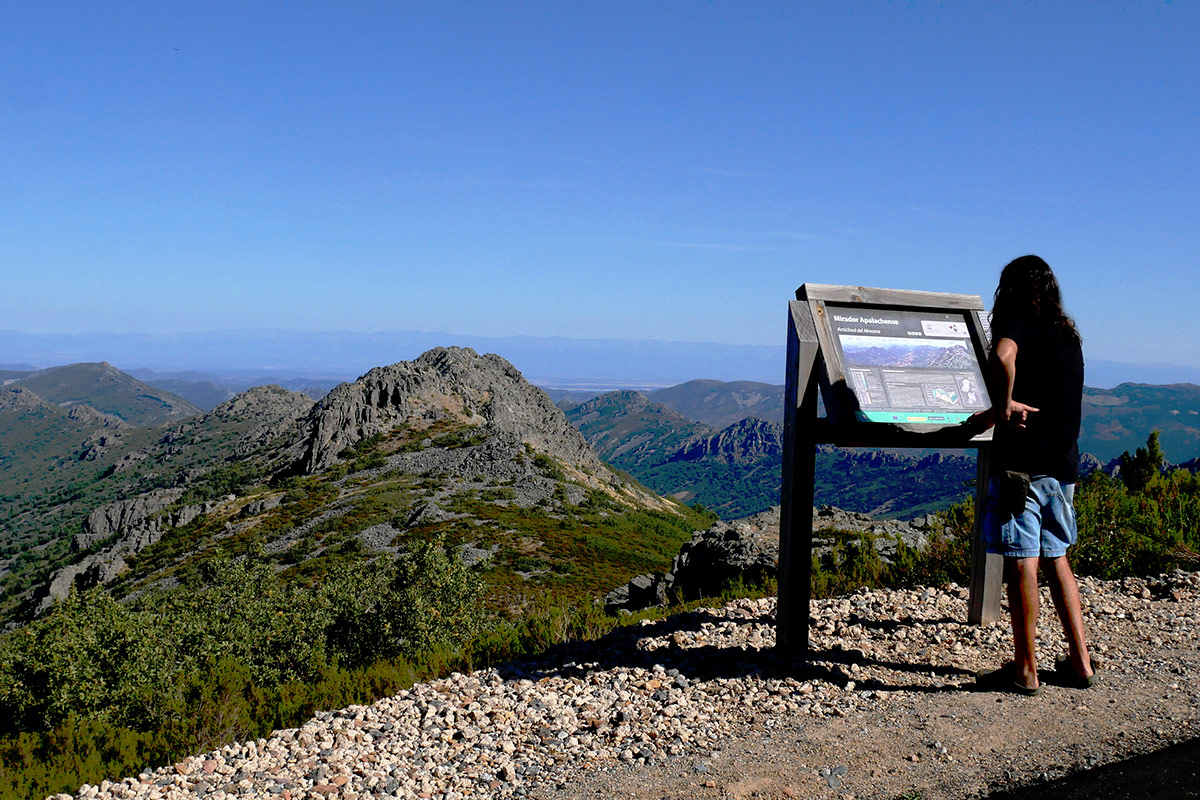
The crag of La Villuerca is the highest peak of the mountainous massif of the Villuercas-Ibores-Jara Global Geopark of the UNESCO. This massif is the best example of the Appalachian type relief recognised in Law 42/2007 on the Natural Heritage and Biodiversity as one of the most representative geological units and of world importance in the geological context of Spain. It is on the ascent to La Villuerca where we find the best viewpoints for appreciating this outstanding geomorphology consisting of valleys and mountain ranges arranged in parallel.
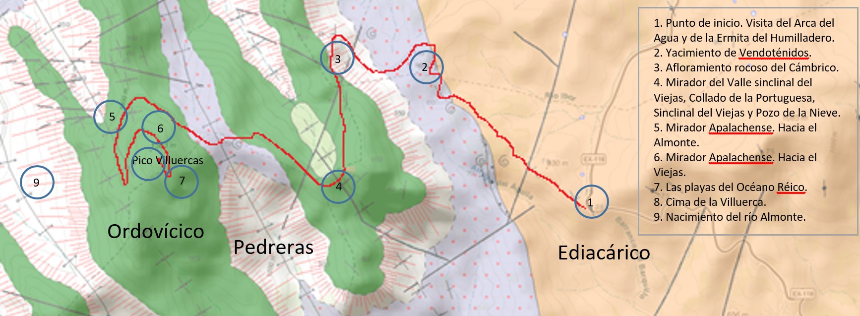
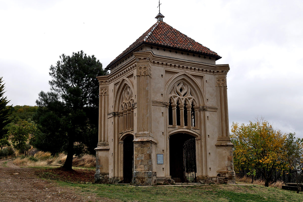
This is a cultural, ecological, and geological itinerary. We start from the Chapel of El Humilladero and can make a detour without climbing to the Arca del Agua, the works of a water capture achieved by the monks of Guadalupe seven centuries ago by taking advantage of the marshes or bohonales of the geology of this upland area. A good opportunity for discovering the diversity of the flora of this enclave is provided by the Ecological Corridor of the River Guadalupejo. During the climb to La Villuerca we can also study the various layers of vegetation at different altitudes and orientations, observing from riverside to rock plants at a height in addition to forestry and agricultural crops. For the same reason it is an important site from an ornithological point of view.
At the second stop we will visit a site of Vendotaenids, fossils from the Ediacaran period and therefore among the oldest on record; their biology still has to be determined.
The ascent crosses various passes. On one of them, that of La Portuguesa which is where the synclinal valley of the Viejas begins, we find the Pozo de la Nieve (Snow Well) which is recorded in the cultural history of the Monasterio de Guadalupe.
It should not be forgotten that between this point and the summit the trail which descends to Navezuelas takes us to the source of the River Almonte from the largest patch of hillside debris of Las Villuercas, the result of the erosion of the Armorican quartzite in the periglacial environment of the Pleistocene.
To continue the ascent we will reach the Appalachian Viewpoint with at least a couple of proposed stops. We recommend you should do the last kilometre on foot so as to enjoy the history of the formation of Pangea, of the colossal forces which moved this territory, and in consequence the undeniable aesthetic quality of the landscape. Before reaching the summit we will discover a geological curiosity in the form of an outcrop which speaks to us of the Rheic Ocean, which existed before it was annihilated by the continental collision which gave rise to the supercontinent Pangaea some 300 million years ago.
Finally, the summit shows a compendium of all we have seen. Looking towards the south however we can see clearly the rañas of Cañamero and Alía and the historical landscapes of Guadalupe and Mirabel.
It is important to approach La Villuerca with an open mind and enjoy what you see understanding and considering its geology, environment, culture, aesthetic values, heritage, and the wellbeing of the population of the vicinity. Take part in the conservation, dissemination, and assessment of the history of the Earth at the Villuercas-Ibores-Jara Global Geopark of the UNESCO.
GEOLOGICAL SETTING
The setting for the geological itinerary described here is the Montes de Toledo, to be precise on the Villuercas massif in the Villuercas-Ibores-Jara Global World Geopark of the UNESCO.
All the rocks which outcrop on the route are of sedimentary origin and can be grouped in two major geological periods:
- Ediacaran (630-540 million years ago), consisting of shales, greywackes, conglomerates, and the odd level of limestone from ancient sediments deposited in deep marine basins.
- Cambrian-Middle Ordovician (540-470 million years ago), represented by thick layers of quartzites, shales, and sandstones deposited in a shallower marine environment than the above in the area known as the continental platform.

