Geoparque Mundial UNESCO

Nº46 – El Pedroso Olistostrome

Geoparque Villuercas > Nº46 – El Pedroso Olistostrome

LOCATION AND ACCESS

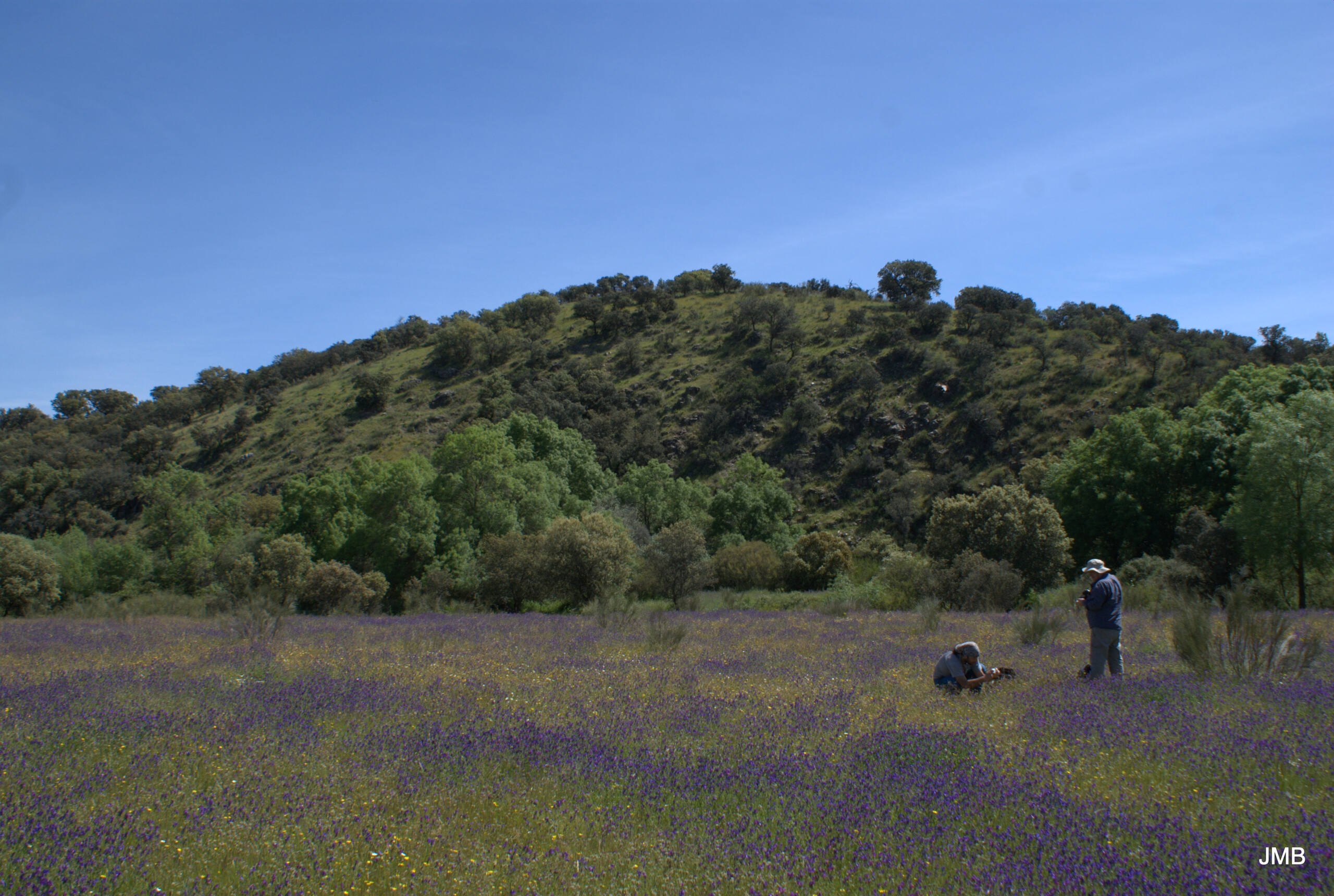
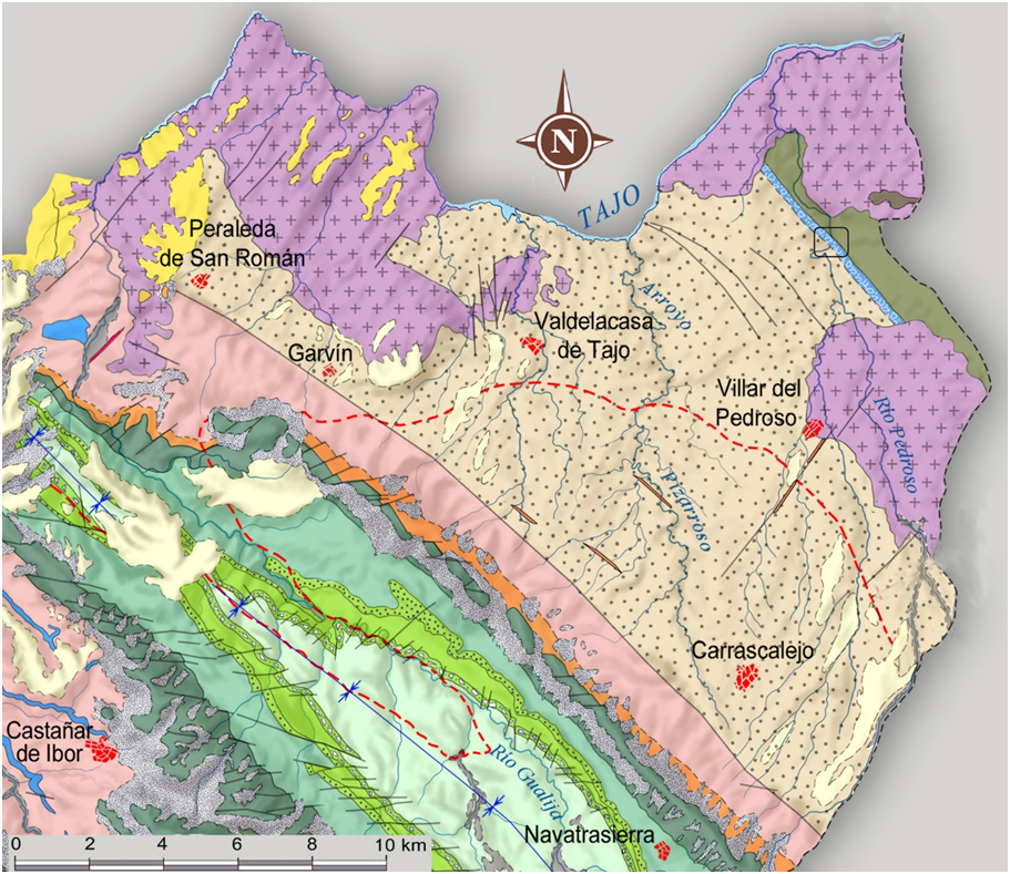
Access is via a path on the left-hand side of the EX-387 road about 5.7 km from the village of Puente del Arzobispo in the direction of Valdelacasa de Tajo. The car can be left in a small lay-by on the right-hand side of the road, about 150 m from the access to the path. The path runs for about 800 m along a fairly flat topography and has to be covered on foot, following the bed of the Pedroso stream (Arroyo del Pedroso) parallel to it. After walking along this section, you reach the escarpment located to the east of the Pedroso stream, and after walking for about 130 m up the slope, you reach the geosite.

State of access/difficulty: The path is in poor condition, and is not suitable for vehicles, although it can be done on foot without any problems.
GEOLOGICAL INTERPRETATION

These olistostromic units outcrop only in the northern sector of the Valdelacasa anticlinorio, where they are widely represented. They overlie the Cíjara Formation in an angular and erosive unconformity. The interpretation of these materials is a clear example of penecontemporary brecciation and collapse of the carbonate platform (Ibor Group), whose material is mixed with material from the Cijara Formation as it falls down the slope, forming a chaotic mass where blocks of different sizes and origins (olistoliths) are mixed with fine-grained material which forms the matrix. Within the material forming the olistostroma, some limestone olistoliths contain specimens of Cloudina which are poorly preserved due to the contact metamorphism affecting these materials. Their age is very close to the base of the Cambrian.

46EN