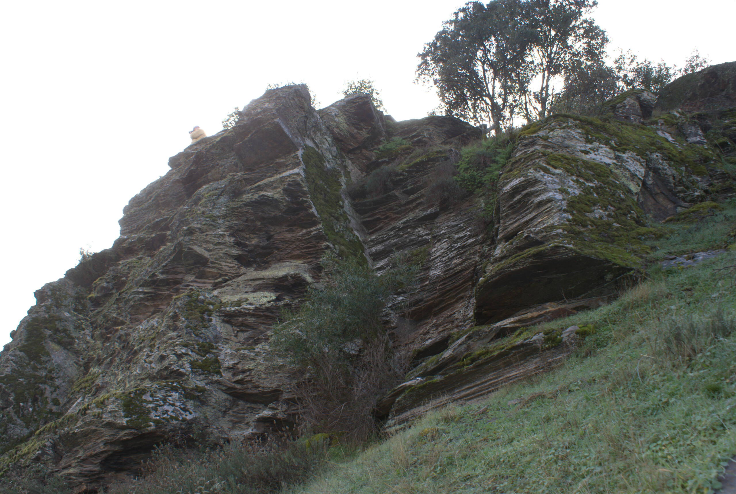
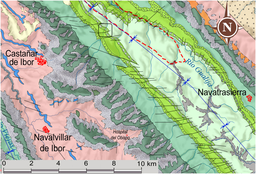
This geosite is located on diamictite levels dating from the last stage of the Ordovician period (445 to 443 Ma) in which the planet suffered severe glaciations that caused a phenomenon of mass extinction of the species that inhabited its seas. In fact, this extinction is counted as the second largest in the geological record. A detailed description of these levels can be found in Geosite 28 (Cancho de la Trucha),
In this area, the diamictites include a shaly matrix comprising fragments of allochthonous rocks, which were transported by glacier ice from the existing South Polar ice cap that was located in the emerged areas of Gondwana. In their advance, these glaciers incorporated rock fragments until they reached the ocean, where the glaciers melted and these rock fragments fell and were incorporated into the muddy marine sediments, forming diamictites. In this way, the diamictites are a testimony to the great glaciation that caused the intense climatic changes that occurred at the end of the Ordovician.


