LOCATION AND ACCESS
The geosite is part of a Geological Route that starts in Campillo de Deleitosa, taking the old road to Robledollano until it reaches the gorge, at the starting point of the aqueduct. From here the route follows the aqueduct until it ends, from where it returns to Campillo.
The “Acueducto de las Herrerías” is a hydraulic infrastructure, built at the beginning of the 20th century, by means of which water was channelled from a small dam through a canal to achieve an appreciable difference in height and generate electricity in mini-power stations located along its route. With a length of about 5 km, it runs along the left bank of the Descuernacabras gorge, over a very rugged topography, which gave rise, in its day, to the construction of sections with arcades of great architectural beauty.
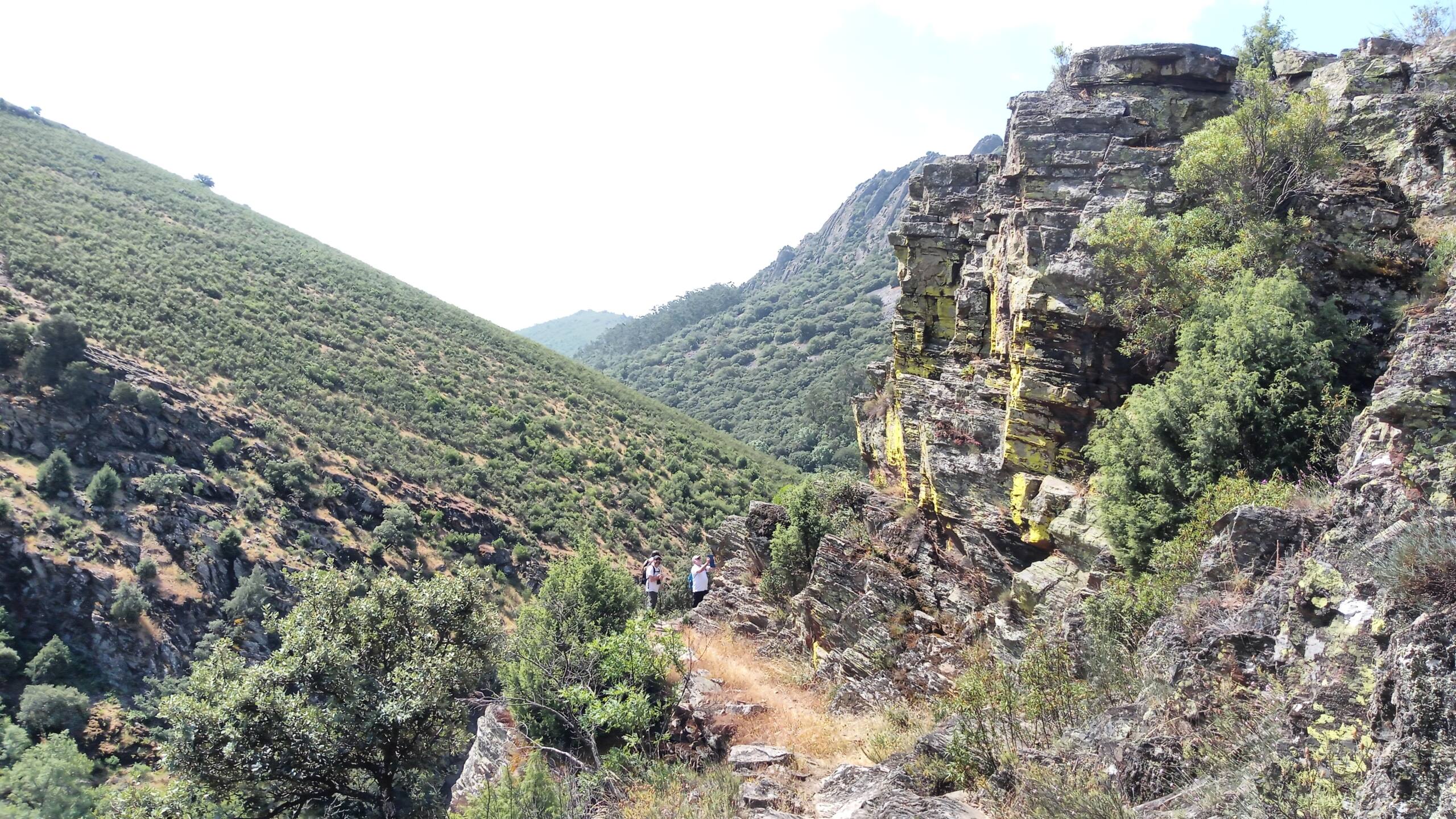
The Descuernacabras gorge is a riverbed carved out of materials mainly made up of Ediacaran-age greywackes and lutites, which has given rise to a spectacular cut-in relief.
ATTRACTIONS OF THE VISIT
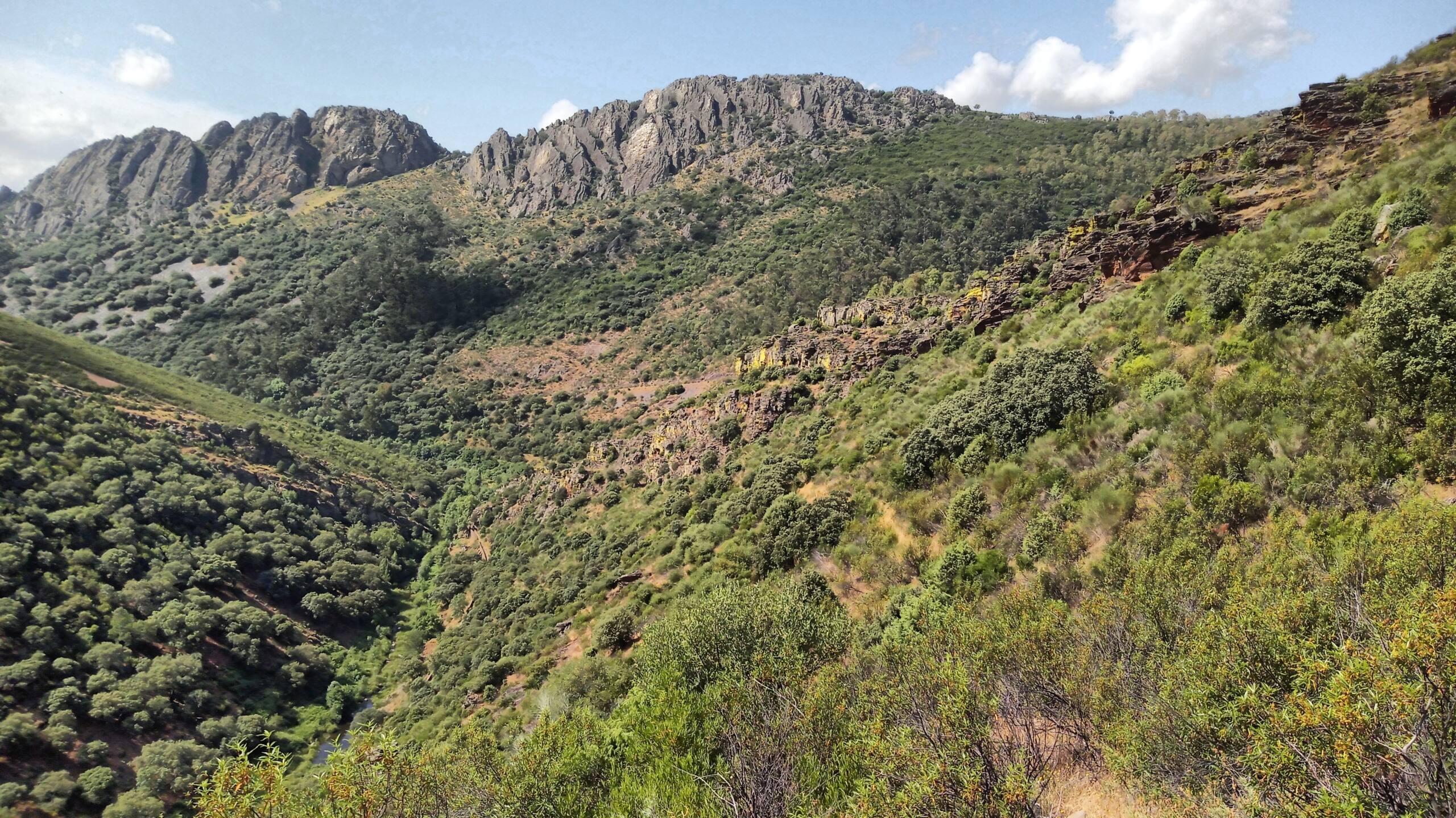
Viewpoint over the Descuernacabras gorge. This viewpoint reveals the gorge, the blacksmiths’ channel, the mining ruins in the background and the outcrops of Ediacaran rocks that are the most common in the landscape. The olive trees, usually of the cornicabra variety, are to be mentioned here. For the locals, the name of the gorge seems to come from these olive trees as “Garganta de cornicabras”.
Viewpoint towards the Juan Caldilla mountain range. The viewpoint, a hundred metres below the previous one, reveals the opposite panoramic view of the Juan Caldilla mountain range. Ahead, in our view, are the outcrops of greywackes and lutites and, in the background, in the sierra, the outcrop of the Armorican Quartzite. Between them there are a hundred million years, two orogenic cycles, faults, erosion, landslides and the formation of a uniquely beautiful landscape, complete with a riparian forest, interrupted only by the industrial heritage of the ironworks.
It is also a good place for birdwatching. The view of the Juan Caldilla cave completes the interest, as it is formed in the concave part of the hinge of a small anticline, which gives it a special geometry that differentiates it from most of the existing shelters in the geopark. The story of the maqui (Spanish guerilla) Juan Caldilla is one more of those that fill the Spanish post-war period and adds a special component to the whole.


