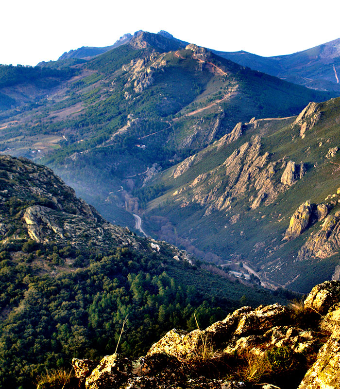
During virtually the whole of the Middle Ages, Extremadura was an eminently frontier land. This led to intense warfare and frequent border changes. Witnesses of that time are the numerous fortresses which stud the most strategic points of the Villuercas-Ibores-Jara Global Geopark of the UNESCO.
Until well into the 13th century when the Reconquest was completed the frontier between the Christian and Moorish kingdoms was subject to frequent changes; it was sometimes in the vicinity of Córdoba and Seville but on other occasions it was marked by the valley of the Tajo. This meant that on the most strategic sites such as mountains and lofty hills the defensive structures of citadels, fortresses, and castles were built. Although these constructions were destroyed and rebuilt throughout the Reconquest, even today many of them continue to stand erect on their vantage points to dominate the landscape and very often the toponymy.
When the kingdom of Castile conquered the Moslems in the 13th century the town of Trujillo also recovered its territories, which became crown property; these included Logrosán. One of the Moslem fortresses of this area was that established on the Cerro de San Cristóbal of this village. Remains can still be seen of the hisn (castle) and an Arab settlement surrounding it.
Another of the Moslem fortifications of the Geopark is that of Cañamero, which is located on a quartzite crag with some remains from the Chalcolithjic period. Ruins of the castle can be seen together with some fragments of the walls. Likewise the cistern and a central tower can still be made out. By 1220 the fortress was already abandoned and in the 15th century the order was given to demolish it as it served as a refuge for the villains who attacked the pilgrims of Guadalupe. Close by is the so-called Cueva de la Mora (Cave of the Moorish Girl) which evokes the Arab past of these crags.
