Geoparque Mundial UNESCO

Nº34 – Castañar de Ibor block slopes

Geoparque Villuercas > Nº34 – Castañar de Ibor block slopes

LOCATION AND ACCESSIBILITY

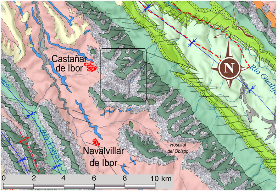
Access is via a dirt track that starts at km 29.100 on the EX-118 road, on the left as soon as you leave Castañar de Ibor in the direction of Navalvillar de Ibor. After 2 km along the road, you reach a level area where you can leave the car and continue on foot for 1 km along a faint path that runs parallel to the Calabazas stream until you reach the rocky outcrops, which can be seen from the EX-118 road between kilometres 35 and 36.

The dirt road is passable by off-road vehicle up to the level area. The footpath is faint and gets lost at several points, as it is heavily covered by vegetation and rocks.
ATTRACTIONS OF THE VISIT

A specific element of high landscape value. It has low visual accessibility and a certain landscape fragility as a result of its exposure and low capacity to absorb impacts.

GEOLOGICAL INTERPRETATION

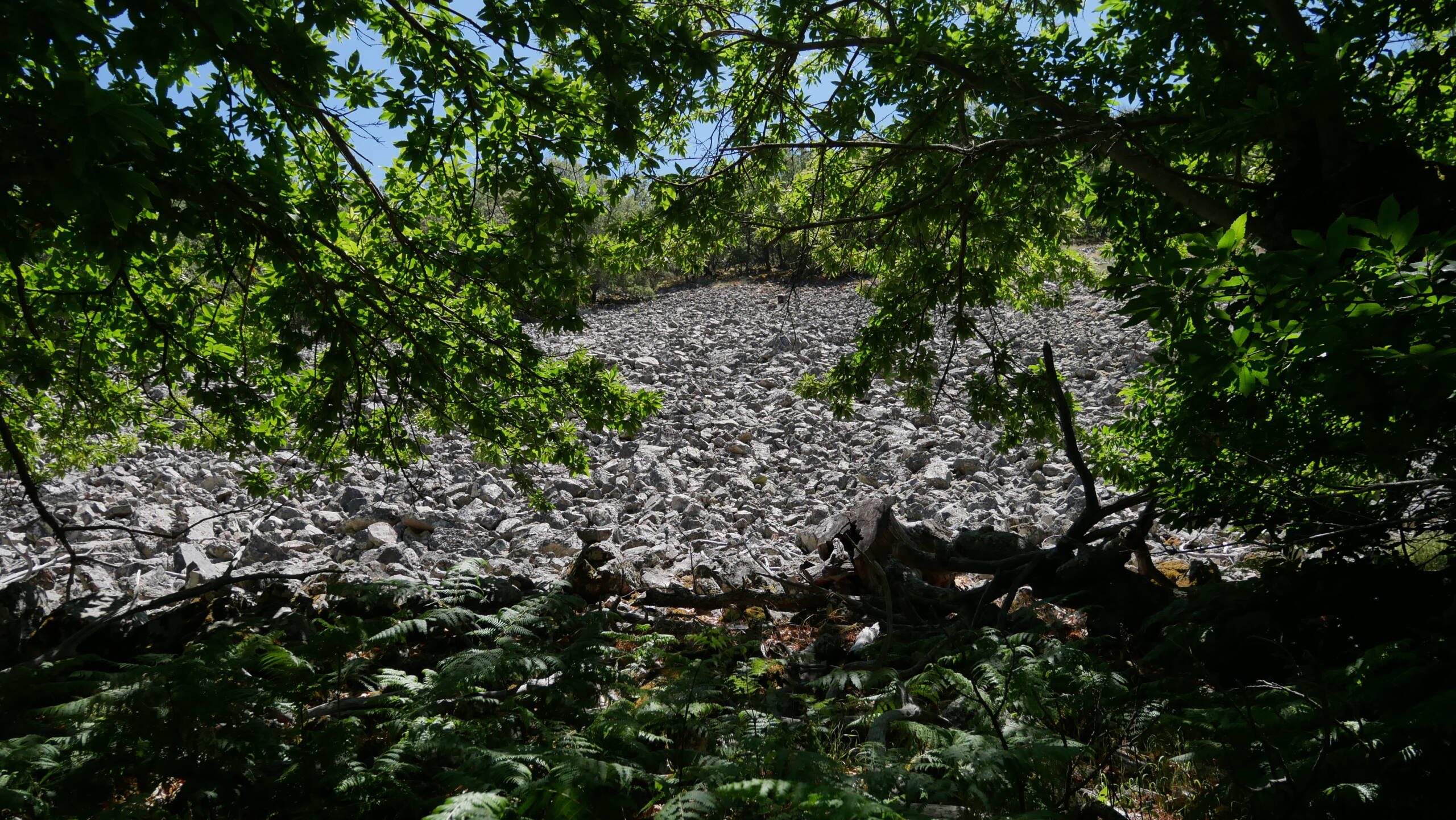
These boulders are accumulations of blocks slid by gravity that cover the slopes of the Sierra del Castañar. The detailed explanation of their origin is described in Geosite 11, Nacimiento del Almonte. They are due to the breaking of the rocks that make up the ridges of this mountain range. As a result of this process, these tapestries of large fragments and blocks of quartzite rock are formed in the form of a fan on the slopes of the ravine that runs along the Calabazas stream.

34