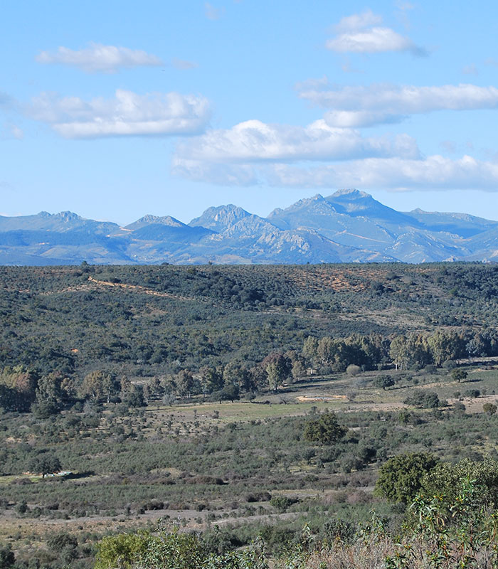
This is an extensive mountainous massif with a surface area of 2,544 km2 located in the southeast of the province of Cáceres between the basins of the Tajo and the Guadiana. Its highest point is the Risco de La Villuerca (1,601 m), the top of which affords a magnificent view including the mountain ranges, the valleys, the rañas, and Guadalupe to the south with the Real Monasterio as its identifying mark.
This orographic ensemble was declared as Global Geopark in September 2011 and member of the European and Global Geoparks Networks. Since November 2015 it was recognized as UNESCO GLOBAL GEOPARK.
Geoparks are natural areas which preserve an outstanding geological heritage, a typical modelling of the landscape in which the rocks, minerals, and fossils can explain to visitors, nature-lovers who are not necessarily familiar with geology, the history of the Earth. Moreover, geoparks promote research, conservation, education, and social and economic development; in particular they boost geotourism. You will find enough information on these activities on this website.
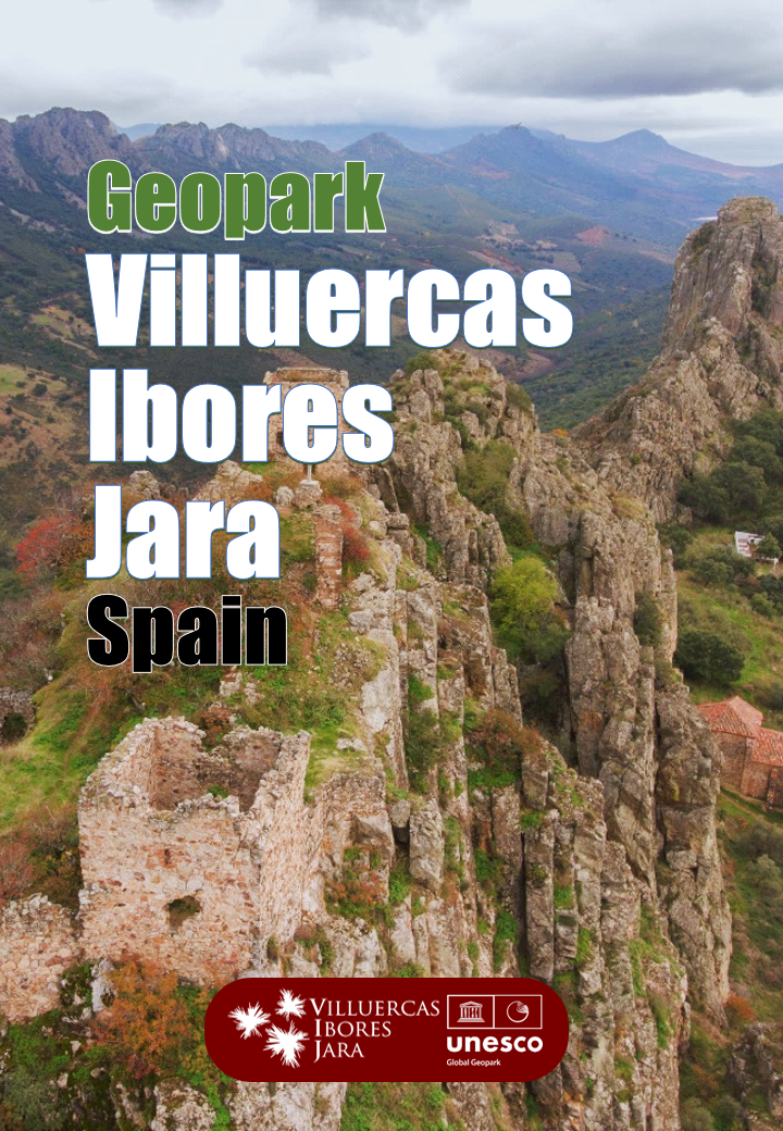
An informative geopark leaflet appears when touching the picture on the right.

In order to interpret the geology of this Geopark we will start from the observation from La Villuerca of a Palaeozoic mountain core surrounded by ancient peneplains. A system of sierras and valleys aligned in a northwest-southeast direction of outstanding beauty.
The whole ensemble is no more than the result of the action of millions of years of erosion on a macrofold which occurred during the Hercynian orogenic movement some three hundred million years ago during the Carboniferous period. This great folding structure, which is known as a synclinorium in geological terminology, was as wide as the distance between the villages of Logrosán and Valdelacasa de Tajo.
The synclinorium was levelled by erosion throughout the following eras, i.e. the Mesozoic and the Cenozoic, and rejuvenated by fractures and upward movements of large blocks during the Alpine orogeny some thirty-five million years ago. The fractures (faults) can be seen on the various hills of the sierras of the Geopark, on the Sierra de la Breña, in Deleitosa, on the Riscos de la Trucha (Trout Crags) in the valley of the Guadarranque, and near Castañar de Ibor under the Cancho de las Narices (Nostrils Rock) where we will also find other phenomena such as the slickenside or the folds which accompanied the fracture. Finally, the current modelling of the river network acting on this intensely folded and fractured territory has shaped the landscape we see, with its characteristic geomorphology known as “Appalachian relief” type.

