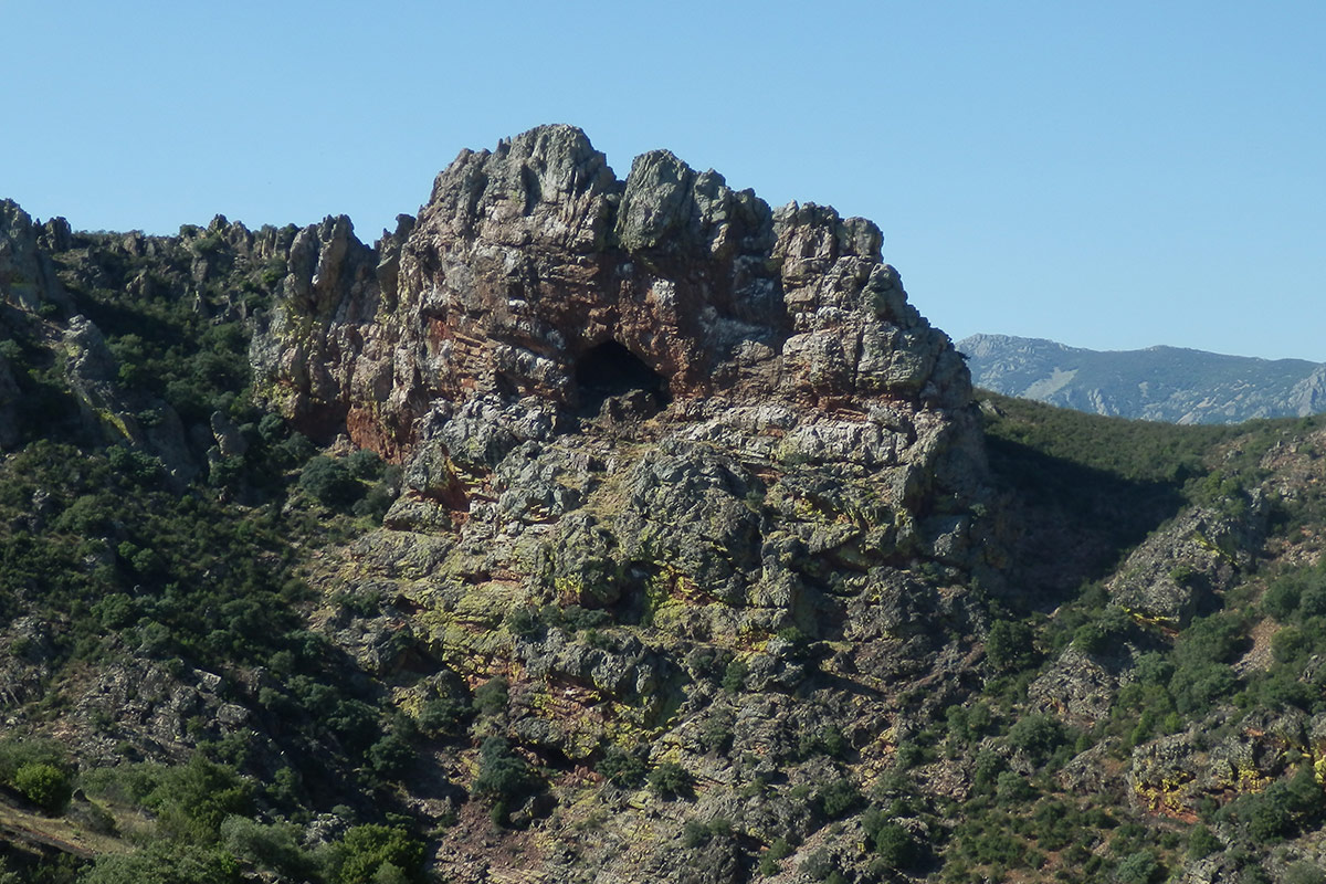


The route starts from the village of Alía and moves east along the Drovers’ Road of the Logrosán Trail as far as the viewpoint of the imposing Estrecho de la Peña Amarilla (Defile of the Yellow Crag), one of the most spectacular geosites in the Geopark. It is an easy itinerary on dirt tracks in good condition and without major differences in altitude. Shortly after the start the route penetrates areas of dehesa of holm oaks (Quercus ilex) among gentle hillocks as far as the Puerto de la Cumbre, which affords the first impressive views of the Sierra Palomera and the steep Estrecho de la Peña Amarilla which accompany the remainder of the route until the viewpoint is reached.

The Estrecho is a river defile produced by the embedment of the Jarihuela Stream between the almost vertical layers of the orthoquarzites of the Armorican quartzite formation (of the Lower Ordovician some 470 million years ago). These layers make up the western flank of the syncline of the Guadarranque. In addition to the spectacular geology, you can also observe in the vicinity good examples of fossil tracks of trilobites (Cruziana) and the characteristic yellow lichens (Acarospora oxytona) which cover the rocky walls to give them their name.

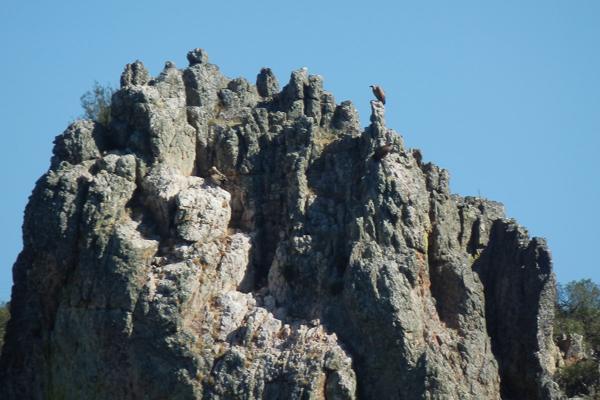
From the viewpoint you can also see colonies of griffon vultures (Gyps fulvus) and isolated nests of the Egyptian vulture (Neophron percnopterus), black stork (Ciconia nigra), and peregrine falcon (Falco peregrinus).
