Guadalupe HIGHROAD
It measures: 3/5 Means 2/5 Distance 2/5 Itinerary 5/5 Effort The Guadalupe Highroad is one of the traditional pilgrim routes to the Monasterio de Guadalupe; it connects this town to [...]
Guadalupe-Alía route
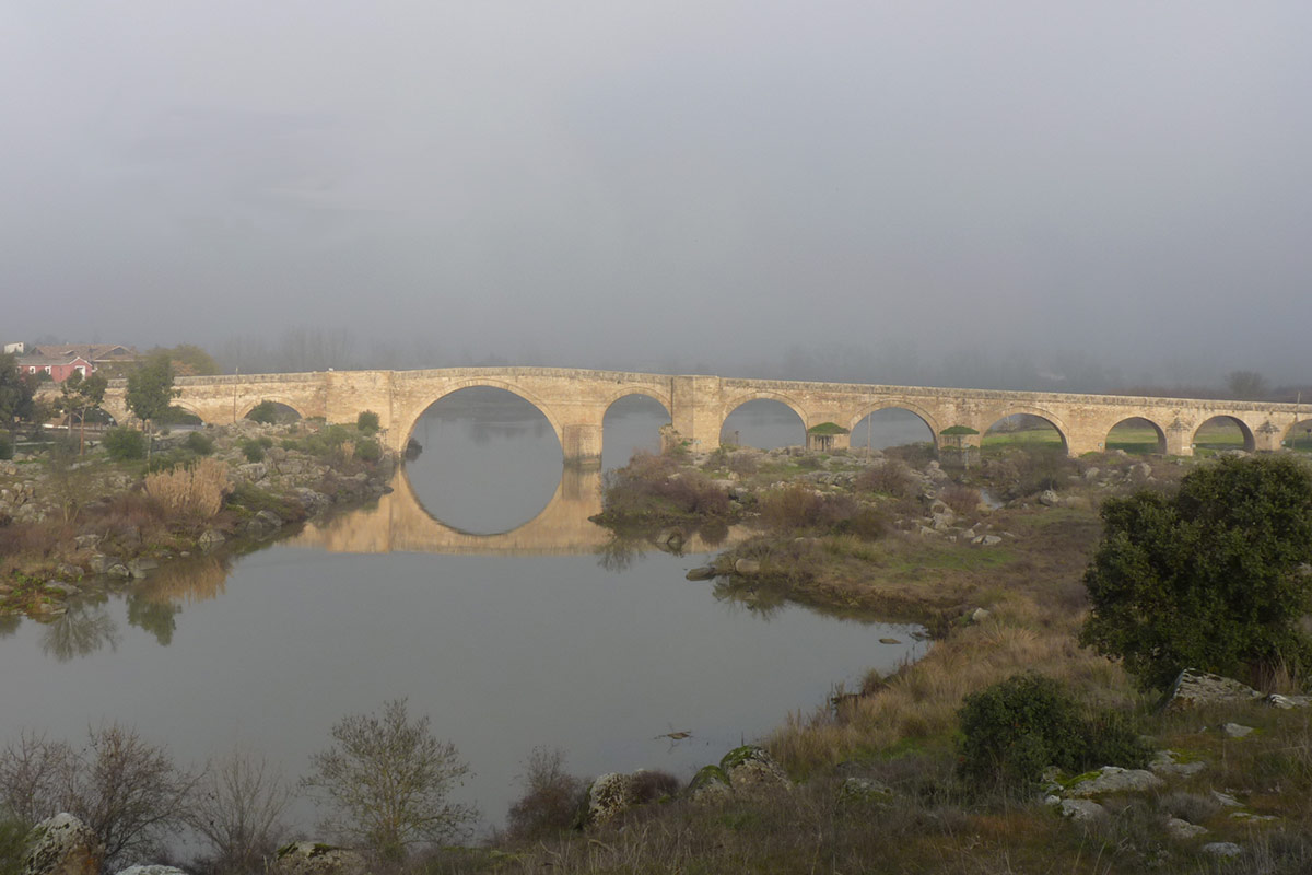
Mide: 1/5 Means 1/5 Distance 1/5 Itinerary 3/5 Effort This is the last stage of the route which connects the capital of the province of Toledo with Guadalupe via the [...]
HIERONYMITES’ ROUTE
It measures: 2/5 Means 2/5 Distance 2/5 Itinerary 3/5 Effort This long-distance route links the Monasterio de Yuste in the district of La Vera with the Monasterio de Guadalupe; both [...]
Route of Alfonso Onceno
It measures: 3/5 Means 2/5 Distance 2/5 Itinerary 5/5 Effort The route of Alfonso Onceno between the town of Guadalupe and the village of Navezuelas is one of the best-known [...]
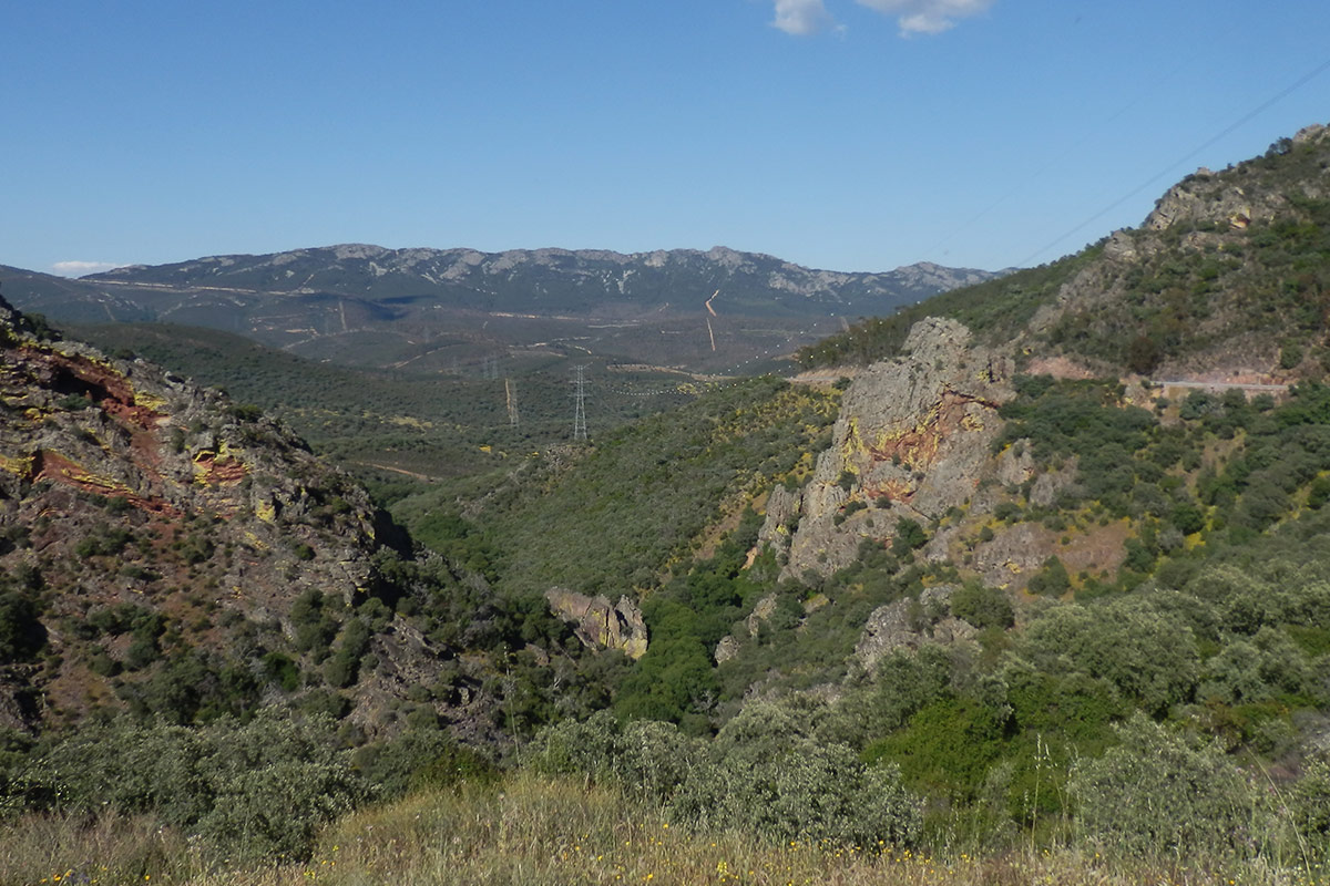
Strait of the Peña Amarilla (Montes de Toledo trail)
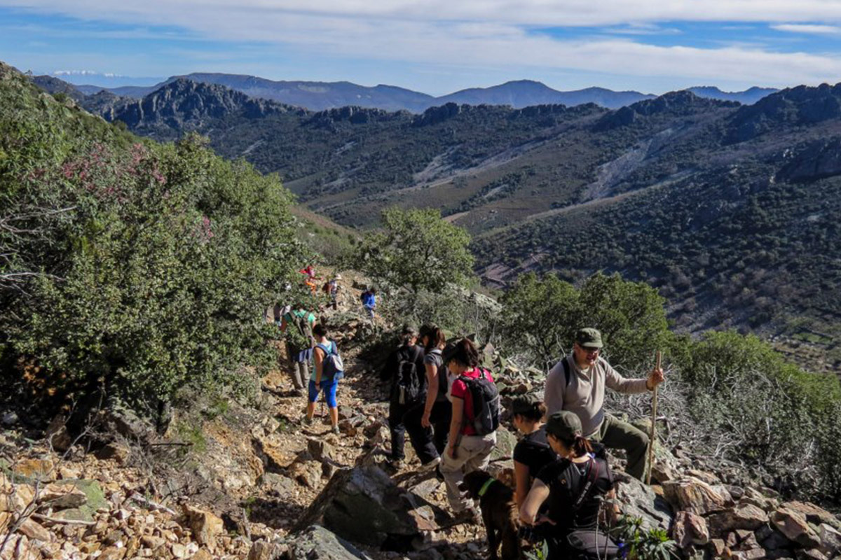
It Measures: 3/5 Means 2/5 Distance 2/5 Itinerary 5/5 Effort The route starts from the village of Alía and moves east along the Drovers' Road of the Logrosán Trail as [...]