LOCATION AND ACCESS
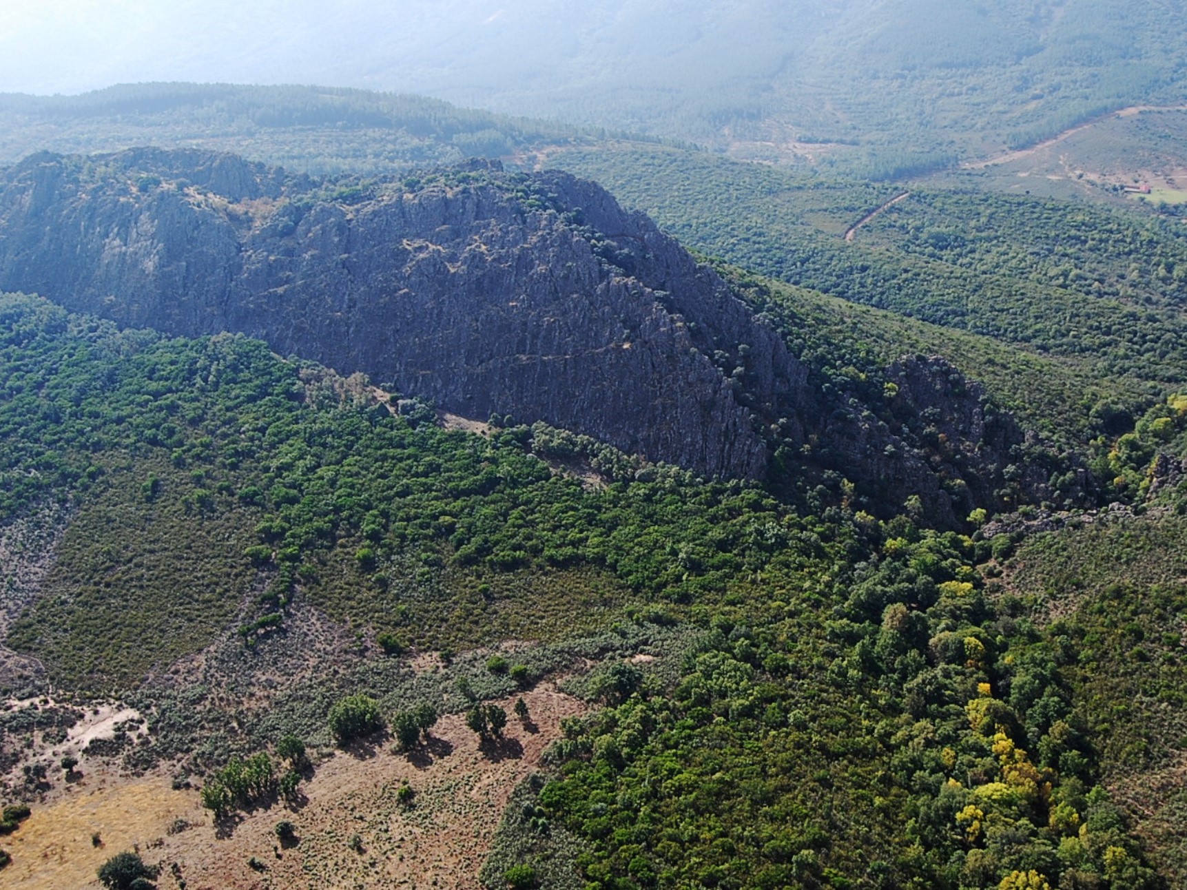
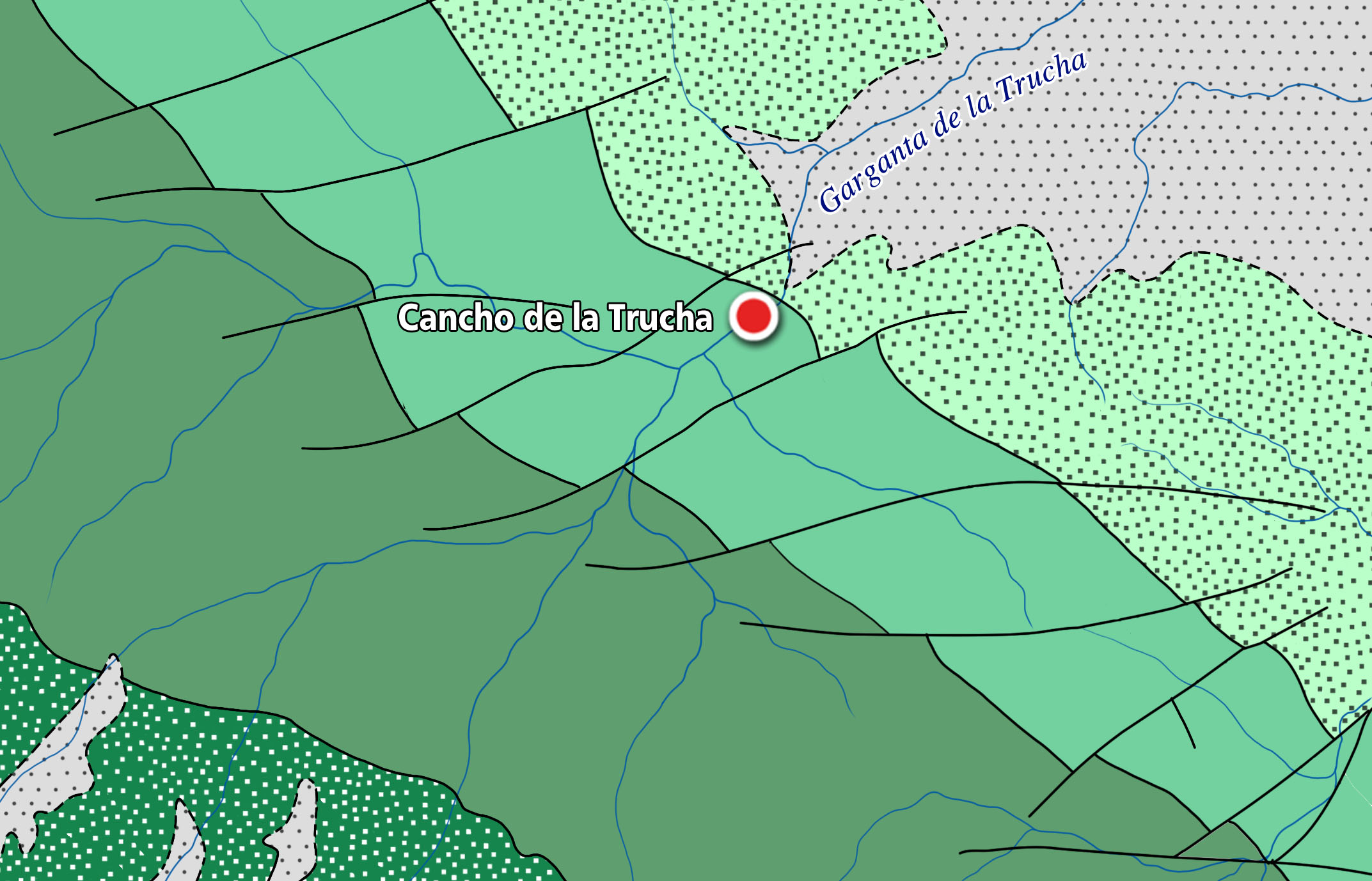
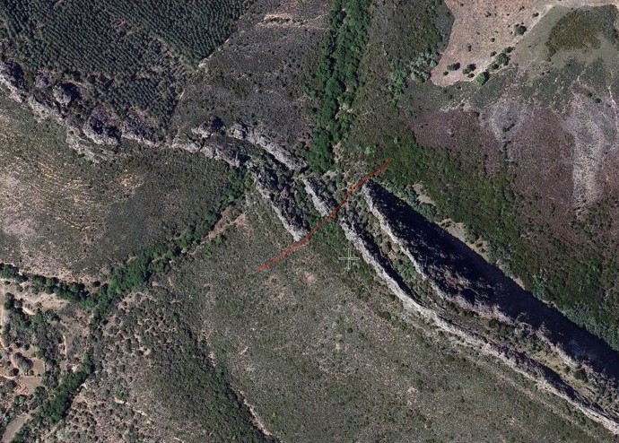
Along the axis of the extensive Guadarranque syncline runs a forest track that connects the EX-102 road, between Alía and Puerto de San Vicente, with the town of Navatrasierra. Along this path, which is about 20 km long, we first reach a cheese factory located in the “Llanos de la Trucha” and, from there, we head on foot towards the so-called “Charco de la Trucha” (Trout pool), located between two quartzite crests through which a large gorge, a tributary of the Guadarranque river, has opened up.
If we choose to walk along the path of the stream, the degree of difficulty is high, or very high, as it is a narrow valley or gorge through which the water of the gorge and the rugged quartzite rocks barely allow passage. However, the effort will be rewarded by the wild beauty of this geosite, where in summer we can cool off and enjoy its impressive nature.
ATTRACTIONS OF THE VISIT
During the visit, in addition to the geology of the quartzite outcrop, through which the Cancho de Trucha opens up, we will observe one of the best preserved forests of Prunus lusitánica (Portuguese laurel) in the “Lorera de La Trucha”. In this more humid area, under the rocky vegetation (which grows on the rocks), we can see the thick gallery forest of laureal which, accompanied by alder and ash trees, provide shade for the area. Portugues laurel are trees that already existed in the Tertiary period, at a time when the entire Iberian Peninsula was covered by Laurisilva forests, typical of more temperate and humid climates, and which today continue to form copses in very specific areas, with very specific climatic and edaphological characteristics, such as those existing in some of the valleys of the Villuercas-Ibores-Jara Geopark.
To finish the excursion, head towards the village of Navatrasierra, where there are abundant deposits of trilobites and other marine invertebrates (such as molluscs and brachiopods), which you can discover at the Fossil Interpretation Centre, and then leave via the Arrebatacapas pass towards the plains of La Jara cacereña (Valdelacasa anticlinorium), or towards Guadalupe along the CC-20 road, where you can see the Canchos del Ataque, rest at the Hospital del Obispo or climb the Risco Carbonero.
