LOCATION AND ACCESS
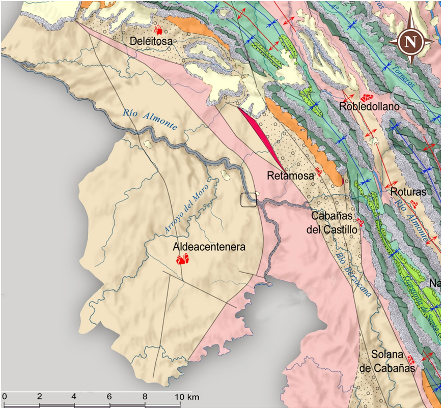
Access is via an asphalted track that starts in the eastern part of the Aldeacentenera village and leads to the CC-22.2 road. After leaving Aldeacentenera and travelling some 6.7 km along this track, you reach a lay-by on the right-hand side where you can leave your car, and then continue walking along the path that starts there for about 280 m until you reach the bridge.
The asphalted track is in good condition and can be accessed by all types of vehicles up to the lay-by. The last stretch is a path that can be walked on without difficulty.
ATTRACTIONS OF THE VISIT
The Puente del Conde (Conde bridge) has been declared an “Bien de Interés Cultural (Asset of Cultural Interest) in the monument category. It is a 65-metre-long bridge built in the 15th century, which linked the areas of Trujillo and Guadalupe. The materials used for its construction are river pebbles and slate slabs collected from the surrounding area, which, together with the mortar and brickwork, provide a perfect integration with the surrounding geological environment. The bridge has five spans with their vaults, four of which are semicircular and one pointed. It should be noted that on the north bank there are several elements of heritage interest related to vernacular architecture and linked to the bridge: a mill and three zahúrdas (sties), as well as the remains of the canal that fed the mill.
This area has a high visual quality, being formed by slopes made up of slate levels, which are mainly covered by shrub vegetation forming extensive copses. In the distance you can also make out areas of woodland made up of ash, elm and, to a lesser extent, willow trees. In addition to all this, there is also the presence of rose hips, brambles, hawthorns and, further away from the water, nuclei of Iberian pear (Pyrus bourgaeana).


