LOCATION AND ACCESS
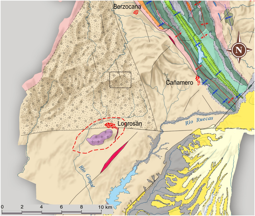
You can get there directly from the CC-22.5 road. Leaving Logrosan after about 8.7 km you will find a lay-by on the right-hand side in the direction of Berzocana.
Geoparque Mundial UNESCO
Geoparque Villuercas > Nº50 – Cabeza del Águila surroundings.
You can get there directly from the CC-22.5 road. Leaving Logrosan after about 8.7 km you will find a lay-by on the right-hand side in the direction of Berzocana.
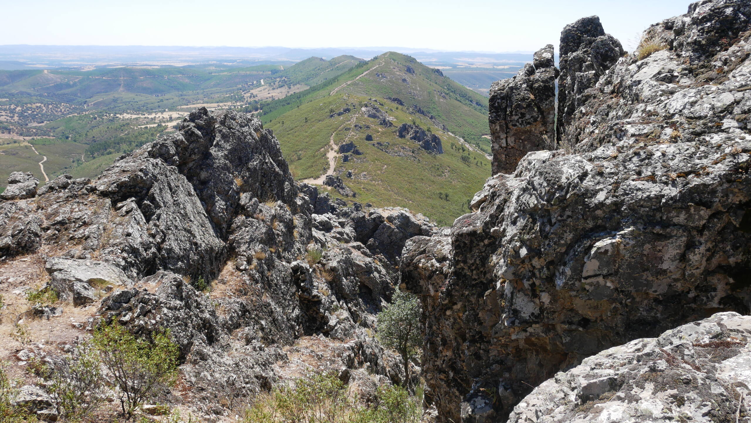
The Cabeza Águila hill, with an altitude of 1006 metres, is situated in the Sierra de los Pollales, which in turn forms part of a southern portion of the Sierra de Guadalupe.
The line of maximum heights of these mountain ranges coincides with the watershed between the Tagus and Guadiana basins, which is very asymmetrical, a feature which indicates the youth of the deformation. It is considered that the deformation is fundamentally intra-Pliocene, falling into what is considered to be Neotectonic, which is why, both in satellite images and in digital terrain models, it is one of the most spectacular Alpine structures in the centre of the Iberian Peninsula.
The visual quality is medium-low due to the abundant presence of vegetation that prevents the full visualisation of the geological environment. The typical habitat is made up of oak groves, occupying almost two thirds of the area. Half of Extremadura’s protected area of Galician-Portuguese oak groves is found in this area. It is also a privileged place in spring for aficionados of wild orchids. Of the fauna species, the most important group are the chiroptera (bats) and forest invertebrates. In the reptile group, the European pond turtle, the Iberian pond turtle and the black-green lizard stand out, as well as the otter.


Geologically, it is located on the Orellana Formation, which includes shales, siltstones, greywackes, diamictites and conglomerates with abundant matrix of marine origin deposited in slope environments and belonging to the Ediacaran basement of the Domo Extremeño Group. These rocks were folded by the Cadomian orogeny at the end of the Ediacaran Period and beginning of the Cambrian. Subsequently, these materials have been affected by important faults generated during the Variscan orogeny and more recently by SW-NE faults produced during the Alpine orogeny, probably neotectonic, which are responsible for the important uplift experienced by the Sierra de Guadalupe.
